City of Norfolk Cemeteries , Virginia — The American South (Mid-Atlantic)
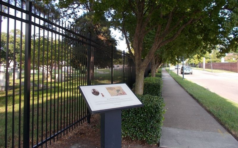
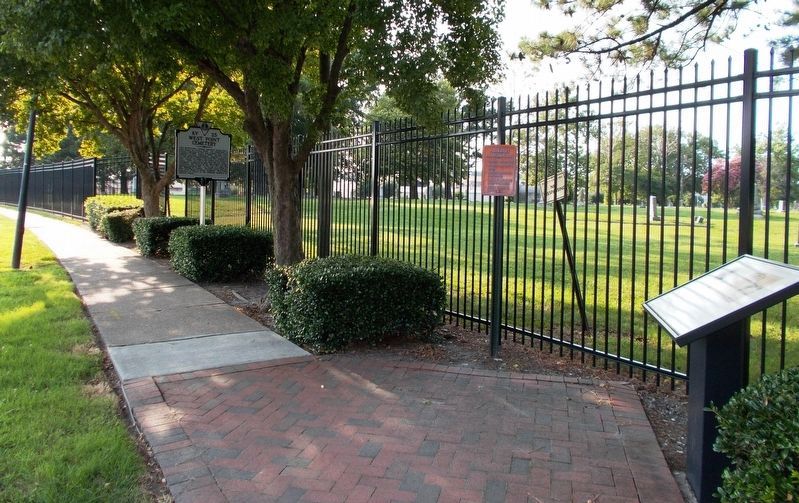
West Point Cemetery
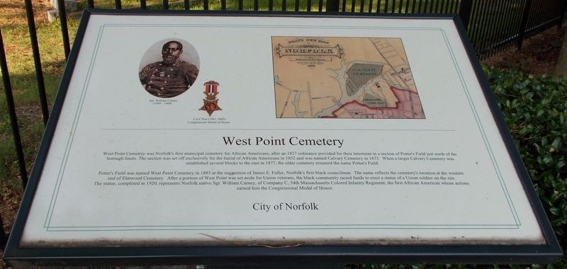
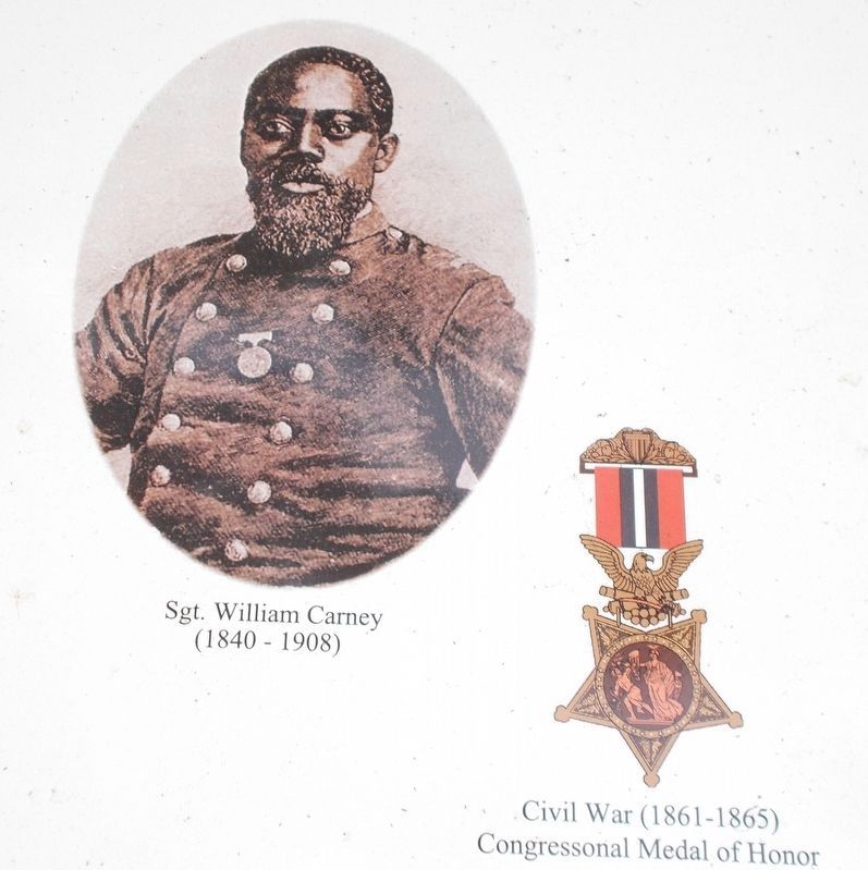
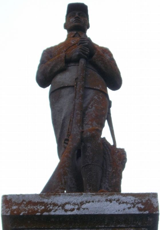
Potter’s Field was named West Point Cemetery in 1885 at the suggestion of James E. Fuller, Norfolk’s first black councilman. The name reflects the cemetery’s location at the western end of Elmwood Cemetery. After a portion of West Point was set aside for Union veterans, the black community raised funds to erect a statue of a Union soldier on the site. The statue, completed in 1920, represents Norfolk native Sgt. William Carney, of Company C, 54th Massachusetts Colored Infantry Regiment, the first African American whose actions earned him the Congressional Medal of Honor.
Erected by City of Norfolk.
Topics and series. This historical marker is listed in these topic lists: African Americans • Cemeteries & Burial Sites • War, US Civil . In addition, it is included in the Medal of Honor Recipients series list. A significant historical year for this entry is 1827.
Location. 36° 51.609′ N, 76° 17.076′ W. Marker is in Norfolk, Virginia. It is in City of Norfolk Cemeteries. Marker is on E. Princess Anne Road, on the right when traveling west. It is in the section of E. Princess Anne Road between Church Street and Monticello Avenue. Touch for map. Marker is in this post office area: Norfolk VA 23510, United States of America. Touch for directions.
Other nearby markers. At least 8 other markers are within walking distance of this marker. A different marker also named West Point Cemetery (within shouting distance of this marker); West Point Monument (about 400 feet away, measured in a direct line); West Point Monument at Elmwood Cemetery (about 400 feet away); Elmwood Cemetery (about 600 feet away); Fort Tar (approx. 0.2 miles away); a different marker also named Elmwood Cemetery (approx. 0.2 miles away); Cedar Grove Cemetery (approx. 0.2 miles away); Ella J. Baker (approx. 0.4 miles away). Touch for a list and map of all markers in Norfolk.
Related markers. Click here for a list of markers that are related to this marker. Each listed marker provides additional insight and photos related to this marker’s inscription.
Also see . . .
1. West Point Cemetery - City of Norfolk, Virginia - Official Website.
(Submitted on July 3, 2018, by Cynthia L. Clark of Suffolk, Virginia.)
2. Virginia Landmark Register. (Submitted on July 3, 2018, by Cynthia L. Clark of Suffolk, Virginia.)
Additional keywords. Norfolk County
1877
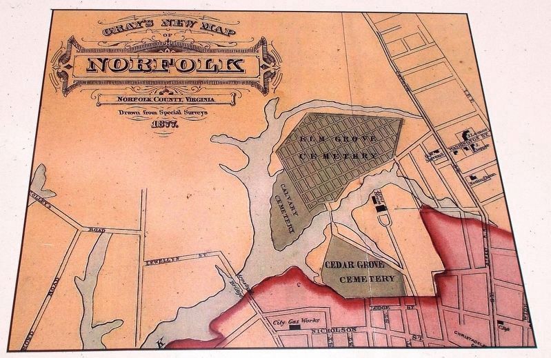
6. Exhibit B: Detail of the 1877 map of Norfolk.
The map’s inscribed heading is: “Gray’s New Map of Norfolk. Norfolk County, Virginia. Drawn from special surveys, 1877.” Note that present-day Elmwood Cemetery is labeled as Elm Grove Cemetery. The other two burial grounds are labeled Calvary Cemetery and Cedar Grove Cemetery.
Credits. This page was last revised on February 1, 2023. It was originally submitted on July 3, 2018, by Cynthia L. Clark of Suffolk, Virginia. This page has been viewed 377 times since then and 56 times this year. Photos: 1, 2, 3, 4, 5, 6. submitted on July 3, 2018, by Cynthia L. Clark of Suffolk, Virginia. • Andrew Ruppenstein was the editor who published this page.
