Sulphur Springs in Hopkins County, Texas — The American South (West South Central)
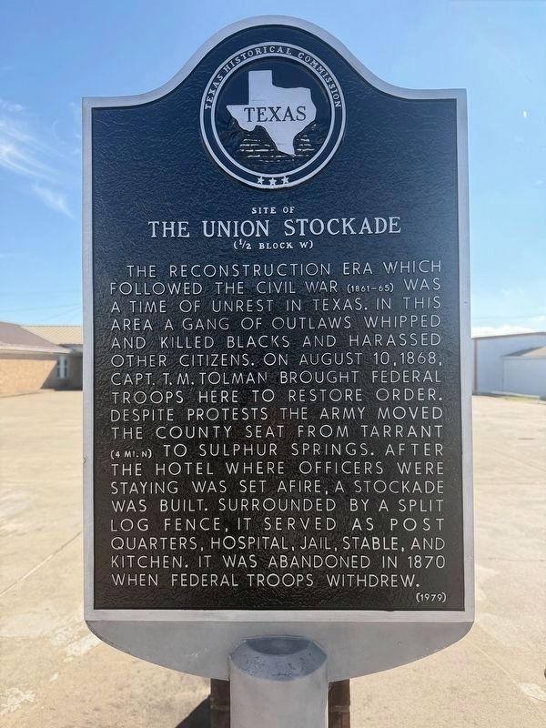
Site of the Union Stockade
(½ Block W)
Photographed by Gary Estep, November 25, 2025
1. Site of the Union Stockade Marker
Erected 1979 by Texas Historical Commission. (Marker Number 7332.)
Topics. This historical marker is listed in these topic lists: Forts and Castles • Military • War, US Civil. A significant historical date for this entry is August 10, 1868.
Location. 33° 8.294′ N, 95° 36.219′ W. Marker is in Sulphur Springs, Texas, in Hopkins County. It is on Connally Street east of J V Alley, on the right when traveling east. Touch for map. Marker is at or near this postal address: 303 Connally Street, Sulphur Springs TX 75482, United States of America.
this page online

Regionally, this marker is in the American South and in the Piney Woods. Globally, it is in North America, a Gulf of Mexico state, the Western Hemisphere, the Western World, and the Anglosphere. Historically, it finds itself in what was once New Spain, the Republic of Texas, one of the Confederate States of America, and the Antebellum South.
Other nearby markers. At least 8 other markers are within walking distance of this marker: First Christian Church (about 300 feet away, measured in a direct line); Sulphur Springs Loan and Building Association (about 500 feet away); City National Bank (about 600 feet away); Hopkins County Courthouse (approx. 0.2 miles away); Home County of Texas Confederate General W. H. King / Texas in the Civil War (approx. 0.2 miles away); First United Methodist Church of Sulphur Springs (approx. 0.2 miles away); Hopkins County Echo-Daily News-Telegram (approx. ¼ mile away); First Presbyterian Church of Sulphur Springs (approx. ¼ mile away). Touch for a list and map of all markers in Sulphur Springs.
Photographed by Mark Hilton, June 25, 2018
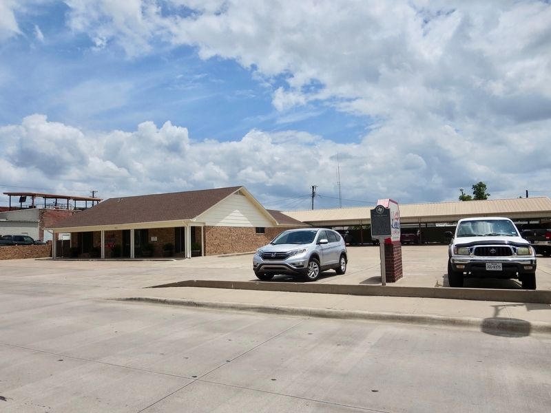
2. Site of the Union Stockade Marker
Photographed by Mark Hilton, June 25, 2018
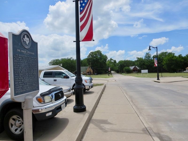
3. View west on Connally Street

Photographed by Mark Hilton, June 25, 2018
4. Site of the Union Stockade Marker
Credits. This page was last revised on December 19, 2025. It was originally submitted on July 5, 2018, by Mark Hilton of Montgomery, Alabama. This page has been viewed 918 times since then and 56 times this year. Photos: 1. submitted on December 16, 2025, by Gary Estep of Anna, Texas. 2, 3, 4. submitted on July 5, 2018, by Mark Hilton of Montgomery, Alabama.
