Near Mountainair in Torrance County, New Mexico — The American Mountains (Southwest)
Gran Quivíra Ruins
Salinas National Monument
| — | 1 Mile South | — |
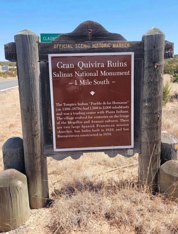
Photographed by James Hulse, April 10, 2025
1. Gran Quivíra Ruins Marker
Erected by New Mexico Historic Preservation Division. (Marker Number 684.)
Topics. This historical marker is listed in these topic lists: Indigenous Peoples and Communities • Religion & Religious Structures.
Location. 34° 15.813′ N, 106° 6.112′ W. Marker has been reported unreadable. Marker is near Mountainair, New Mexico, in Torrance County. It is on Quivira Flats Road (State Highway 55 at milepost 37), on the left when traveling west. Marker is located at the entrance to the Gran Quivíra unit of the Salinas Pueblo Missions National Monument, 26 miles south of Mountainair. Touch for map. Marker is at or near this postal address: 4030 Quivira Flats Road, Mountainair NM 87036, United States of America. Touch for directions.

Regionally,
this page online
Other nearby markers. At least 8 other markers are within walking distance of this location: Underground Housing / Hogares subterráneas (approx. half a mile away); A Trap for Runoff / Trampa de agua (approx. half a mile away); Exploring Las Humanas / Explorando Las Humanas (approx. 0.6 miles away); Las Misiones de los Pueblos de Salinas (approx. 0.6 miles away); One-seed juniper (approx. 0.6 miles away); Walkingstick cholla (approx. 0.6 miles away); Soaptree yucca (approx. 0.6 miles away); Power from the sun (approx. 0.6 miles away). Touch for a list and map of all markers in Mountainair.
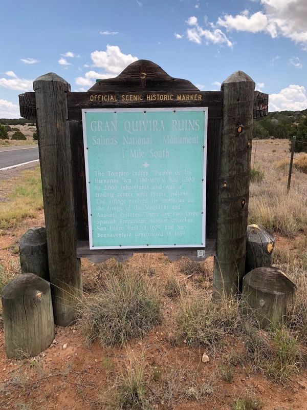
Photographed by Brian Anderson, May 22, 2018
2. Gran Quivíra Ruins Marker
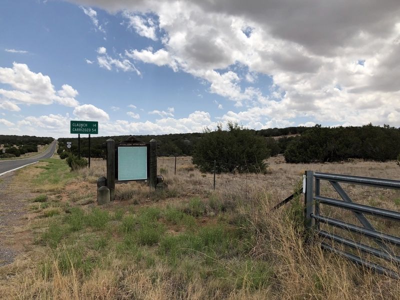
Photographed by Brian Anderson, May 22, 2018
3. Gran Quivíra Ruins Marker
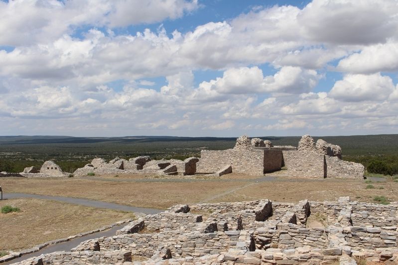
Photographed by Brian Anderson, May 22, 2018
4. Ruins of Mission San Buenaventura
Photographed by Brian Anderson, May 22, 2018
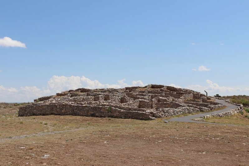
5. Gran Quivíra Pueblo Ruins
Credits. This page was last revised on June 9, 2025. It was originally submitted on July 5, 2018, by Brian Anderson of New Albany, Ohio. This page has been viewed 405 times since then and 15 times this year. Photos: 1. submitted on June 9, 2025, by James Hulse of Medina, Texas. 2, 3, 4, 5. submitted on July 5, 2018, by Brian Anderson of New Albany, Ohio. • Syd Whittle was the editor who published this page.
