Near Mountainair in Torrance County, New Mexico — The American Mountains (Southwest)
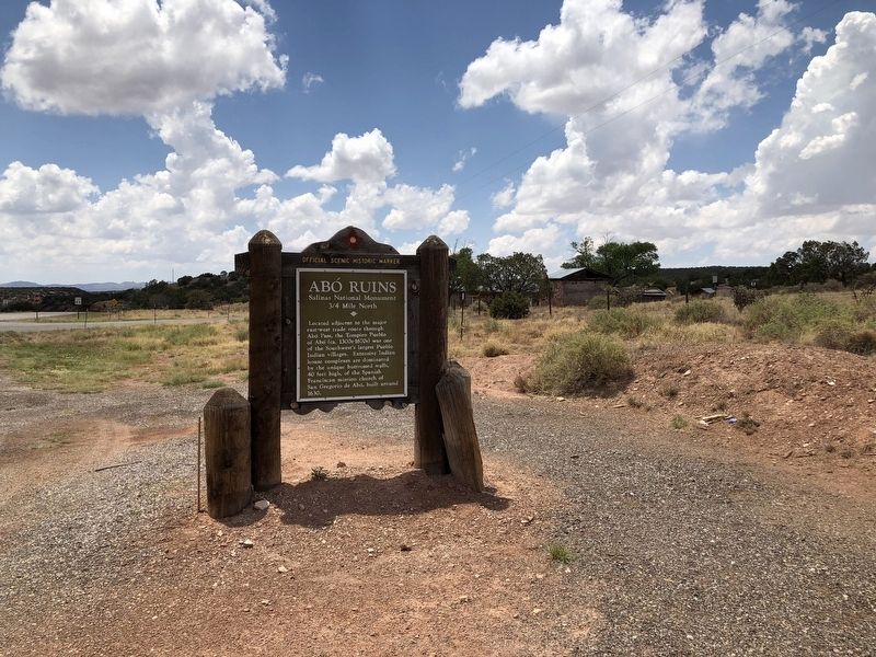
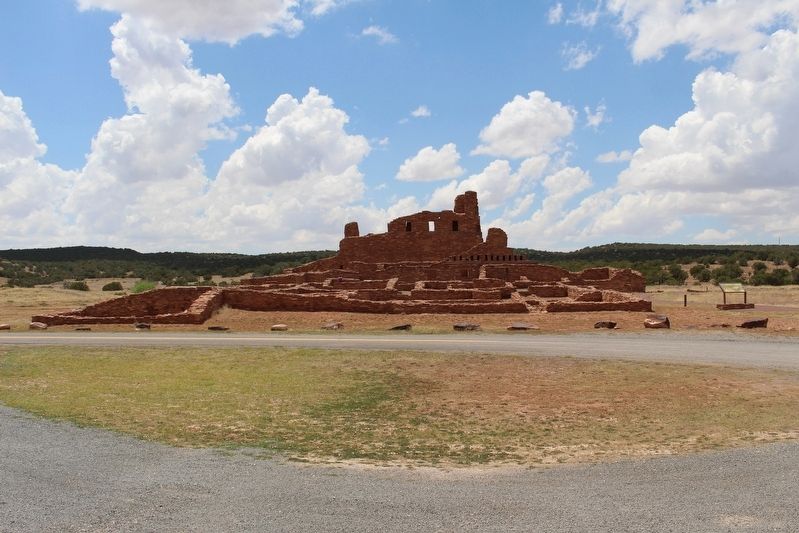
Abó Ruins
Salinas National Monument
— 3/4 Mile North —
Erected by New Mexico Historic Preservation Division. (Marker Number 76.)
Topics. This historical marker is listed in these topic lists: Churches & Religion • Native Americans.
Location. 34° 26.515′ N, 106° 22.421′ W. Marker is near Mountainair, New Mexico, in Torrance County. Marker is at the intersection of U.S. 60 and New Mexico Highway 513, on the right when traveling west on U.S. 60. Touch for map. Marker is in this post office area: Mountainair NM 87036, United States of America. Touch for directions.
Other nearby markers. At least 8 other markers are within walking distance of this marker. Plazuela: 1815-30 (approx. half a mile away); Village of Abó/Pueblo de Abó (approx. 0.6 miles away); A Grander Church/Una iglesia más grande (approx. 0.6 miles away); People at Work/Manos a la obra (approx. 0.6 miles away); Abo Ruins (approx. 0.6 miles away); Prayers and Hymns/Rezos e himnos (approx. 0.6 miles away); New Songs/Cantos Nuevos (approx. 0.6 miles away); A Kiva Here?/¿Una kiva aquí? (approx. 0.6 miles away).
Credits. This page was last revised on July 6, 2018. It was originally submitted on July 5, 2018, by Brian Anderson of Humble, Texas. This page has been viewed 198 times since then and 12 times this year. Photos: 1, 2, 3. submitted on July 5, 2018, by Brian Anderson of Humble, Texas. • Syd Whittle was the editor who published this page.


