Chatfield in Crawford County, Ohio — The American Midwest (Great Lakes)
Village of Chatfield
Photographed by Alex Krempasky, April 18, 2023
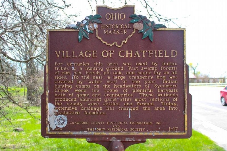
1. Village of Chatfield Marker
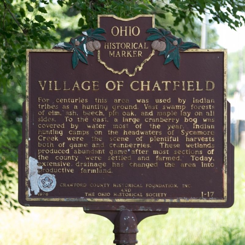
For centuries this area was used by Indian tribes as a hunting ground. Vast swamp forests of elm, ash, beech, pin oak, and maple lay on all sides. To the east, a large cranberry bog was covered by water most of the year. Indian hunting camps on the headwaters of Sycamore Creek were the scene of plentiful harvests both of game and cranberries. These wetlands produced abundant game after most sections of the county were settled and farmed. Today, extensive drainage has changed the area into productive farmland.
Erected 1976 by Crawford County Historical Foundation, Inc. and The Ohio Historical Society. (Marker Number 1-17.)
Topics and series. This historical marker is listed in these topic lists: Horticulture & Forestry • Indigenous Peoples and Communities • Settlements & Settlers. In addition, it is included in the Ohio Historical Society / The Ohio History Connection series list.
Location. 40° 57.134′ N, 82° 56.574′ W. Marker is in Chatfield, Ohio, in Crawford County. It is on Sandusky Avenue (Ohio Route 4) 0.2 miles north of Chatfield Center
this page online

Regionally, this marker is in the Till Plains. It is also in the American Midwest and in the Corn Belt. Globally, it is in North America, the Western Hemisphere, the Western World, and the Anglosphere. Historically, it finds itself in what was once the Viceroyalty of New France, the Haudenosaunee (Iroquois) Confederacy, the territory of the Mississippian Culture, and the Northwest Territory.
Other nearby markers. At least 8 other markers are within 5 miles of this marker, measured as the crow flies: Site of Salem Reformed Church (approx. 3.3 miles away); Class of 1960 (approx. 4.6 miles away); New Washington (approx. 4.7 miles away); Veterans Memorial (approx. 4.7 miles away); Brokensword Veterans Memorial (approx. 4.7 miles away); The Village of New Washington / The New Washington Band (approx. 4.7 miles away); Cross Memorial (approx. 4.7 miles away); a different marker also named Cross Memorial (approx. 4.7 miles away).
Photographed by J. J. Prats, July 1, 2018
2. Village of Chatfield Marker
Photographed by J. J. Prats, July 1, 2018
3. Village of Chatfield Marker
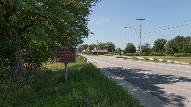
This view is looking south.
Photographed by J. J. Prats, July 1, 2018
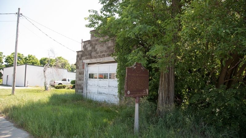
4. Village of Chatfield Marker
Credits. This page was last revised on May 26, 2023. It was originally submitted on July 5, 2018, by J. J. Prats of Powell, Ohio. This page has been viewed 1,796 times since then and 156 times this year. Photos: 1. submitted on May 13, 2023, by Alex Krempasky of Obetz, Ohio. 2, 3, 4. submitted on July 5, 2018, by J. J. Prats of Powell, Ohio.
