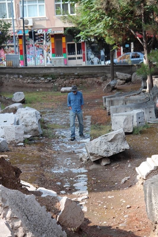
Ragıp Bey in Akhisar, Manisa, Turkey — West Asia or Southeast Europe
The Roman Columned Street
Sütunlu Roma Caddesi
English Text:
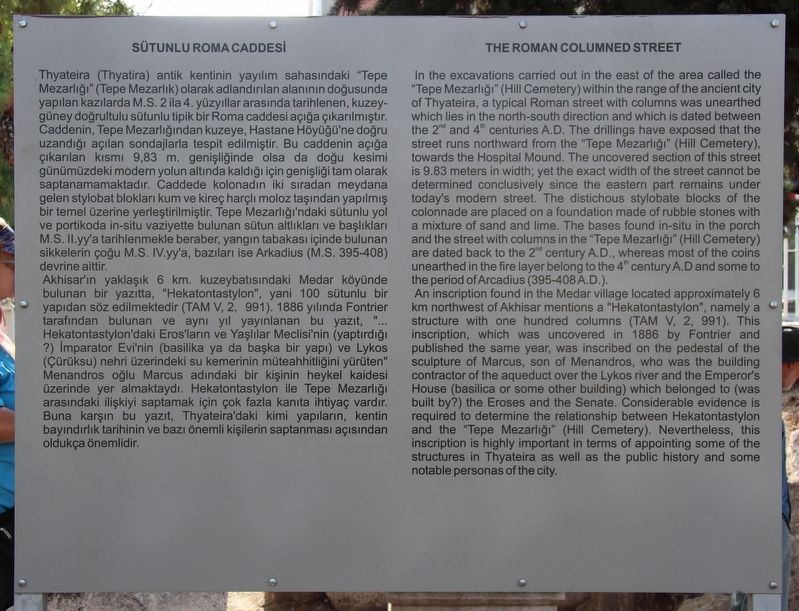
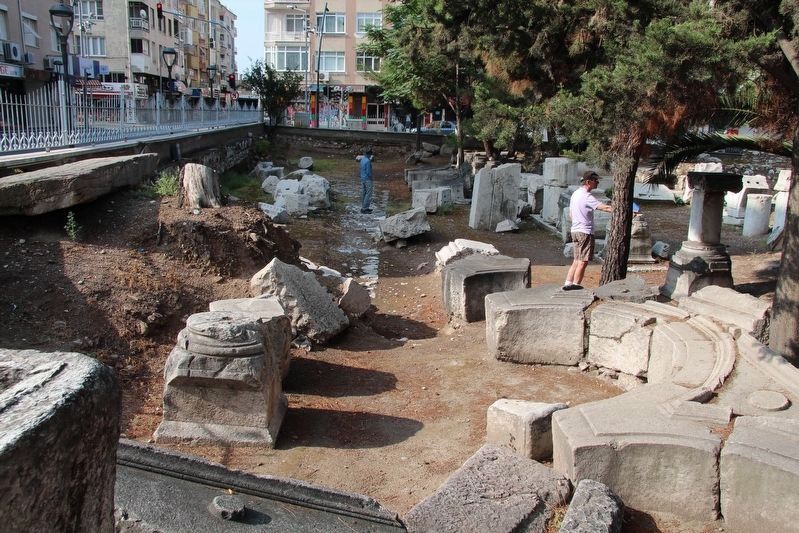
In the excavations carried out in the east of the area called the "Tepe Mezarligi" (Hill Cemetery) within the range of the ancient city of Thyateira, a typical Roman street with columns was unearthed which lies in the north-south direction and which is dated between the 2nd and 4th centuries A.D. The drillings have exposed that the street runs northward from the "Tepe Mezarligi" (Hill Cemetery), towards the Hospital Mound. The uncovered section of this street is 9.83 meters in width: yet the exact width of the street cannot be determined conclusively since the eastern part remains under today's modern street. The distichous stylobate blocks of the colonnade are placed on a foundation made of rubble stones with a mixture of sand and lime. The bases found in-situ in the porch and the street with columns in the "Tepe Mezarligi" (Hill Cemetery) are dated back to the 2nd century A.D., whereas most of the coins unearthed in the fire layer belong to the 4th century A.D. and some to the period of Arcadius (395-408 A.D.).
An inscription found in the Medar village located approximately 6 kilometers northwest of Akhisar mentions a "Hekatontastylon," namely a structure with one hundred columns (TAM V, 2, 991). This inscription, which was uncovered in 1886 by Fontrier and published the same year, was inscribed on the pedestal of the sculpture of Marcus, son of Menandros, who was the building contractor of the aqueduct over the Lykos river and the Emperor's House (basilica or some other building) which belonged to (was built by?) the Eroses and the Senate. Considerable evidence is required to determine the relationship between Hekatontastylon and the "Tepe Mezarligi" (Hill Cemetery). Nevertheless, this inscription is highly important in terms of appointing some of the structures in Thyateira as well as the public history and some notable personas of the city.
-
Thyateira (Thyatira) antik kentinin yayılım sahasındaki "Tepe Mezarlığı" (Tepe Mezarlık) olarak adlandırılan alanının doğusunda yapılan kazılarda M.S. 2 ila 4. yüzyıllar arasında tarihlenen, kuzey-güney doğrultulu sütunlu tipik bir Roma caddesi açığa çıkarılmıştır. Caddenin, Tepe Mezarlığından kuzeye, Hastane Höyüğü'ne doğru uzandığı açılan sondajlarla tespit edilmiştir. Bu caddenin açığa çıkarılan
kısmı 9,83 m. genişliğinde olsa da doğu kesimi günümüzdeki modern yolun altında kaldığı için genişliği tam olarak saptanamamaktadır. Caddede kolonadın iki sıradan meydana gelen stylobat blokları kum ve kireç harçlı moloz taşından yapılmış bir temel üzerine yerleştirilmiştir. Tepe Mezarlığı'ndaki sütunlu yol ve portikoda in-situ vaziyette bulunan sütun altlıkları ve başlıkları M.S. ll.yy'a tarihlenmekle beraber, yangın tabakası içinde bulunan sikkelerin çoğu M.S. IV.yy'a, bazıları ise Arkadius (M.S. 395-408) devrine aittir. Akhisar'ın yaklaşık 6 km. kuzeybatısındaki Medar köyünde bulunan bir yazıtta, "Hekatontastylon", yani 100 sütunlu bir yapıdan söz edilmektedir (TAM V, 2, 991). 1886 yılında Fontrier tarafından bulunan ve aynı yıl yayınlanan bu yazıt, "... Hekatontastylon'daki Eros'ların ve Yaşlılar Meclisi'nin (yaptırdığı ?) imparator Evi'nin (basilika ya da başka bir yapı) ve Lykos (Çürüksu) nehri üzerindeki su kemerinin müteahhitliğini yürüten" Menandros oğlu Marcus adındaki bir kişinin heykel kaidesi üzerinde yer almaktaydı. Hekatontastylon ile Tepe Mezarlığı
Photographed By Dale K. Benington, June 17, 2018
3. The Roman Columned Street Marker
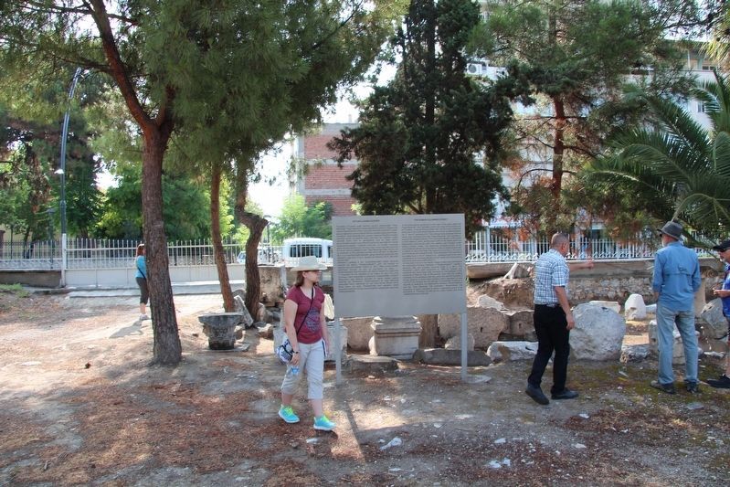
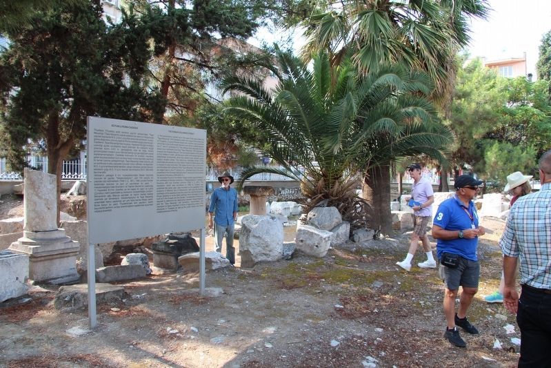
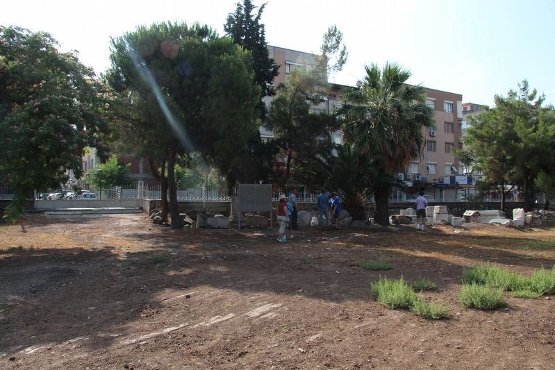
A more distant view of the marker, with the nearby residential buildings in the background. The ruins of the Roman Columned Street are to the right of the marker, behind the nearby ruins and in front of the park boundary fence.
Topics. This historical marker is listed in these topic lists: Parks & Recreational Areas • Roads & Vehicles • Settlements & Settlers.
Location. 38° 55.205′ N, 27° 50.189′ E. Marker is in Akhisar, Manisa. It is in Ragıp Bey. Marker can be reached from Şehit Polis Cemal Ilgaz Caddesi just north of İsmail Bahri Bey Cd., on the right when traveling north. This marker is situated in the Thyatira archaeological park, which is in a downtown business/residential neighborhood. Touch for map. Marker is in this post office area: Akhisar, Manisa 45200, Turkey. Touch for directions.
Other nearby markers. At least 2 other markers are within walking distance of this marker. Apsidal Building (within shouting distance of this marker); Ancient City of Thyateira (Thyatira) (within shouting distance of this marker).
Credits. This page was last revised on February 13, 2023. It was originally submitted on July 6, 2018, by Dale K. Benington of Toledo, Ohio. This page has been viewed 128 times since then and 26 times this year. Photos: 1, 2, 3, 4, 5, 6. submitted on July 6, 2018, by Dale K. Benington of Toledo, Ohio.
