Peach Springs in Mohave County, Arizona — The American Mountains (Southwest)
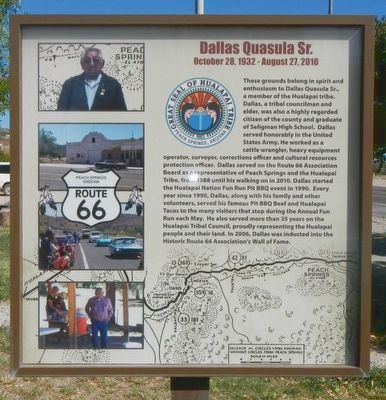
Dallas Quasula Sr.
October 28, 1932 - August 27, 2010
Photographed by Barry Swackhamer, October 21, 2016
1. Dallas Quasula Sr. Marker
Erected by Hualapai Nation.
Topics and series. This historical marker is listed in this topic list:
this page online
Location. 35° 31.763′ N, 113° 25.5′ W. Marker is in Peach Springs, Arizona, in Mohave County. It is at the intersection of Historic Route 66 (Arizona Route 66) and Diamond Creek Road, on the right when traveling west on Historic Route 66. Touch for map. Marker is at or near this postal address: 900 Arizona 66, Peach Springs AZ 86434, United States of America. Touch for directions.

Regionally, this marker is in the Colorado River Valley. It is also in the American Southwest. Globally, it is in North America, the Western Hemisphere, the Western World, and the Anglosphere. Historically, it finds itself in what was once New Spain and also Mexico’s Alta California.
Other nearby markers. At least one other marker is within walking distance of this marker: Historic Peach Springs Trading Post (about 800 feet away).
Another marker is no longer nearby. Historic John Osterman Gas Station (was about 300 feet away, measured in a direct line but has been confirmed missing).
More about this marker.
Photographed by Barry Swackhamer, October 21, 2016
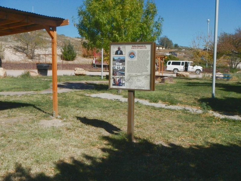
2. Dallas Quasula Sr. Marker
Credits. This page was last revised on July 9, 2018. It was originally submitted on October 31, 2016, by Barry Swackhamer of Brentwood, California. This page has been viewed 674 times since then and 24 times this year. Last updated on July 9, 2018, by Craig Baker of Sylmar, California. Photos: 1, 2. submitted on October 31, 2016, by Barry Swackhamer of Brentwood, California. • Syd Whittle was the editor who published this page.
