
Roswell in Chaves County, New Mexico — The American Mountains (Southwest)
Roswell
Population 50,000 - Elevation 3,612
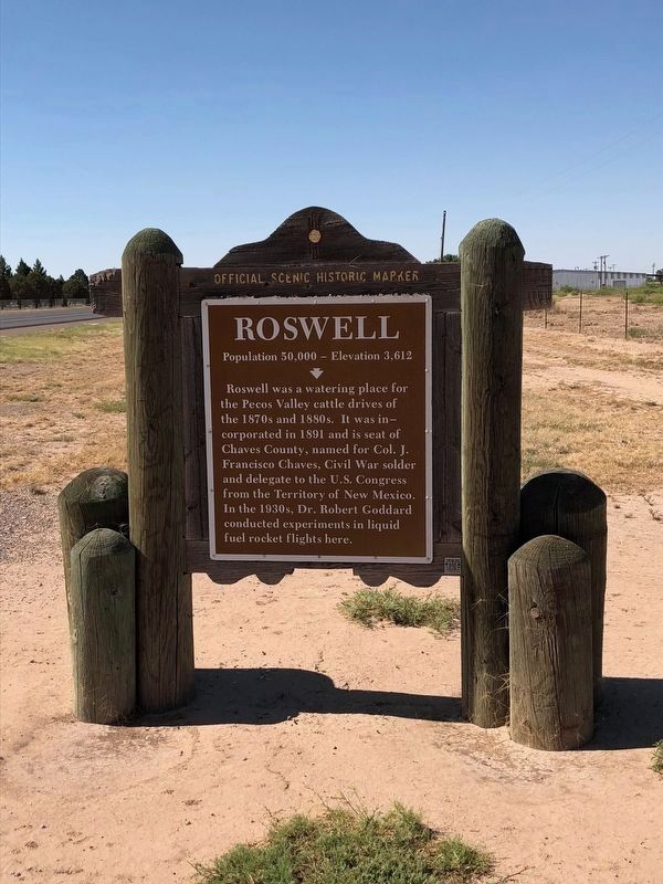
Photographed by Brian Anderson, May 25, 2018
1. Roswell Marker
Erected by New Mexico Historic Preservation Division. (Marker Number 192.)
Topics. This historical marker is listed in these topic lists: Science & Medicine • Settlements & Settlers. A significant historical year for this entry is 1891.
Location. 33° 21.319′ N, 104° 30.619′ W. Marker is in Roswell, New Mexico, in Chaves County. It is on SE Main Street (U.S. 285) 0.4 miles north of East Brasher Road, on the right when traveling north. Touch for map. Marker is in this post office area: Roswell NM 88203, United States of America. Touch for directions.

Regionally, this marker is in New Mexico’s Pecos Valley. It is also in the American Southwest and on the Southern Plains. Globally, it is in North America, the Western Hemisphere, the Western World, and
this page online
Other nearby markers. At least 8 other markers are within 3 miles of this marker, measured as the crow flies: Walker Air Force Base (approx. 1.7 miles away); Home of the James Phelps White Family (approx. 2.9 miles away); New Mexico Navy Veterans Monument (approx. 2.9 miles away); Roswell’s First General Store and Post Office (approx. 3 miles away); Patrick Floyd Jarvis Garrett (approx. 3 miles away); Chaves County Court House (approx. 3 miles away); Justice in the Wild West (approx. 3 miles away); Chaves County Veterans War Memorial (approx. 3 miles away). Touch for a list and map of all markers in Roswell.
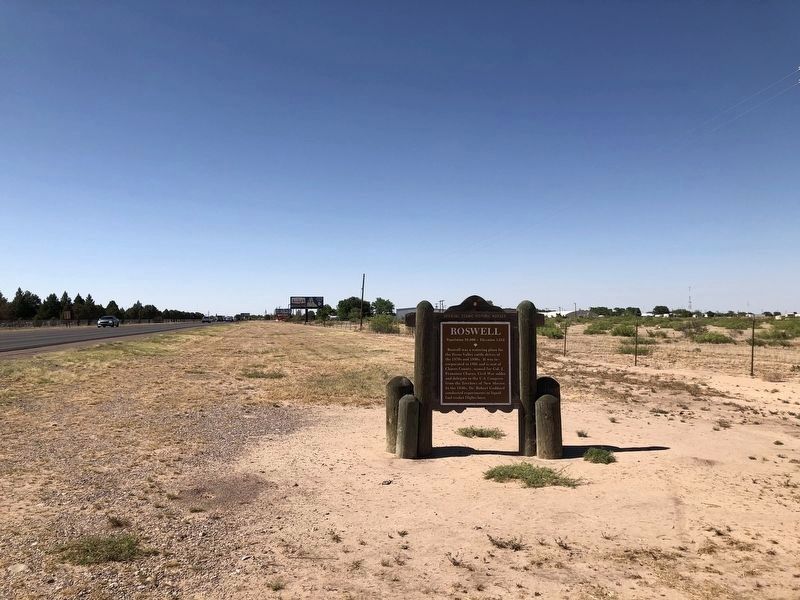
Photographed by Brian Anderson, May 25, 2018
2. Roswell Marker - Wide View
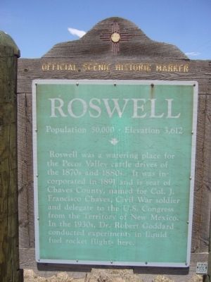
Photographed by Bill Kirchner, May 3, 2012
3. Roswell Marker - old version
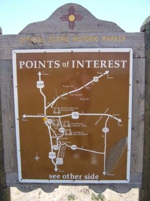
Photographed by Bill Kirchner, May 3, 2012
4. Back of Roswell Marker
Points of Interest
New Mexico's Historic Markers typically have a map on the back side showing the location of other OSHM's. This is an excellent source of information when exploring for other Historical Markers and locations.
New Mexico's Historic Markers typically have a map on the back side showing the location of other OSHM's. This is an excellent source of information when exploring for other Historical Markers and locations.

Photographed by Bill Kirchner, May 3, 2012
5. Roswell Marker - Wide View, old version
View north on US-285
Credits. This page was last revised on July 11, 2018. It was originally submitted on June 8, 2012, by Bill Kirchner of Tucson, Arizona. This page has been viewed 1,394 times since then and 56 times this year. Last updated on July 9, 2018, by Brian Anderson of New Albany, Ohio. Photos: 1, 2. submitted on July 9, 2018, by Brian Anderson of New Albany, Ohio. 3, 4, 5. submitted on June 8, 2012, by Bill Kirchner of Tucson, Arizona. • Syd Whittle was the editor who published this page.
