Custer in Custer County, South Dakota — The American Midwest (Upper Plains)
Frontier Protection
Photographed by Cosmos Mariner, July 9, 2018
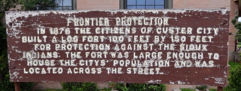
1. Frontier Protection Marker
built a log fort 100 feet by 150 feet
for protection against the Sioux
Indians. The fort was large enough to
house the City’s population and was
located across the street.
Topics. This historical marker is listed in these topic lists: Forts and Castles • Settlements & Settlers • Wars, US Indian. A significant historical year for this entry is 1876.
Location. 43° 46.039′ N, 103° 35.862′ W. Marker is in Custer, South Dakota, in Custer County. It is on North 7th Street north of Mount Rushmore Road (U.S. 16A), on the left when traveling north. Marker is located on the Custer U.S. Post Office grounds, near the northeast corner of the building, facing North 7th Street. Touch for map. Marker is at or near this postal address: 643 Mount Rushmore Road, Custer SD 57730, United States of America. Touch for directions.

Regionally, this marker is in West River and in Greater Rapid City. It is also in the American Black Hills, in the Lewis & Clark Corridor, on the prairies, and on the Northern Plains. Globally, it is in North America, the Western Hemisphere, the Western World,
this page online
Other nearby markers. At least 8 other markers are within walking distance of this marker: First National Bank of Dakota Territory (about 500 feet away, measured in a direct line); Historic Site (about 500 feet away); Big Rock Park & Pageant Hill (about 600 feet away); General George A. Custer (about 600 feet away); Welcome to the Harbach Trailhead (about 700 feet away); Chief Sitting Bull (approx. 0.2 miles away); George Armstrong Custer (approx. 0.2 miles away); a different marker also named Big Rock Park & Pageant Hill (approx. 0.2 miles away). Touch for a list and map of all markers in Custer.
Also see . . . Custer, South Dakota History. After increasing encroachment by Americans and violent confrontations, the U.S. government forced the Sioux to cede much of the Black Hills in 1877, and opened the land for individual purchase and settlement. Before that, in 1875, trespassing gold-boomers named their settlement Stonewall (after the Confederate general, Stonewall Jackson), but it was later renamed for
Photographed by Cosmos Mariner, July 9, 2018
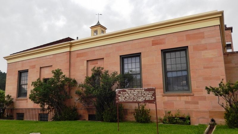
2. Frontier Protection Marker (wide view; east side of Custer Post Office behind marker)
Photographed by Cosmos Mariner, July 9, 2018
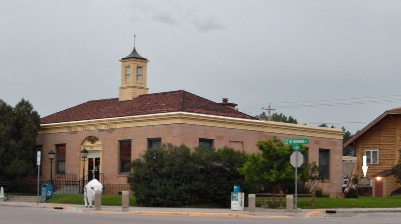
3. U.S. Post Office, Custer, South Dakota (southeast corner view; marker visible far right)
Credits. This page was last revised on July 12, 2018. It was originally submitted on July 10, 2018, by Cosmos Mariner of Cape Canaveral, Florida. This page has been viewed 427 times since then and 20 times this year. Photos: 1, 2, 3. submitted on July 10, 2018, by Cosmos Mariner of Cape Canaveral, Florida. • Andrew Ruppenstein was the editor who published this page.
