Springfield in Baca County, Colorado — The American Mountains (Southwest)
Baca County Trails
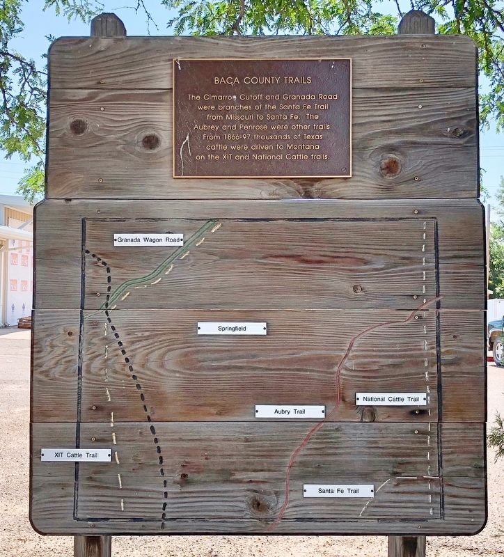
The Cimarron Cutoff and Granada Road were branches of the Santa Fe Trail from Missouri to Santa Fe. The Aubrey and Penrose were other trails. From 1866-97 thousands of Texas cattle were driven to Montana on the XIT and National Cattle trails.
Topics and series. This historical marker is listed in these topic lists: Animals • Roads & Vehicles. In addition, it is included in the Santa Fe Trail series list.
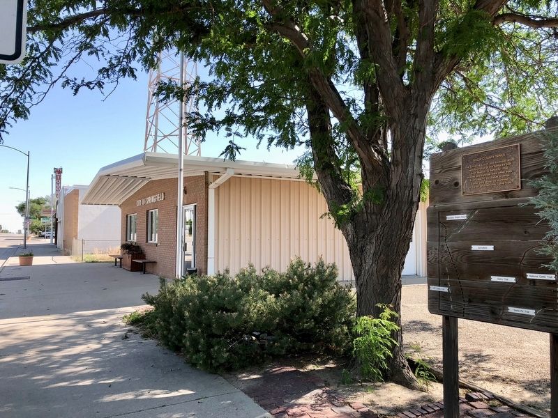
Location. 37° 24.384′ N, 102° 36.983′ W. Marker is in Springfield, Colorado, in Baca County. Marker is on Main Street (U.S. 287) north of East 8th Avenue, on the right when traveling north. Located next to the Springfield Town Hall and police department. Touch for map. Marker is at or near this postal address: 748 Main Street, Springfield CO 81073, United States of America. Touch for directions.
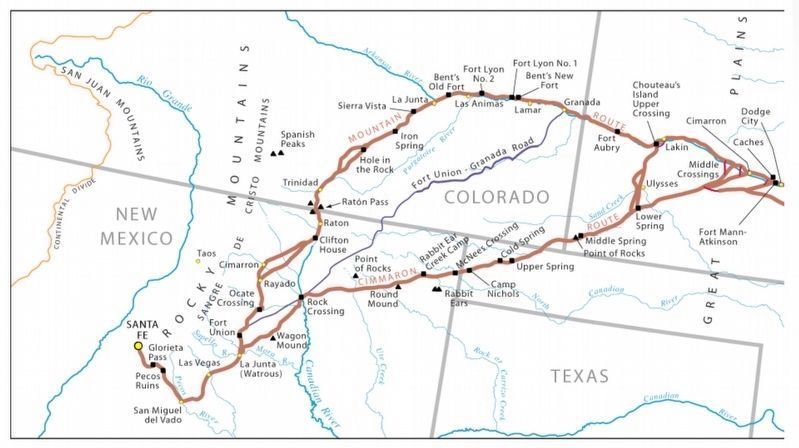
Regarding Baca County Trails. Both the Mountain and Cimarron Routes of the Santa Fe Trail crossed the southeastern corner of Colorado, though the Cimarron Route traversed approximately only 14 miles of Baca County.
The Santa Fe Trail is significant to the history of what became the State of Colorado. When legal trade began in 1821, over half of the land now comprising Colorado was under Mexican ownership; the other half was unorganized territory. Southeastern Colorado’s dramatic landscape inspired the name for one of the main routes of the trail; the Mountain Route became especially important as the railroads moved into the state.
Also see . . . A History of the Santa Fe Trail. Santa Fe Trail Association website entry (Submitted on July 12, 2018, by Mark Hilton of Montgomery, Alabama.)
Credits. This page was last revised on December 12, 2023. It was originally submitted on July 12, 2018, by Mark Hilton of Montgomery, Alabama. This page has been viewed 417 times since then and 27 times this year. Photos: 1, 2, 3. submitted on July 12, 2018, by Mark Hilton of Montgomery, Alabama.


