Knights Ferry in Stanislaus County, California — The American West (Pacific Coastal)
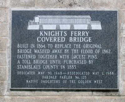
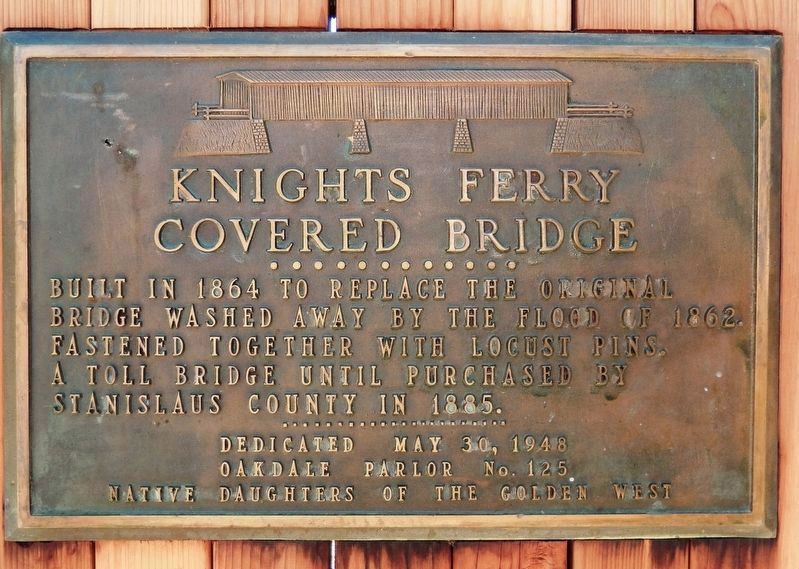
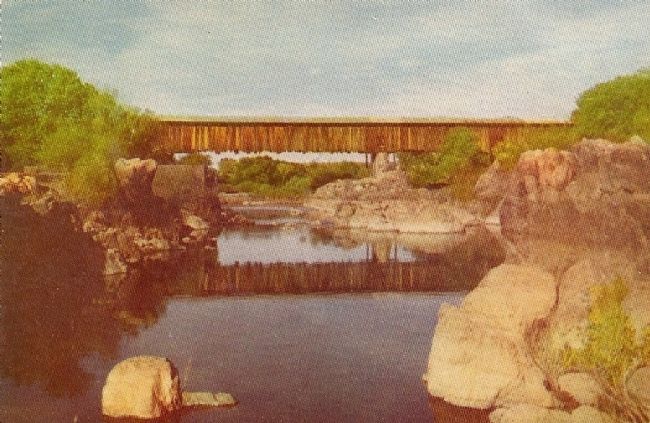
Knights Ferry Covered Bridge
Erected 1988 by Oakdale Parlor No.125, Native Daughters of the Golden West.
Topics and series. This historical marker is listed in these topic lists: Bridges & Viaducts • Roads & Vehicles • Settlements & Settlers. In addition, it is included in the Covered Bridges, and the Native Sons/Daughters of the Golden West series lists. A significant historical date for this entry is May 30, 1831.
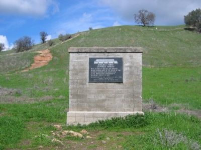
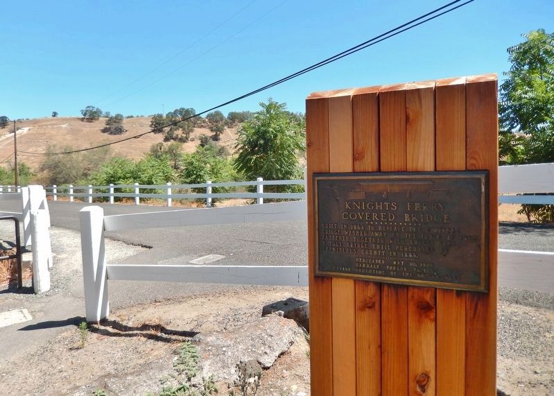
Location. 37° 49.229′ N, 120° 39.866′ W. Marker is in Knights Ferry, California, in Stanislaus County. Marker can be reached from Knights Ferry Road. Marker is located at the north end of the covered bridge. This section of Knights Ferry Road and the bridge are open to foot traffic only. Touch for map. Marker is in this post office area: Oakdale CA 95361, United States of America. Touch for directions.
Other nearby markers. At least 8 other markers are within walking distance of this marker. Mill House (a few steps from this marker); Knight's Ferry Bridge (within shouting distance of this marker); Tulloch’s Mill (within shouting distance of this marker); Power Generation (within shouting distance of this marker); The Ancient and Honorable Order of E Clampus Vitus (approx. 0.3 miles away); Knights Ferry No. 2 (approx. 0.4 miles away); Knights Ferry - The Store (approx. 0.4 miles away); Miller's Saloon (approx. 0.4 miles away). Touch for a list and map of all markers in Knights Ferry.
Also see . . . Malakoff: Knights Ferry. (Submitted on October 2, 2008, by Syd Whittle of Mesa, Arizona.)
Photographed By Syd Whittle, February 23, 2007
9. Covered Bridge
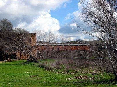
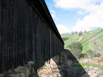
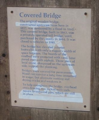
The original wooden bridge, constructed upstream from here in 1857, was destroyed by a flood in 1862. This covered bridge, built in 1863 was a privately operated toll bridge, until purchased by the county in 1884. It was closed to vehicles in 1981.
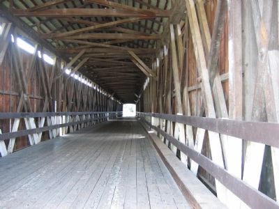
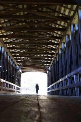
The bridge has elevated interior footwalks with only a wagon's width of space between. The boards of the roadbed were protected with sand, later paved over with asphalt. Three piers of local stone, sharpened on the upstream side support the planking.
Bridges were covered for permanence. Wood can survive a long time immersed in water, but alternate wetting and drying cracks and weakens it.
To help strenghten the bridge, overhead cross-bracing was locked with inch-square locustwood pins, which are still in place.
Credits. This page was last revised on November 8, 2020. It was originally submitted on October 2, 2008, by Syd Whittle of Mesa, Arizona. This page has been viewed 2,863 times since then and 18 times this year. Photos: 1. submitted on October 2, 2008, by Syd Whittle of Mesa, Arizona. 2. submitted on March 9, 2020, by Cosmos Mariner of Cape Canaveral, Florida. 3. submitted on October 2, 2008, by Syd Whittle of Mesa, Arizona. 4. submitted on March 9, 2020, by Cosmos Mariner of Cape Canaveral, Florida. 5, 6, 7. submitted on October 2, 2008, by Syd Whittle of Mesa, Arizona. 8. submitted on June 21, 2014, by Mia Kostouros of Los Banos, California. 9, 10. submitted on October 2, 2008, by Syd Whittle of Mesa, Arizona.
