
Forest Hills in Northwest Washington in Washington, District of Columbia — The American Northeast (Mid-Atlantic)
Rock Creek Park
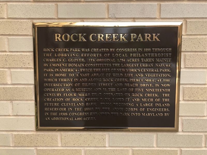
Topics. This historical marker is listed in these topic lists: Industry & Commerce • Parks & Recreational Areas. A significant historical year for this entry is 1890.
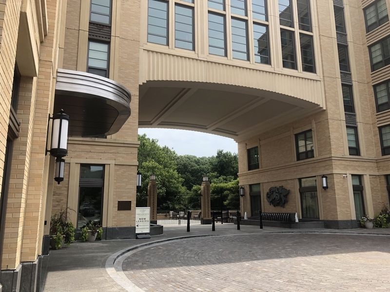
Location. 38° 56.815′ N, 77° 3.882′ W. Marker is in Northwest Washington in Washington, District of Columbia. It is in Forest Hills. It is at the intersection of Connecticut Avenue
this page online

Regionally, this marker is in the Washington Metropolitan Area. It is also in the American Northeast, in the Upper South, in the Mid-Atlantic, in the Tidewater, and in the Chesapeake Bay Region. Globally, it is in North America, the Western Hemisphere, the Western World, and the Anglosphere.
Other nearby markers. At least 8 other markers are within walking distance of this marker: Site of the National Bureau of Standards (about 600 feet away, measured in a direct line); The Ponce de Leon Apartment Building (approx. 0.2 miles away); "Music of the Spheres" (approx. 0.2 miles away); Soapstone Valley (approx. 0.2 miles away); The Hon. Walter Gresham Andrews (approx. 0.3 miles away); Replica of Greek Statue (approx. 0.3 miles away); Science Has Its Traditions As Well As Its Frontiers (approx. 0.4 miles away); First Atomic Clock, 1948 (approx. 0.4 miles away). Touch for a list and map
Credits. This page was last revised on January 30, 2023. It was originally submitted on July 15, 2018, by Devry Becker Jones of Washington, District of Columbia. This page has been viewed 453 times since then and 29 times this year. Photos: 1, 2. submitted on July 15, 2018, by Devry Becker Jones of Washington, District of Columbia. • Andrew Ruppenstein was the editor who published this page.
