Near Canute in Washita County, Oklahoma — The American South (West South Central)
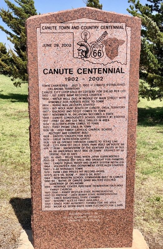
Canute Centennial
1902 - 2002
— Canute Town and County Centennial —
Town Chartered July 2, 1902 - Canute established
Oklahoma territory
Canute city lots sold by lottery for $10.00 per lot
1902 - 1st State Bank receives charter
1904 - Water well dug in in middle of main street with
windmill for horses rode to town
1904 - Rural mail delivery started
1905 - Big Wolf hunt south of Canute, Okla. territory
1907 - Railroad and depot came to town
1907 - November 16th, Oklahoma becomes a state
1908 - Canute Consolidated School District #1 started
1917 - First oil & gas well drilled in area
1924 - Electrification comes to town
1925 - First phone lines in town
1926-28 - Holy Family Catholic Church school,
rectory and convent built
1928 - Grotto/Crucifixion built
1929 - Great depression starts
1931 - US 66 opened through Canute to Texas line
1936 - City Park 1st Okla. state park built on Route 66
Apr 7, 1938 - Snowstorm of the Century filled in old
66 RR underpass west side of town. Stopped Rt 66
traffic foe 10 days
Aug 14, 1945 - Bells rang when Japan surrendered
1955 to 1958 - serious dry spell and drought for farmers
1962 - Canute public water and sewer system installed
1964 - Volunteer fire department officially started
1967 - I-40 bypasses town
1979 - Farm land prices hit record highs
1970-80's Oil Boom - 1980's Oil bust
1984 - New modern school gymnasium built in Canute
1990-94 - Native of Canute David Walters elected
Governor of Oklahoma
1994 - Heritage Center purchase/renovation (Old Holy
Family Church)
1992-2000 - Randy Beutler State representative
1992- to present - Jack Bonny State representative
1997 - Girls Basketball state champs
1997 - Internet access first available
2001 - Space port authority formed for the area
2002 - Major ice storm shuts down electricity for 5 days
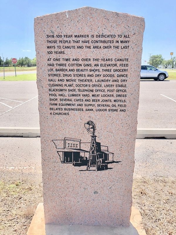
Rear of marker
This 100 year marker is dedicated to all those people that have contributed in many ways to Canute and the area over the last 100 years.
At one time and over the years Canute had three cotton gins, and elevator, feed lot, barber and beauty shops, three grocery stores, drug stores and dry goods, dance hall and movie theatre, laundry and dry cleaning plant, doctor's office, livery stable, blacksmith shop, telephone office, post office, pool hall, lumber yard, meat locker, dress shop, several cafes and beer joints, motels, farm equipment and supply, several oil field related businesses, bank, liquor store and 4 churches.
Erected 2002 by the City and County of Canute.
Topics and series. This historical marker is listed in these topic lists: Notable Events • Settlements & Settlers. In addition, it is included in the U.S. Route 66 series list. A significant historical date for this entry is July 2, 1902.
Location. 35° 25.304′ N, 99° 16.288′ W. Marker is near Canute, Oklahoma, in Washita County. Marker is on Old U.S. 66, 0.3 miles east of County Road N2080, in the median. Located near the Holy Family Cemetery. Touch for map. Marker is in this post office area: Canute OK 73626, United States of America. Touch for directions.
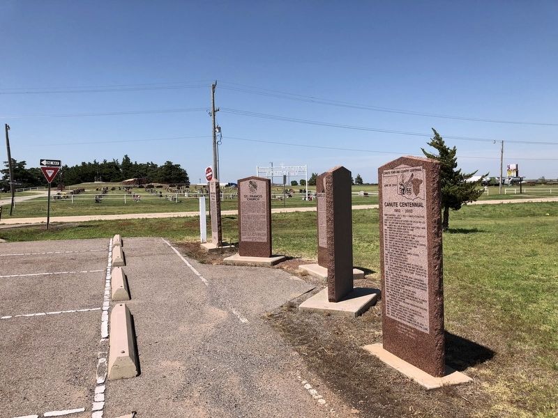
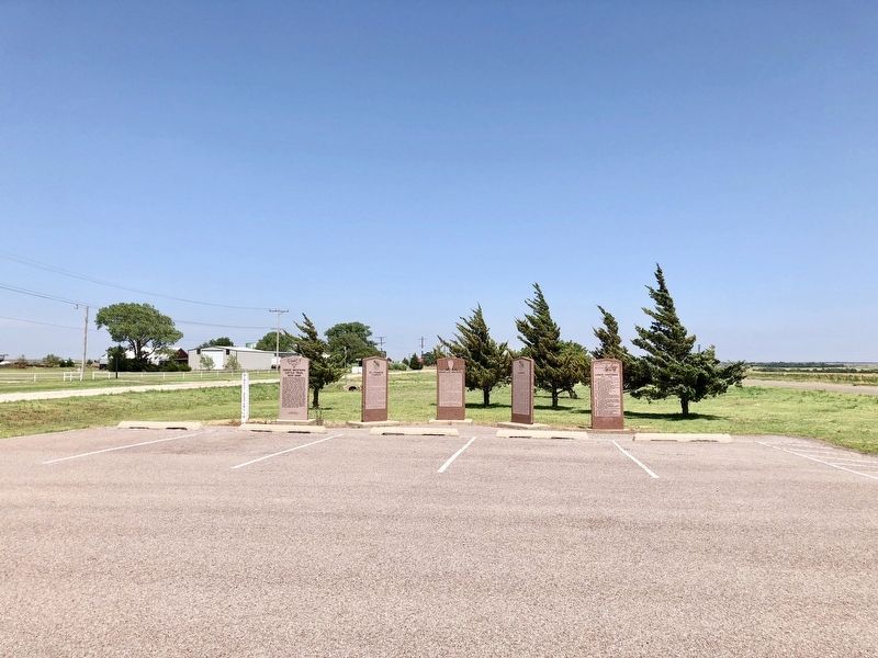
Other nearby markers. At least 8 other markers are within 10 miles of this marker, measured as the crow flies. Canute (here, next to this marker); David Lee Walters (here, next to this marker); St. Francis Church (here, next to this marker); Great Western Cattle Trail (a few steps from this marker); Commotion (approx. 9.3 miles away); 1950's Model Train Replica of Elk City's Downtown District (approx. 9.3 miles away); The Anadarko Basin (approx. 9.3 miles away); Rock Bluff School (approx. 9.3 miles away). Touch for a list and map of all markers in Canute.
Related marker. Click here for another marker that is related to this marker.
Credits. This page was last revised on July 15, 2018. It was originally submitted on July 15, 2018, by Mark Hilton of Montgomery, Alabama. This page has been viewed 202 times since then and 16 times this year. Photos: 1, 2, 3, 4. submitted on July 15, 2018, by Mark Hilton of Montgomery, Alabama.


