Near Nageezi in San Juan County, New Mexico — The American Mountains (Southwest)
Fajada Butte
Photographed by Tom Bosse, May 22, 2018
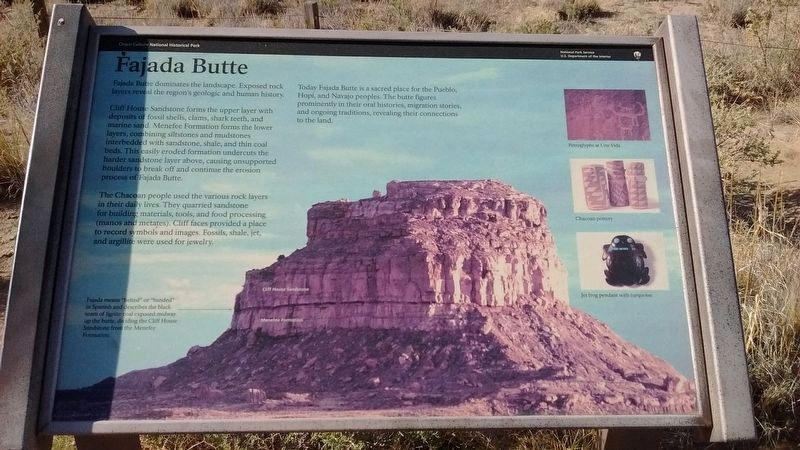
1. Fajada Butte Marker
Photo Caption:
Fajada means "belted" or banded" in Spanish and describes the black seam of lignite cola exposed midway up the butte, dividing the Cliff House Sandstone from the Menefee Formation.
Fajada means "belted" or banded" in Spanish and describes the black seam of lignite cola exposed midway up the butte, dividing the Cliff House Sandstone from the Menefee Formation.
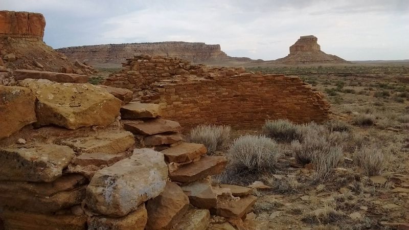
Fajada Butte dominates the landscape. Exposed rock layers reveal the regions geologic and human history.
Cliff House Sandstone forms the upper layer with deposits of fossil shells, clams, shark teeth, and marine sand. Menefee Formation forms the lower layers, combining siltstones and mudstones interbedded with sandstone, shale, and thin coal beds. This easily eroded formation undercuts the harder sandstone layer above, causing unsupported boulders to break off and continue the erosion process of Fajada Butte.
The Chacoan people used the various rock layers in their daily lives. They quarried sandstone for building materials, tools, and food processing (manos and metates). Cliff faces provided a place to record symbols and images. Fossils, shale, jet, and argillite were used for jewelry.
Today Fajada Butte is a sacred place for the Pueblo, Hopi,, and Navajo peoples. The butte figures prominently in their oral histories, migration stories, and ongoing traditions, revealing their connections to the land.
Erected by National Park Service, U.S. Department of the Interior.
Topics. This historical marker is
this page online
Location. 36° 1.706′ N, 107° 54.243′ W. Marker is near Nageezi, New Mexico, in San Juan County. It is on Entrance Road to Chaco Culture NHP, on the left when traveling west. Marker is located within Chaco Culture National Historic Park. Touch for map. Marker is in this post office area: Nageezi NM 87037, United States of America. Touch for directions.

Regionally, this marker is in the Navajo Nation and in the San Juan Basin. It is also in the American Southwest, in the Mountain West, on the Colorado Plateau, and at the Four Corners. Globally, it is in North America, the Rocky Mountains, the Western Hemisphere, the Western World, and the Anglosphere. Historically, it finds itself in what was once New Spain and also the territory of the Ancestral Puebloans.
Other nearby markers. At least 8 other markers are within 5 miles of this marker, measured as the crow flies: Ancient Astronomers (here, next to this marker); Chaco: A World Heritage Site (approx. 0.4 miles away); Chacoan Stairway (approx. 3.4 miles away); Casa Rinconada Community
Photographed by Tom Bosse, May 22, 2018
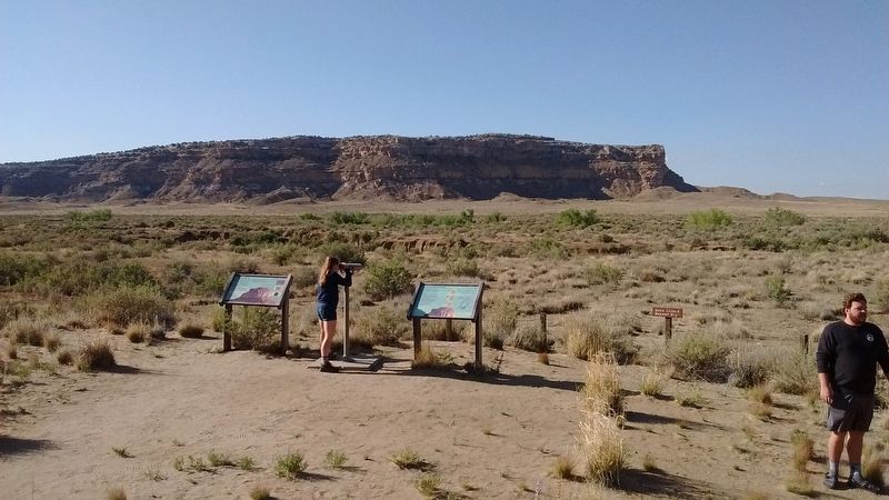
2. Fajada Butte Marker
Fajada Butte Marker on the left.
Also see . . .
1. Chaco Culture. National Park Service website entry (Submitted on July 15, 2018, by Tom Bosse of Jefferson City, Tennessee.)
2. Fajada Butte. Wikipedia entry (Submitted on July 15, 2018, by Tom Bosse of Jefferson City, Tennessee.)
Photographed by Tom Bosse, May 22, 2018
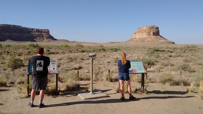
3. Fajada Butte Marker
Fajada Butte Marker on the left. Fajada Butte can be seen in the distance.
Photographed by Tom Bosse, May 22, 2018
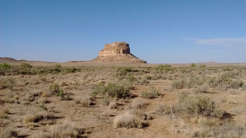
4. Fajada Butte
Photographed by Tom Bosse, May 21, 2018
5. Chaco Culture National Historic Park - Fajada Butte
Credits. This page was last revised on February 11, 2022. It was originally submitted on July 15, 2018, by Tom Bosse of Jefferson City, Tennessee. This page has been viewed 475 times since then and 46 times this year. Photos: 1, 2, 3, 4, 5. submitted on July 15, 2018, by Tom Bosse of Jefferson City, Tennessee. • Syd Whittle was the editor who published this page.
