Near Montrose in Montrose County, Colorado — The American Mountains (Southwest)
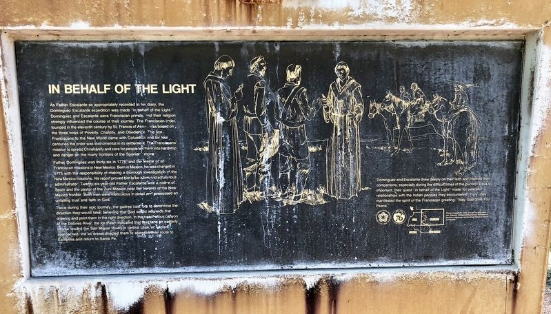
In Behalf of the Light
Photographed by Mark Hilton, July 8, 2018
1. In Behalf of the Light Marker
Father Dominguez was thirty-six in 1776, and the leader of all Franciscan missions in New Mexico. Born in Mexico, he was charged in 1775 with the responsibility of making a thorough investigation of the New Mexico missions. His report proved him to be a firm and scrupulous administrator. Twenty-six-year-old Father Escalante was a native of Spain and the pastor of the Zuni Mission near the borders of the New Mexico frontier. Both men were meticulous
this page online
Twice during their epic journey, the padres cast lots to determine the direction they would take, believing that God would influence the drawing and point them in the right direction. In the treacherous canyon of the Dolores River, the lot drawn indicated that they take an easterly course toward the San Miguel River in central Utah as winter approached, the lot drawn directed them to abandon their route to California and return to Santa Fe.
Dominguez and Escalante drew deeply on their faith and inspired their companions, especially during the difficult times of the journey. Equally important, their quest "in behalf of the Light" made for peaceful relationships with the Indian peoples they encountered. Truly, they manifested the spirit of the Franciscan greeting: "May God Give You Peace."
Erected 1976 by the Colorado Centennial-Bicentennial Commission, the town of Montrose, and the State Historical Society of Colorado.
Topics. This historical marker is listed in these topic lists: Exploration • Indigenous Peoples and Communities • Religion & Religious Structures. A significant historical year for this entry is 1776.
Location. 38° 26.13′ N,

Photographed by Mark Hilton, July 8, 2018
2. In Behalf of the Light Marker

Regionally, this marker is in the Western Slope. It is also in the American Mountain West, on the Colorado Plateau, and at the Four Corners. Globally, it is in North America, the Rocky Mountains, the Western Hemisphere, the Western World, and the Anglosphere. Historically, it finds itself in what was once Mexico’s Alta California.
Other nearby markers. At least 8 other markers are within 2 miles of this marker, measured as the crow flies: So Bold, So Beautiful a Land (here, next to this marker); Building An Empire: The Spanish Frontier (here, next to this marker); Pageant in the Wilderness (a few steps from this marker); The Ute Way of Life (a few steps from this marker); The Dominguez-Escalante Expedition / Dominguez-Escalante Country (a few steps
Photographed by Mark Hilton, July 8, 2018
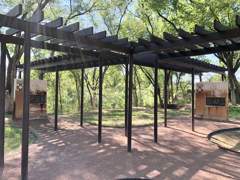
3. In Behalf of the Light Marker is on the right.
Credits. This page was last revised on July 16, 2018. It was originally submitted on July 16, 2018, by Mark Hilton of Montgomery, Alabama. This page has been viewed 359 times since then and 30 times this year. Photos: 1, 2, 3. submitted on July 16, 2018, by Mark Hilton of Montgomery, Alabama.
