Mayflower in Tensas Parish, Louisiana — The American South (West South Central)
Sundown Mounds
Ancient Mounds Trail
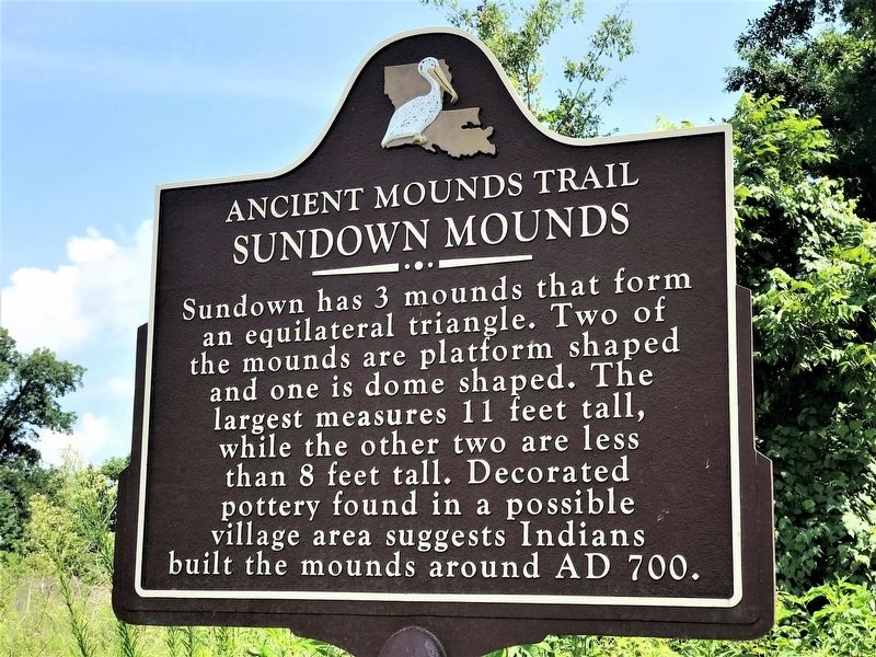
Photographed by Cajun Scrambler, July 15, 2018
1. Sundown Mounds Marker
Sundown has 3 mounds that form an equilateral triangle. Two of the mounds are platform shaped and one is dome shaped. The largest measures 11 feet tall, while the other two are less than 8 feet tall. Decorated pottery found in a possible village area suggests Indians built the mounds around AD 700.
Lower Plaque
This archaeological site is on private property. Please view the site from the highway right-of-way.
NO TRESPASSING
Topics and series. This historical marker is listed in this topic list: Indigenous Peoples and Communities. In addition, it is included in the Louisiana Ancient Mounds Trail series list.
Location. 31° 56.08′ N, 91° 25.159′ W. Marker is in Mayflower, Louisiana, in Tensas Parish. It is on Mayflower Road (Road 3252) half a mile north of Sundown Road (Parish Road 422), on the left when traveling north. Touch for map. Marker is in this post office area: Saint Joseph LA 71366, United States of America. Touch for directions.

Regionally, this marker is in North Louisiana. It is also in the American South, specifically in the Deep South, and in the
this page online
Other nearby markers. At least 8 other markers are within 11 miles of this marker, measured as the crow flies: Wesley Chapel (approx. 2.1 miles away); Mayflower Mound (approx. 2.7 miles away); Mound Plantation (approx. 7½ miles away); Flowery Mound (approx. 8.7 miles away); Engagement At Choctaw Bayou (approx. 10.3 miles away); Major Isaac Harrison's Tensas Cavalry (approx. 10.8 miles away); Tensas Rifle Co. (approx. 10.8 miles away); Tensas Parish Veterans (approx. 10.8 miles away). Touch for a list and map of all markers in Mayflower.
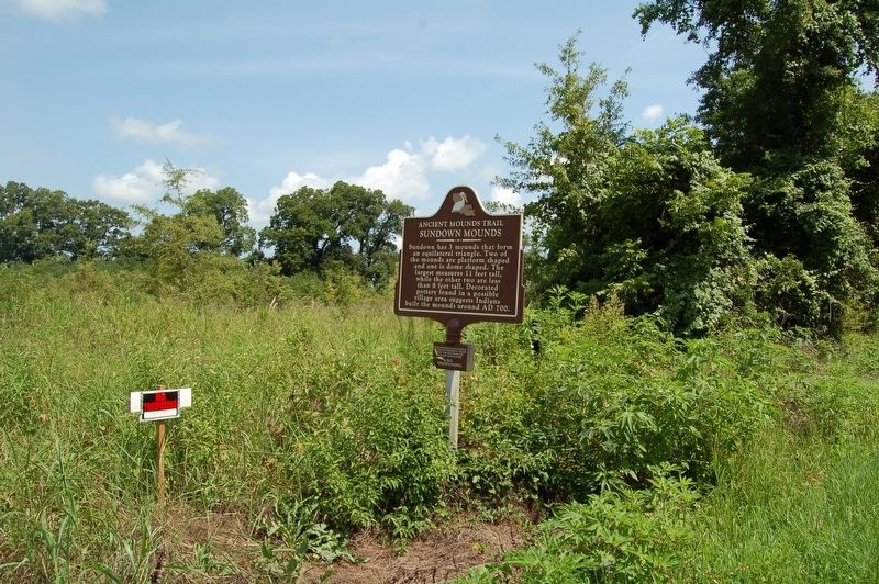
Photographed by Cajun Scrambler, July 14, 2018
2. Sundown Mounds Marker
Credits. This page was last revised on March 18, 2022. It was originally submitted on July 19, 2018, by Cajun Scrambler of Assumption, Louisiana. This page has been viewed 704 times since then and 60 times this year. Photos: 1, 2. submitted on July 19, 2018, by Cajun Scrambler of Assumption, Louisiana.
