Near Fort Oglethorpe in Walker County, Georgia — The American South (South Atlantic)
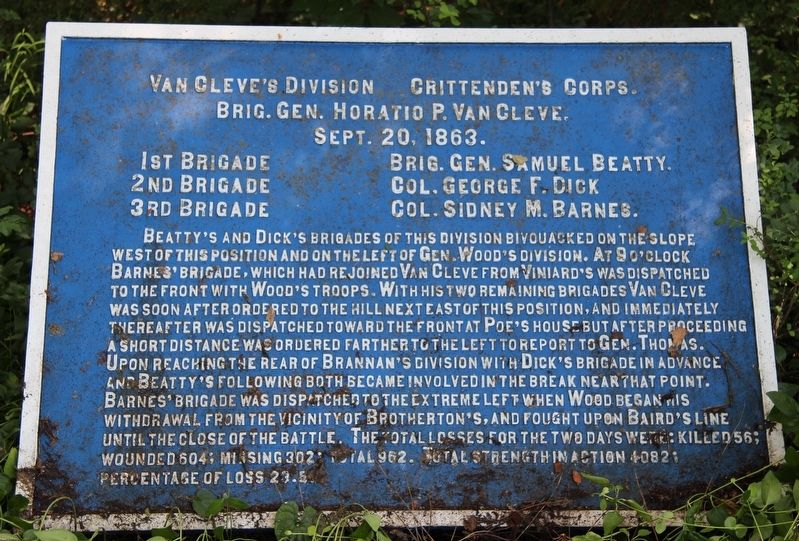
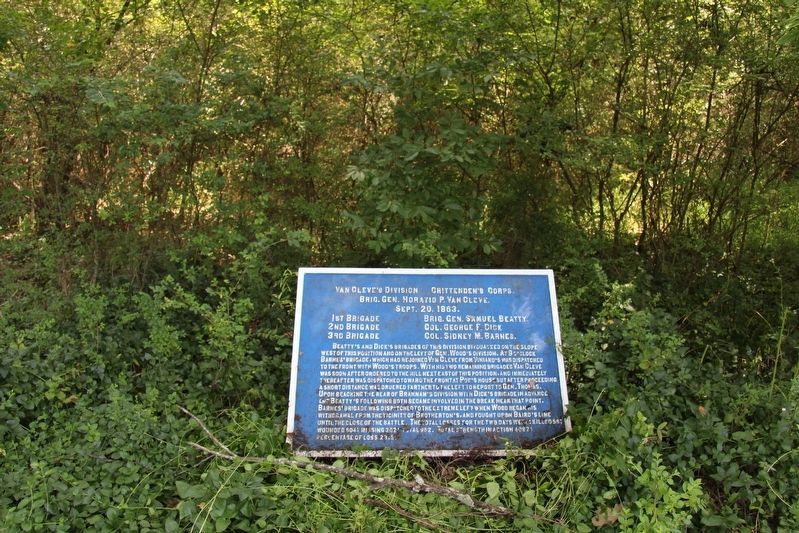
Van Cleve's Division
Crittenden's Corps
— Brigadier General Horatio P. Van Cleve —
Brigadier General Horatio P. Van Cleve.
September 20th, 1863.
1st Brigade - Brigadier General Samuel Beatty.
2nd Brigade - Colonel George F. Dick.
3rd Brigade - Colonel Sidney M. Barnes.
Beatty's and Dick's Brigades of this division bivouacked on the slope west of this position and on the left of General Wood's Division. At 9 o'clock Barnes' Brigade, which had rejoined Van Cleve from Viniard's was dispatched to the front with Wood's troops. With his two remaining brigades Van Cleve was soon after ordered to the hill next east of this position, and immediately thereafter was dispatched toward the front at Poe's house but after proceeding a short distance was ordered farther to the left to report to General Thomas. Upon reaching the rear of Brannan's division with Dick's Brigade in advance and Beatty's following both became involved in the break near that point. Barnes' Brigade was dispatched to the extreme left when Wood began his withdrawal from the vicinity of Brotherton's, and fought upon Baird's line until the close of the battle. The total loses for the two days were: killed 56; wounded 604; missing 302; total 962. Total strength in action 4082; percentage of loss 23.5.
Erected 1890 by the Chickamauga and Chattanooga National Military Park Commission. (Marker Number MT-533.)
Topics. This historical marker is listed in these topic lists: Parks & Recreational Areas • War, US Civil. A significant historical date for this entry is September 20, 1863.
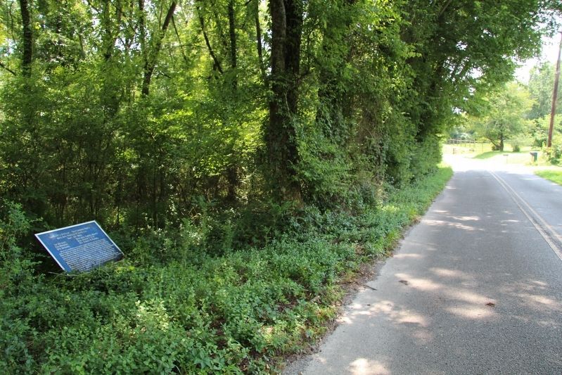
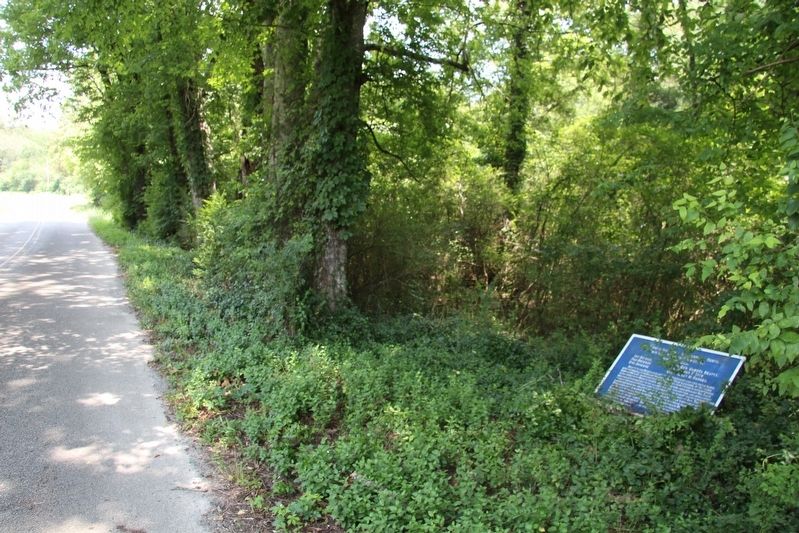
Location. 34° 55.145′ N, 85° 16.543′ W. Marker is near Fort Oglethorpe, Georgia, in Walker County. Marker is on Lytle Road north of Long Hollow Road, on the right when traveling north. This marker is located in the national park that preserves the site of the Chickamauga Battlefield, along the roadway that is situated along the western most boundary of the National Military Park, and this particular marker is situated along the east side of the roadway, in some thick, ground level foliage that potentially obscure the tablet. Touch for map. Marker is in this post office area: Fort Oglethorpe GA 30742, United States of America. Touch for directions.
Other nearby markers. At least 8 other markers are within walking distance of this marker. S. Beatty's Brigade (about 500 feet away, measured in a direct line); Dent's Alabama Battery (about 800 feet away); 7th Indiana Battery (approx. 0.2 miles away); Dick's Brigade (approx. 0.2 miles away); 35th Indiana Infantry (approx. 0.2 miles away); Barnes' Brigade (approx. 0.2 miles away); York's Georgia Battery (approx. 0.2 miles away); York's Georgia Battery. (approx. 0.2 miles away). Touch for a list and map of all markers in Fort Oglethorpe.
More about this marker. I used the "Chickamauga Battlefield" map, that I purchased at the Chickamauga and Chattanooga National Military Park, Visitor Center, to determine both the marker number for this tablet and the tablet's location in relation to the rest of the park's monuments, markers, and tablets. According to the map it provides the, "numerical listing of all monuments, markers, and tablets on the Chickamauga Battlefield (using the Chick-Chatt NMP Monument Numbering System).”
Credits. This page was last revised on July 23, 2018. It was originally submitted on July 19, 2018, by Dale K. Benington of Toledo, Ohio. This page has been viewed 115 times since then and 7 times this year. Photos: 1, 2, 3, 4, 5. submitted on July 19, 2018, by Dale K. Benington of Toledo, Ohio.
