Pineville in Rapides Parish, Louisiana — The American South (West South Central)
300 Block Main Street
Photographed by Cajun Scrambler, April 6, 2018
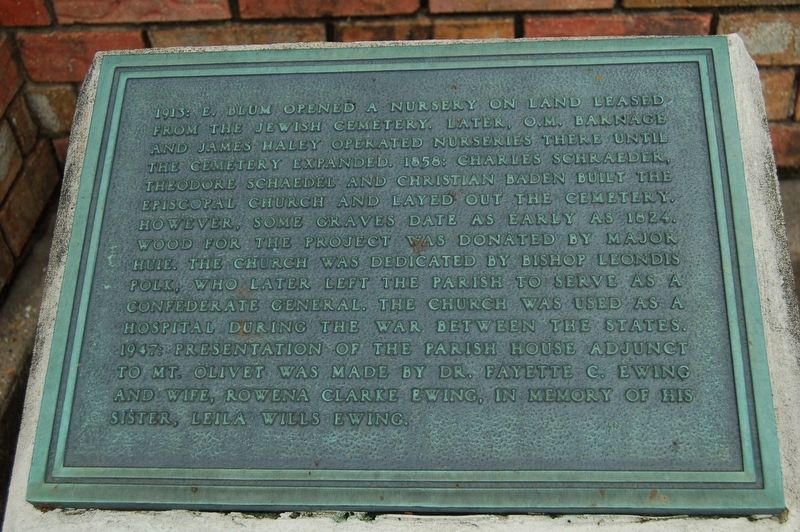
1. 300 Block Main Street Marker
1913: E. Blum opened a nursery on land leased from the Jewish Cemetery. Later, O.M. Barnage and James Haley operated nurseries there until the cemetery expanded. 1858: Charles Schraeder, Theodore Schaedel and Christian Baden built the Episcopal Church and layed out the cemetery. However, some graves date as early as 1824. Wood for the project was donated by Major Huie. The church was dedicated by Bishop Leondis Polk, who later left the parish to serve as a Confederate General. The church was used as a hospital during the War Between the States. 1947: Presentation of the parish house adjunct to Mt. Olivet was made by Dr. Fayette C. Ewing and wife Rowen Clarke Ewing, in memory of his sister, Leila Wills Ewing.
Topics. This historical marker is listed in these topic lists: Religion & Religious Structures • Roads & Vehicles • Settlements & Settlers.
Location. 31° 19.003′ N, 92° 26.384′ W. Marker is in Pineville, Louisiana, in Rapides Parish. It is on Main Street (Business U.S. 165) north of Hardtner Street, on the right when traveling south. Touch for map. Marker
this page online

Regionally, this marker is in Central Louisiana and in Acadiana — Cajun Country. It is also in the American South and specifically in the Deep South. Globally, it is in North America, a Gulf of Mexico state, the Western Hemisphere, the Western World, and the Anglosphere. Historically, it finds itself in what was once New Spain, the Viceroyalty of New France, the territory of the Mississippian Culture, the Louisiana Purchase, one of the Confederate States of America, and the Antebellum South.
Other nearby markers. At least 8 other markers are within walking distance of this marker: The Jewish Cemetery (within shouting distance of this marker); 200 Block of Main Street (within shouting distance of this marker); Mount Olivet Chapel (about 400 feet away, measured in a direct line); Mount Olivet Cemetery and Chapel (about 400 feet away); Pineville #3 (about 600 feet away); Rapides Cemetery (about 700 feet away); Pineville #4 (approx. 0.2 miles away); Old Rapides Cemetery (approx. 0.2 miles away). Touch for a list and map of
Photographed by Cajun Scrambler, April 6, 2018
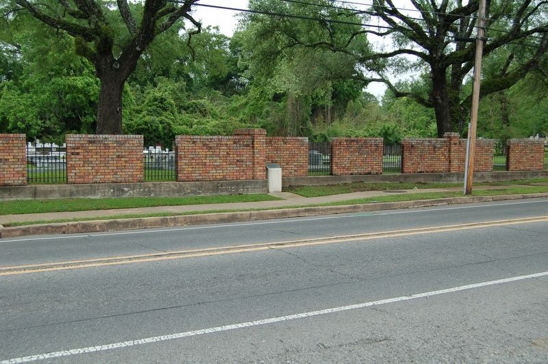
2. 300 Block Main Street Marker
Credits. This page was last revised on November 24, 2022. It was originally submitted on July 22, 2018, by Cajun Scrambler of Assumption, Louisiana. This page has been viewed 314 times since then and 20 times this year. Photos: 1, 2. submitted on July 22, 2018.
