
Indianola in Calhoun County, Texas — The American South (West South Central)
Indianola
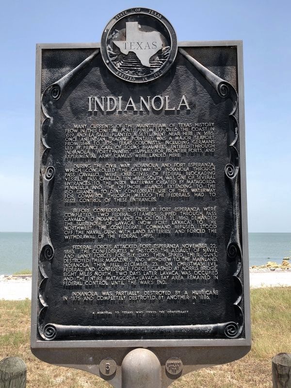
Photographed by Brian Anderson, July 21, 2018
1. Indianola Marker
During the Civil War Indianola and Fort Esperanza, which controlled the gateway to Indianola through Pass Cavallo, were objectives of Federal blockading vessels. Pass Cavallo, ten miles south, was one of several entrances to the inside waterway created by Matagorda Peninsula and the offshore islands extending to the Rio Grande. To deny Confederate use of this waterway for commerce through Mexico the Federals had to seize control of these entrances.
Before Confederate defenses at Fort Esperanza were completed, two Federal steamers slipped through Pass Cavallo to Indianola and on October 31, 1862 demanded the surrender of Lavaca (now Port Lavaca) to the northwest. The Confederate command refused, stood
this page online
Federal forces attacked Fort Esperanza November 22, 1863. The Confederates withstood the assault of naval and land forces for six days then spiked their guns, destroyed their magazines, and withdrew to the mainland. Indianola then fell December 23. On Christmas Eve, Federal and Confederate forces clashed at Norris Bridge, eight miles north. Two days later Lavaca was occupied and the entire Matagorda-Lavaca Bay area remained in Federal control until the war's end.
Indianola was partially destroyed by a hurricane in 1875 and completely destroyed by another in 1886.
A memorial to Texans who served the Confederacy.
Erected 1963 by State of Texas. (Marker Number 2642.)
Topics. This historical marker is listed in these topic lists: Disasters • Settlements & Settlers • War, US Civil.
Location. 28° 31.665′ N, 96° 30.547′ W. Marker is in Indianola, Texas, in Calhoun County. It is on State Highway 316 half a mile south of North Ocean Drive, on the left when traveling south. The monument/historical
Photographed by Gregory Walker, October 18, 2012
2. Indianola Marker

Regionally, this marker is in the American South and on the Gulf Coast. Globally, it is in North America, a Gulf of Mexico state, the Western Hemisphere, the Western World, and the Anglosphere. Historically, it finds itself in what was once New Spain, the Republic of Texas, and one of the Confederate States of America.
Other nearby markers. At least 8 other markers are within walking distance of this marker: Louis Antoine Andry (within shouting distance of this marker); Rene Robert Cavelier Sieur de la Salle (within shouting distance of this marker); The Great Camel Experiment (approx. 0.6 miles away); Sgt. William Henry Barnes (approx. 0.6 miles away); Indianola Cemetery (approx. 0.6 miles
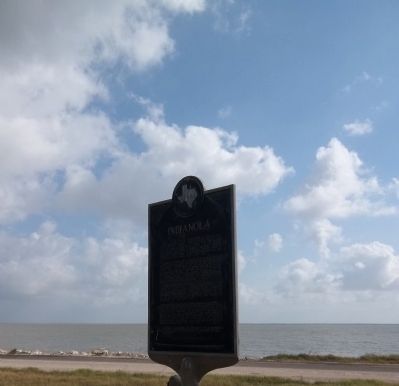
Photographed by Zacharias Beau T, March 6, 2011
3. Indianola Marker
A cholera outbreak was the first morbid era in Indianola. The Union bombardment and occupation added to stresses on the town's heritage. When post-war Federal occupation finally ended in 1875, the devastating hurricane that year killed more than three hundred. Dozens more lives were lost eleven years later in another storm. Within forty years of Indianola's history it was almost a ghost town.
More about this marker. When Texas initiated the current historical marker program in 1962, the design of the markers was slightly different than what eventually became the standard design. The markers were larger and featured elaborate scroll work around the text. Approximately 20 of these markers were placed between 1962 and 1964, when the current marker design was adopted. This marker was the 5th marker in that initial series, as designated by the number 5 found on the marker's base. The marker numbers disappeared in new design and the THC eventually went with a completely different numbering scheme for the markers.
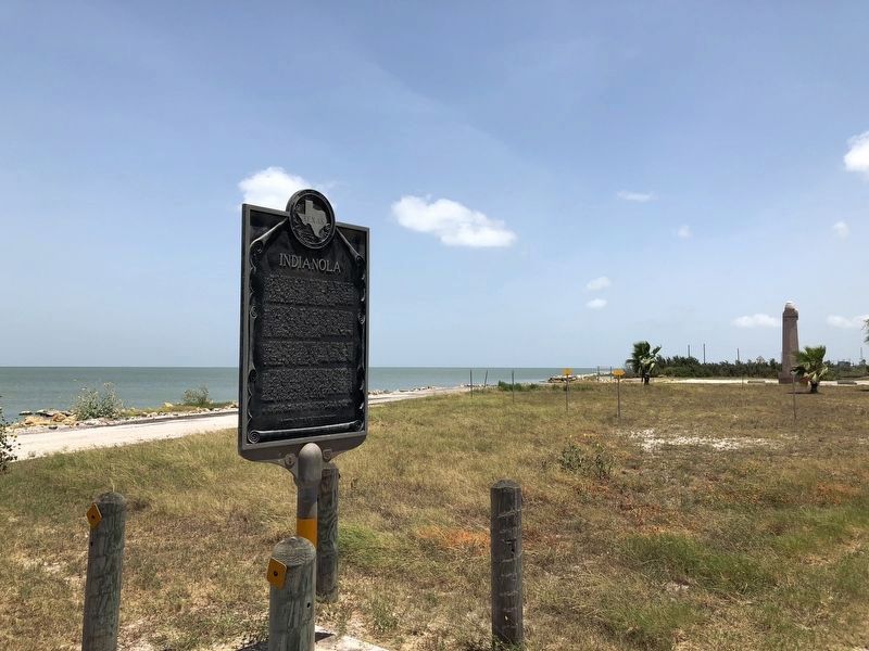
Regarding Indianola. Indianola was once incorporated. The victim of countless strong Gulf hurricanes the majority of the old sites of Indianola are under the surface of Matagorda Bay. An unincorporated community of seasonal homes and some locals remain.
Also see . . . Indianola, TX - The Handbook of Texas Online.
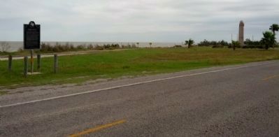
Photographed by Gregory Walker, October 18, 2012
4. Indianola Marker with LaSalle Monument in the distance
Photographed by Brian Anderson, July 21, 2018
5. Indianola Marker with La Salle Monument in the Background
Photographed by Richard Denney
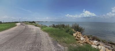
6. Matagorda Bay
View from near marker looking NW along shore of Matagorda Bay
Photographed by Richard Denney
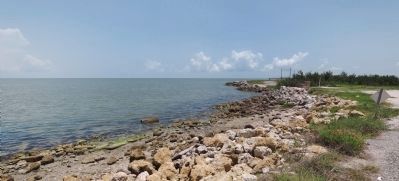
7. Matagorda Bay
View from near marker looking SE along shore of Matagorda Bay
Credits. This page was last revised on July 24, 2018. It was originally submitted on June 24, 2011, by Zacharias Beau T of Alpine, Texas. This page has been viewed 2,939 times since then and 219 times this year. Last updated on July 23, 2018, by Brian Anderson of New Albany, Ohio. Photos: 1. submitted on July 23, 2018, by Brian Anderson of New Albany, Ohio. 2. submitted on November 22, 2012, by Gregory Walker of La Grange, Texas. 3. submitted on June 24, 2011, by Zacharias Beau T of Alpine, Texas. 4. submitted on November 22, 2012, by Gregory Walker of La Grange, Texas. 5. submitted on July 23, 2018, by Brian Anderson of New Albany, Ohio. 6, 7. submitted on July 5, 2014, by Richard Denney of Austin, Texas. • Andrew Ruppenstein was the editor who published this page.
