Near Port Lavaca in Calhoun County, Texas — The American South (West South Central)
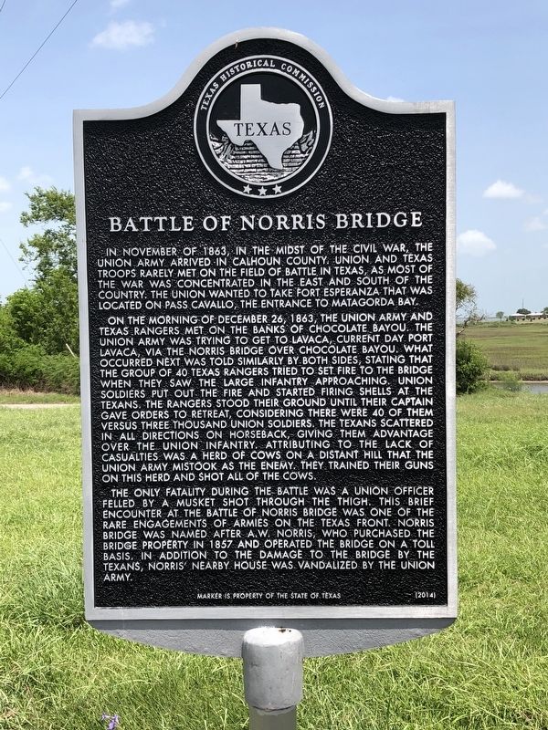
Battle of Norris Bridge
On the morning of December 26, 1863, the Union Army and Texas Rangers met on the banks of Chocolate Bayou. The Union Army was trying to get to Lavaca, current day Port Lavaca, via the Norris Bridge over Chocolate Bayou. What occurred next was told similarly by both sides, stating that the group of 40 Texas Rangers tried to set fire to the bridge when they saw the large infantry approaching. Union soldiers put out the fire and started firing shells at the Texans. The Rangers stood their ground until their captain gave orders to retreat, considering there were 40 of them versus three thousand Union soldiers. The Texans scattered in all directions on horseback, giving them advantage over the Union infantry. Attributing to the lack of casualties was a herd of cows on a distant hill that the Union Army mistook as the enemy. They trained their guns on this herd and shot all of the cows.
The only fatality during the battle was a Union officer felled by a musket shot through the thigh. This brief encounter at the Battle of Norris Bridge was one of the rare engagements of armies on the Texas front. Norris Bridge was named after A.W. Norris, who purchased the bridge property in 1857 and operated the bridge on a toll basis. In addition to the damage to the bridge by the Texans, Norris’ nearby house was vandalized by the Union Army.
Erected 2014 by Texas Historical Commission. (Marker Number 17992.)
Topics. This historical marker is listed in this topic list: War, US Civil. A significant historical date for this entry is December 26, 1863.
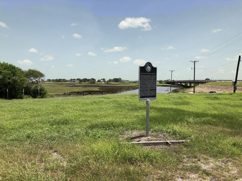
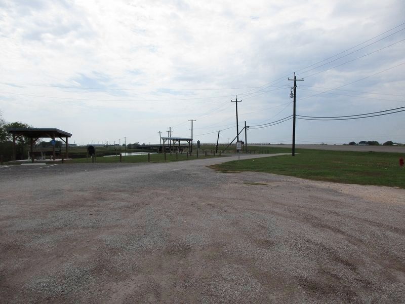
Location. 28° 34.733′ N, 96° 39.031′ W. Marker is near Port Lavaca, Texas, in Calhoun County. Marker is on Buren Road, 0.2 miles east of State Highway 238, on the right when traveling south. Marker is located in a loop off the highway which leads to a public boat ramp. Touch for map. Marker is at or near this postal address: 452 Buren Rd, Port Lavaca TX 77979, United States of America. Touch for directions.
Other nearby markers. At least 8 other markers are within 3 miles of this marker, measured as the crow flies. Edward Fred Knipling (approx. 1.3 miles away); Port Lavaca Cemetery (approx. 2˝ miles away); Wiley George (approx. 2˝ miles away); Jefferson Beaumont (approx. 2.6 miles away); Mt. Sinai Baptist Church (approx. 2.6 miles away); Sunlight Girls Club (approx. 2.7 miles away); Alice O. Wilkins School (approx. 2.7 miles away); Saint Joseph Baptist Church (approx. 2.7 miles away). Touch for a list and map of all markers in Port Lavaca.
Credits. This page was last revised on August 30, 2023. It was originally submitted on July 23, 2018, by Brian Anderson of Humble, Texas. This page has been viewed 537 times since then and 32 times this year. Photos: 1, 2. submitted on July 23, 2018, by Brian Anderson of Humble, Texas. 3. submitted on August 29, 2023, by Jeff Leichsenring of Garland, Texas. • Bernard Fisher was the editor who published this page.


