Kyle in Hays County, Texas — The American South (West South Central)
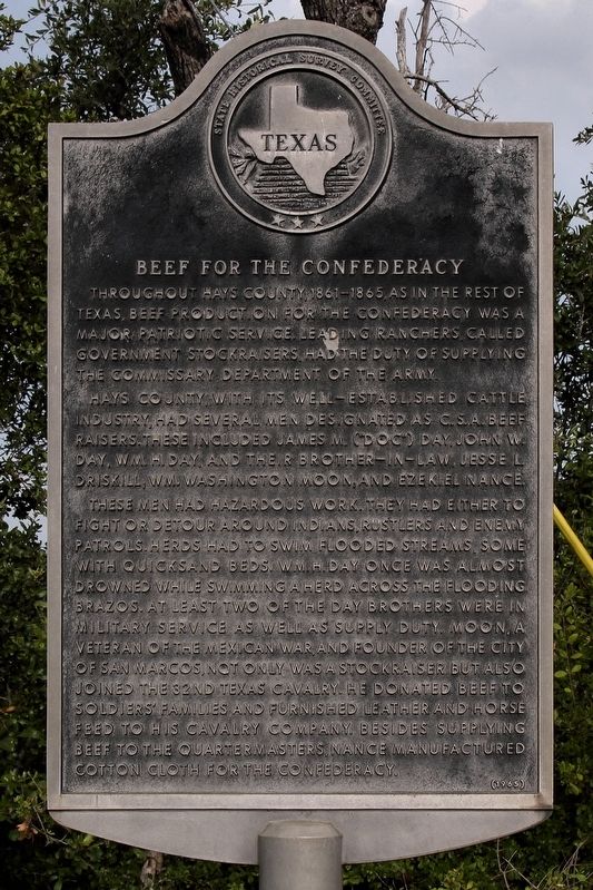
Beef for the Confederacy
Hays County, with its well-established cattle industry, had several men designated as C.S.A. Beef Raisers. These included James M. ("Doc") Day, John W. Day, Wm. H. Day, and their brother-in-law, Jesse L. Driskill; Wm. Washington Moon; and Ezekiel Nance.
These men had hazardous work. They had either to fight or detour around Indians, rustlers and enemy patrols. Herds had to swim flooded streams, some with quicksand beds. Wm. H. Day once was almost drowned while swimming a herd across the flooding Brazos. At least two of the Day brothers were in military service as well as supply duty. Moon, a veteran of the Mexican War, and founder of the city of San Marcos, not only was a stockraiser but also joined the 32nd Cavalry. He donated beef to soldiers' families and furnished leather and horse feed to his cavalry company. Beside supplying beef to the quartermasters, Nance manufactured cotton cloth for the Confederacy.
Erected 1965 by State Historical Survey Committee. (Marker Number 10235.)
Topics. This historical marker is listed in these topic lists: Agriculture • War, US Civil.
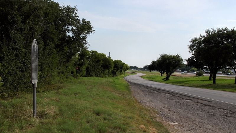
Location. 29° 57.149′ N, 97° 52.772′ W. Marker is in Kyle, Texas, in Hays County. Marker is on U.S. 35 Frontage Road at milepost 211,, 0.4 miles north of Yarrington Road (County Road 159), on the right when traveling south. Touch for map. Marker is in this post office area: Kyle TX 78640, United States of America. Touch for directions.
Other nearby markers. At least 8 other markers are within 3 miles of this marker, measured as the crow flies. Kyle Pioneer Family Cemetery (approx. 1.3 miles away); Kyle Cemetery (approx. 1.3 miles away); Old D. A. Young Building (approx. 2˝ miles away); The Kyle Auction Oak (approx. 2˝ miles away); Cora Jackman Donalson House (approx. 2˝ miles away); Kyle (approx. 2˝ miles away); John Wheeler Bunton (approx. 2˝ miles away); Lex Word and the Bon Ton (approx. 2˝ miles away). Touch for a list and map of all markers in Kyle.
Credits. This page was last revised on July 25, 2018. It was originally submitted on July 24, 2018, by Larry D. Moore of Del Valle, Texas. This page has been viewed 286 times since then and 31 times this year. Photos: 1, 2. submitted on July 24, 2018, by Larry D. Moore of Del Valle, Texas. • Andrew Ruppenstein was the editor who published this page.

