
Jerécuaro, Guanajuato, Mexico — The Central Highlands (North America)
175th Anniversary of the Beginning of Mexican Independence
75th Anniversary of the Beginning of the Mexican Revolution
Photographed by J. Makali Bruton, July 21, 2018
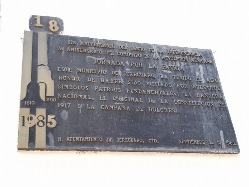
1. 175th Anniversary of the Beginning of Mexican Independence Marker

75 Aniversario del Comienzo de la Revolucion Mexicana
1810 1910
Jornada por la Patria
Este Municipio de Jerecuaro ha tenido el alto honor de haber sido visitado por nuestros símbolos patrios fundamentales: La Bandera Nacional, el original de la Constitucion de 1917 y la Campana de Dolores.
H. Ayuntamiento de Jerecuaro, Gto.
Septiembre 22 de 1985.
75th Anniversary of the Beginning of the Mexican Revolution
1810 - 1910
Journey for the Nation
This Municipality of Jerécuaro has had the high honor of having been visited by our fundamental national symbols: The National Flag, the original Constitution of 1917 and the Bell of Dolores.
Honorable City Council of Jerécuaro, Guanajauto
September 22, 1985
Erected 1985 by Honorable Ayuntamiento de Jerécuaro, Guanajuato.
Topics. This memorial is listed in this topic list: Wars, Non-US.
Location. 20° 8.997′ N, 100° 30.638′ W. Memorial is in Jerécuaro, Guanajuato. It is on Calle Fray Ángel Juárez just south
this page online

Regionally, this memorial is in Central Mexico and in the Bajío. Globally, it is in North America, on the Ring of Fire, and in the Western Hemisphere. Historically, it finds itself in what was once New Spain, a Spanish colony, and the Aztec Empire.
Other nearby markers. At least 8 other markers are within 18 kilometers of this marker, measured as the crow flies: Manuel Doblado (about 120 meters away, measured in a direct line); Friar Manuel Linares, O.F.M (approx. half a kilometer away); The Atrium Wall of Coroneo (approx. 16.1 kilometers away); 400th Anniversary of the founding of Coroneo (approx. 16.1 kilometers away); a different marker also named 175th Anniversary of the Beginning of Mexican Independence (approx. 16.3 kilometers away); Royal Charter of Santiago Tarandacuaro (approx. 16.3 kilometers away); Miguel Hidalgo y Costilla (approx. 16.3 kilometers away); Miguel Hidalgo (approx. 16.6 kilometers away). Touch for a list and map of all markers
Photographed by J. Makali Bruton, July 21, 2018
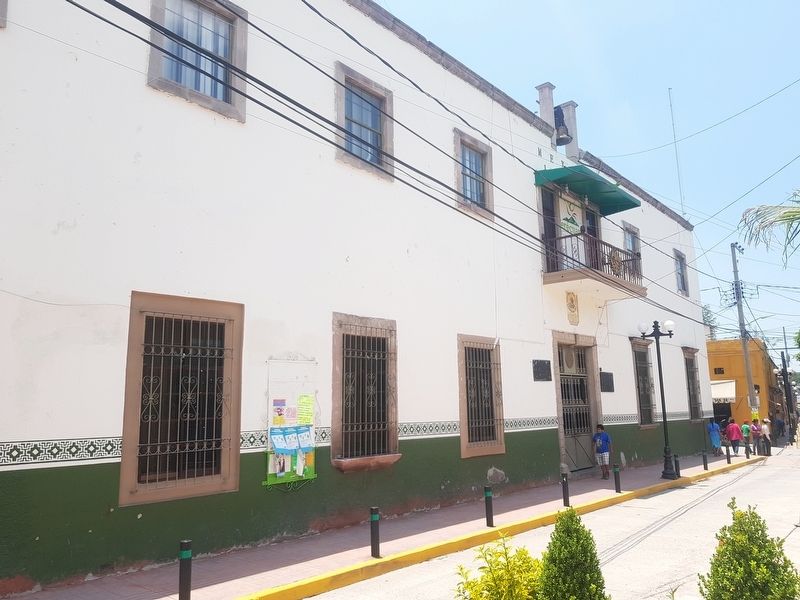
2. 175th Anniversary of the Beginning of Mexican Independence Marker
The marker is to the right of the entrance to the Presidencia Municipal of Jerécuaro. To the left of the entrance is a dedicatory marker on the 1982 construction of this building's second story.
Photographed by J. Makali Bruton, July 21, 2018
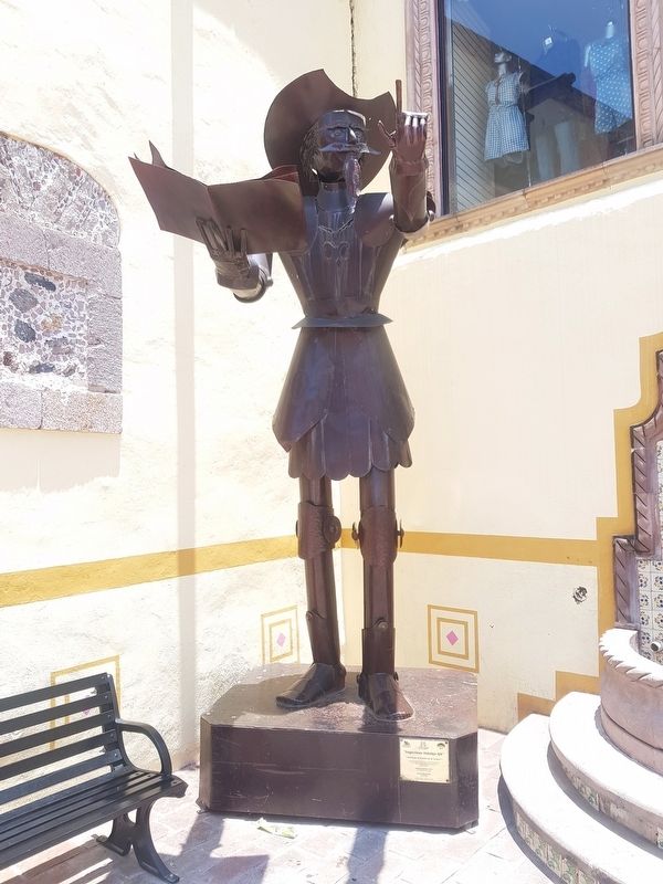
3. A nearby sculpture of Don Quijote, in front of the Jerécuaro Cultural Center (Casa de Cultura)
Photographed by J. Makali Bruton, July 21, 2018
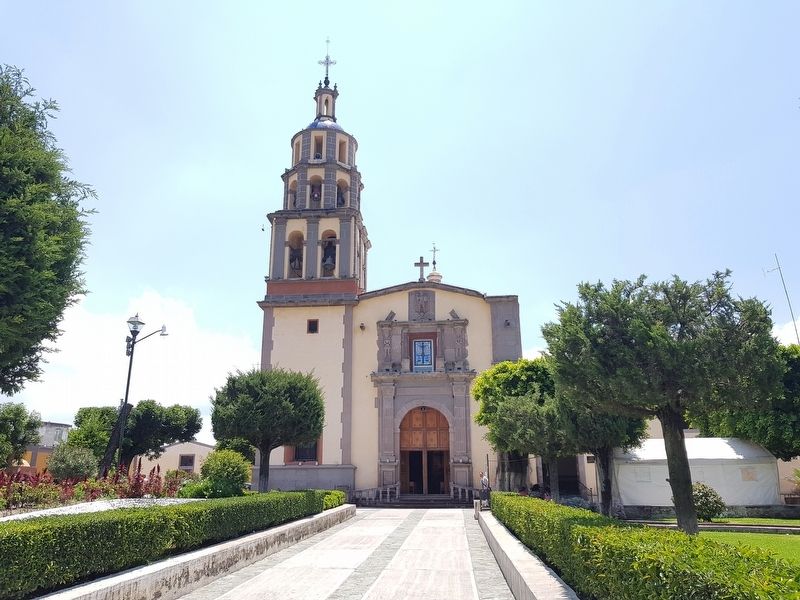
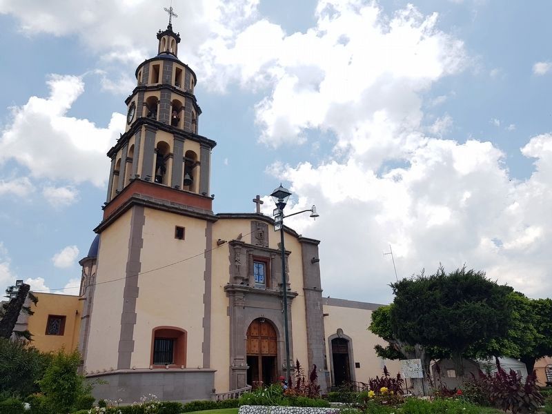
4. The nearby Parish of San Miguel Catholic Church
Photographed by J. Makali Bruton, July 21, 2018
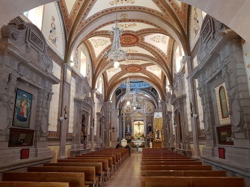
5. An interior view of the nearby Parish of San Miguel Catholic Church
Photographed by J. Makali Bruton, July 21, 2018
6. Another view of the nearby Parish of San Miguel Catholic Church
The markers to the right of the church entrance describe remodeling efforts and the anniversary of the church province.
Credits. This page was last revised on July 29, 2018. It was originally submitted on July 29, 2018, by J. Makali Bruton of Washington, District of Columbia. This page has been viewed 217 times since then and 19 times this year. Photos: 1, 2, 3, 4, 5, 6. submitted on July 29, 2018, by J. Makali Bruton of Washington, District of Columbia.
