Oxnard in Ventura County, California — The American West (Pacific Coastal)
The Oxnard Pagoda
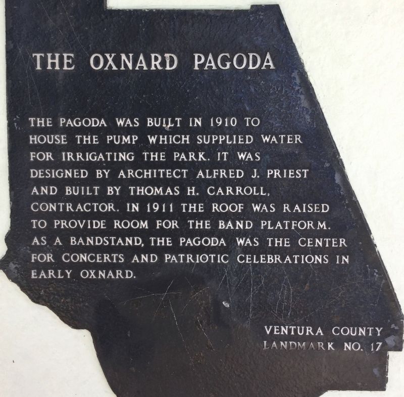
Photographed by Craig Baker, July 14, 2018
1. The Oxnard Pagoda Marker
Erected by Ventura County. (Marker Number 17.)
Topics and series. This historical marker is listed in these topic lists: Architecture • Parks & Recreational Areas. In addition, it is included in the Ventura County Historical Landmarks series list.
Location. 34° 11.864′ N, 119° 10.833′ W. Marker is in Oxnard, California, in Ventura County. It is on South C Street near 5th Street, on the left when traveling south. Located in Plaza Park. Touch for map. Marker is at or near this postal address: 500 South C Street, Oxnard CA 93030, United States of America. Touch for directions.

Regionally, this marker is in Greater Los Angeles, on the Central Coast, and in the Transverse Ranges. It is also on the American Pacific Coast.
this page online
Other nearby markers. At least 8 other markers are within 2 miles of this marker, measured as the crow flies: Petre Ranch House (approx. 0.2 miles away); Petit Ranch House (approx. ¼ mile away); Perkins / Claberg House (approx. ¼ mile away); First Church of Christ Scientist (approx. ¼ mile away); American Beet Sugar Factory (approx. 0.3 miles away); Henry Levy House (approx. half a mile away); Cesar E. Chavez (approx. ¾ mile away); The Maulhardt Winery (approx. 1.4 miles away). Touch for a list and map of all markers in Oxnard.
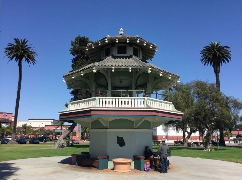
Photographed by Craig Baker, July 14, 2018
2. The Oxnard Pagoda and Marker
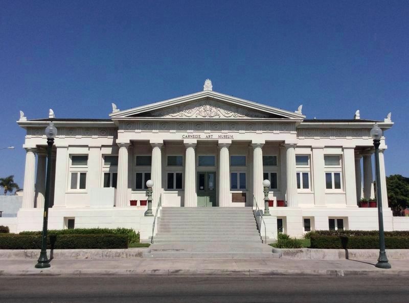
Photographed by Craig Baker, July 14, 2018
3. Carnegie Art Museum
Across the street from Plaza Park. Originally a Carnegie Library, built in 1906. Ventura County Historical Landmark No. 13, and on the National Register of Historic Places.
Credits. This page was last revised on January 24, 2023. It was originally submitted on August 1, 2018, by Craig Baker of Sylmar, California. This page has been viewed 1,663 times since then and 60 times this year. Photos: 1, 2, 3. submitted on August 1, 2018, by Craig Baker of Sylmar, California. • Syd Whittle was the editor who published this page.
