Colonia Guerrero in Ciudad de México, Mexico — The Valley of Mexico (The Central Highlands)
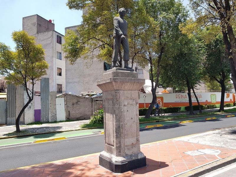
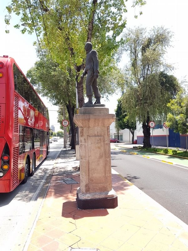
Jacinto Pat
Inscription.
Texto no encontrado
Text not found
Topics. This historical marker is listed in these topic lists: Native Americans • Wars, Non-US.
Location. Marker has been reported missing. It was located near 19° 26.523′ N, 99° 8.479′ W. Marker was in Ciudad de México. It was in Colonia Guerrero. Marker was on Paseo de la Reforma just north of Calle Obraje, on the right when traveling north. Touch for map. Marker was in this post office area: Ciudad de México 06300, Mexico. Touch for directions.
Other nearby markers. At least 8 other markers are within walking distance of this location. Simón Bolívar (approx. 0.3 kilometers away); Mariachi and the "El Tenampa" Cantina (approx. 0.3 kilometers away); The Chapel of the Dead (approx. 0.4 kilometers away); Joaquín Miguel Gutiérrez (approx. 0.4 kilometers away); The Convent of La Concepción (approx. half a kilometer away); Aquiles Serdán (approx. half a kilometer away); Juan A. Mateos (approx. half a kilometer away); a different marker also named Convent of La Concepción (approx. half a kilometer away). Touch for a list and map of all markers in Ciudad de México.
Regarding Jacinto Pat.
Jacinto Pat
Estatua erigida por el estado de Quintana Roo. Escultor Antonio Castellanos.
Jefe de la rebelión maya conocida como Guerra de Castas, residía en Tihosuco y aceptó el Tratado de Tzucacab con las autoridades gubernamentales, por lo que fue repudiado por Cecilio Chí y más tarde asesinado por otros líderes mayas debido a diferencias en la estrategia de la rebelión.
Comandados por Francisco de Montejo en 1544 se conquistó el territorio del actual municipio de Felipe Carrillo Puerto, quedando sus pobladores sujetos al sistema de encomiendas, con lo cual tuvieron que entregar tributo, servir a los conquistadores y sufrir malos tratos y explotación. Esta situación perduró durante la colonia y la independencia sin que hubiera ningún beneficio para los indígenas, hasta que el 30 de julio de 1847 se rebelaron en Tepich comandados por Cecilío Chí y más tarde por Jacinto Pat y otros líderes mayas, iniciando la Guerra de
Castas que durante más de 80 años mantuvo en pie de guerra a los mayas de la Península.
Jacinto Pat
Statue erected by the state of Quintana Roo. The sculptor was Antonio Castellanos.
Chief of the Mayan rebellion known as the Caste War, he resided in Tihosuco and accepted the Treaty of Tzucacab with the government authorities, for which he was disowned by Cecilio Chí and later assassinated by other Maya leaders due to differences in the strategy of the rebellion.
Commanded by Francisco de Montejo in 1544, the territory of the current municipality of Felipe Carrillo Puerto was conquered, leaving its inhabitants subject to the system of encomiendas, where they were forced to pay tribute, serve the conquistadors and suffer abuse and exploitation. This situation lasted during the Colonial period and through Independence without any benefit for the Maya, until on July 30, 1847 they rebelled in Tepich, commanded by Cecilio Chí and later by Jacinto Pat and other Mayan leaders, initiating the War of Castes that for more than 80 years kept the Maya of the Yucatan Peninsula in a state of war.
(Source: http://www.mexicomaxico.org and the contributor’s translation)
Credits. This page was last revised on April 17, 2020. It was originally submitted on August 3, 2018, by J. Makali Bruton of Accra, Ghana. This page has been viewed 191 times since then and 35 times this year. Photos: 1, 2. submitted on August 3, 2018, by J. Makali Bruton of Accra, Ghana.

