Pluma in Lawrence County, South Dakota — The American Midwest (Upper Plains)
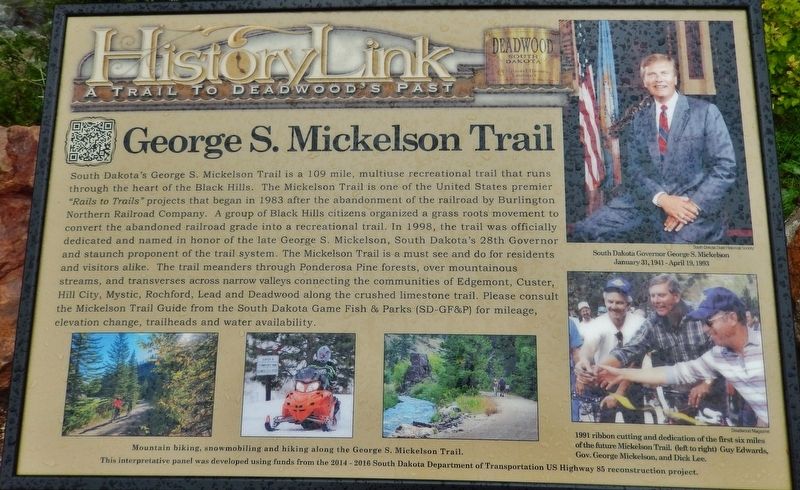
George S. Mickelson Trail
Photographed by Cosmos Mariner, July 12, 2018
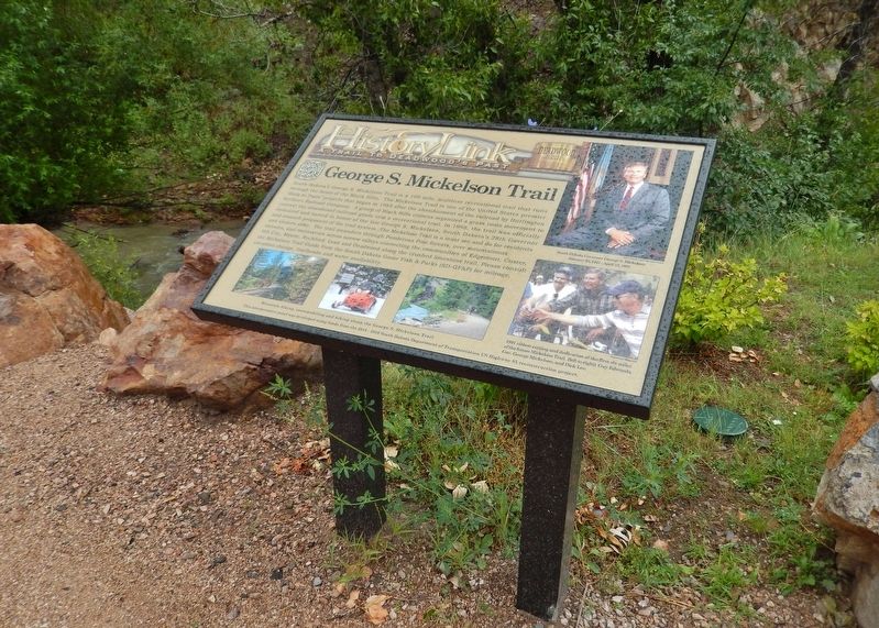
1. George S. Mickelson Trail Marker
Erected by The
this page online
Topics. This historical marker is listed in these topic lists: Parks & Recreational Areas • Railroads & Streetcars. A significant historical year for this entry is 1998.
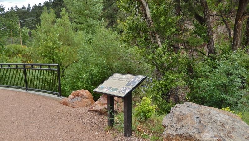
Location. 44° 21.595′ N, 103° 44.324′ W. Marker is in Pluma, South Dakota, in Lawrence County. It is on CanAm Highway (U.S. 85) north of U.S. 385, on the left when traveling north. Marker is located beside the Mickelson Trail, on the west side of the highway, adjacent to the Pluma, South Dakota Visitor Center parking lot, and overlooking Whitewood Creek. Touch for map. Marker is in this post office area: Deadwood SD 57732, United States of America. Touch for directions.

Regionally, this marker is in West River. It is also in the American Black Hills, in the Lewis & Clark Corridor, on the prairies, and on the Northern Plains. Globally, it is in North America, the Western Hemisphere, the Western World, and the Anglosphere. Historically, it finds itself in what was once Rupert’s Land and also the Louisiana Purchase.
Other nearby markers. At least 8 other markers are within walking distance of this marker: Flooding & The Railroads
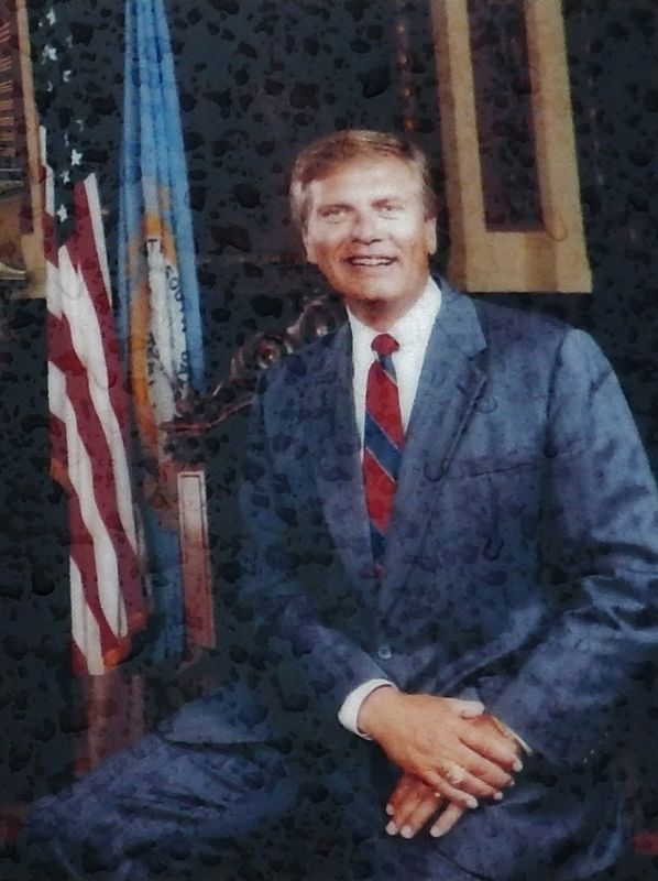
South Dakota State Historical Society
2. Marker detail: South Dakota Governor George S. Mickelson January 31, 1941 - April 19, 1993
More about this marker. Marker is a large composite plaque, mounted horizontally on two waist-high posts.
Related markers. Click here for a list of markers that are related to this marker. George S. Mickelson Trail
Also see . . . George S. Mickelson Trail. The George S. Mickelson Trail, in the heart of the beautiful Black Hills, was completed in September of 1998. Its gentle slopes and easy access allow people of all ages and abilities to enjoy the beauty of the Black Hills. Much of the trail passes through National Forest Land, but there are parts of the trail that pass through privately owned land, where
Photographed by Deadwood Magazine
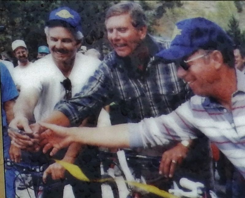
3. Marker detail: (left to right) Guy Edwards, Gov. George Mickelson, and Dick Lee
1991 ribbon cutting and dedication of the first six miles of the future Mickelson Trail.
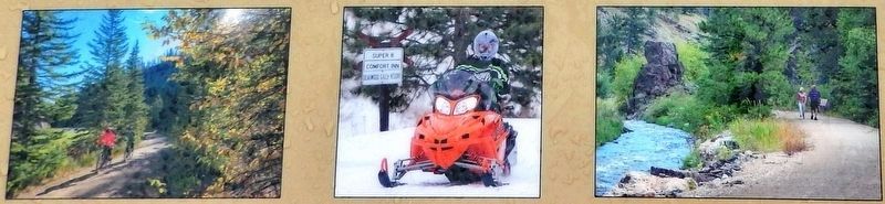
4. Marker detail: Mountain biking, snowmobiling and hiking along the George S. Mickelson Trail
Photographed by Cosmos Mariner, July 12, 2018
5. George S. Mickelson Trail Marker (tall view)
Photographed by Cosmos Mariner, July 12, 2018
6. George S. Mickelson Trail Marker (wide view; overlooking Whitewood Creek)
Credits. This page was last revised on August 6, 2018. It was originally submitted on August 4, 2018, by Cosmos Mariner of Cape Canaveral, Florida. This page has been viewed 507 times since then and 33 times this year. Photos: 1. submitted on August 4, 2018, by Cosmos Mariner of Cape Canaveral, Florida. 2, 3, 4, 5, 6. submitted on August 5, 2018, by Cosmos Mariner of Cape Canaveral, Florida. • Bill Pfingsten was the editor who published this page.
