Port Allen in West Baton Rouge Parish, Louisiana — The American South (West South Central)
Oaks Plantation
Photographed by Cajun Scrambler, August 3, 2018
1. Oaks Plantation Marker
Inscription.
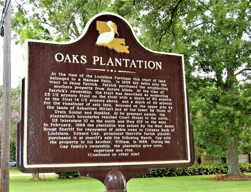
At the time of the Louisiana Purchase this tract of land
belonged to a Madame Patin. In 1838 her heirs sold the
tract to Jesse Patrick. Patrick purchased the neighboring
southern property from Aurore Allain. At the time of
Patrick's ownership, the tract was described as measuring
23 1/2 arpents front on the river with a depth of 80 arpents
on the first 14 1/2 arpents above, and a depth of 40 arpents
for the remainder of said land, bounded on the upper side by
the lands of Sebastien Hiriart and at the lower by those of
Ursin Soniat and Hopkins. At its greatest extent, the
plantation's boundaries reached Court Street to the north,
US Interstate 10 to the south and Hwy 415 to the west
In February, 1868 the plantation was seized by the West Baton
Rouge Sheriff for repayment of debts owed to Citizens Bank of
Louisiana. Edward Gay, prominent Iberville Parish planter,
purchased it at sheriff's sale the following March. Gay sold
the property to his brother, William, in 1869. During the
Gay family's, ownership, the plantation grew corn,
sugarcane and rice.
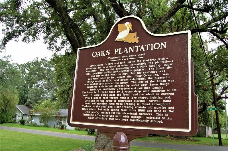
Levee maps in 1871 and 1914 depict the property with
Click or scan to see this page online
a
residence set in a grove of oaks, presumably the plantation's
namesake. Also on the plantation was a river landing, sugar
mill, quarters cabins and vegetable gardens. The house site
was lost to the river in 1914, but the residence was
relocated west to its present site. "The Oaks, Inc.” was
incorporated in 1924, and began subdividing the plantation
into smaller lots around the house. The site of the house was
enhanced with formal gardens by noted West Baton Rouge
landscape architects Theodore and Lou Bird Landry.
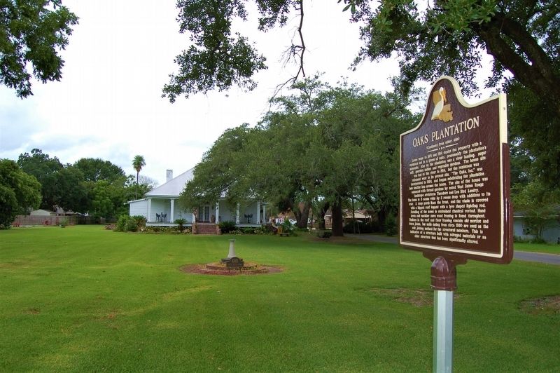
The home is 3 rooms wide by 2 rooms deep with additions to its
rear. A deep porch lines the front, and the whole is covered
with a hipped roof topped with a lyre shaped lighting rod.
Detailing of the house is restrained classical revival. Hand
hewn and machine sawn wood framing is found throughout.
Timbers in the roof and floor framing contain old mortise and
tenon joints, but nails dating from circa 1880 are used as the
sole joining method for the structural members. This is
indicative of a structure built with salvaged materials or an
older structure that has been significantly altered.
Location. 30° 26.893′ N, 91° 12.18′ W. Marker is in Port Allen, Louisiana, in West Baton Rouge Parish. It is on South River Road (State Road 987-5) south of Avenue E, on the right when traveling south. Touch for map. Marker is at or near this postal address: 602 South River Road, Port Allen LA 70767, United States of America. Touch for directions.
Regionally, this marker is in one of the River Parishes, in Acadiana — Cajun Country, and in Greater Baton Rouge. It is also in the American South, specifically in the Deep South, and in the Great River Road Region. Globally, it is in North America, a Gulf of Mexico state, the Western Hemisphere, the Western World, and the Anglosphere. Historically, it finds itself in what was once New Spain, the territory of the Mississippian Culture, the Louisiana Purchase, one of the Confederate States of America, and the Antebellum South.
Other nearby markers. At least 8 other markers are within walking distance of this
Credits. This page was last revised on September 4, 2022. It was originally submitted on August 4, 2018, by Cajun Scrambler of Assumption, Louisiana. This page has been viewed 537 times since then and 40 times this year. Photos:1, 2, 3, 4. submitted on August 4, 2018.