Wayside in Washington County, Mississippi — The American South (East South Central)
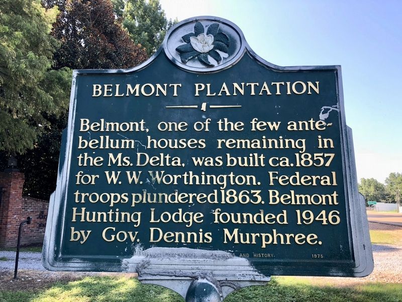
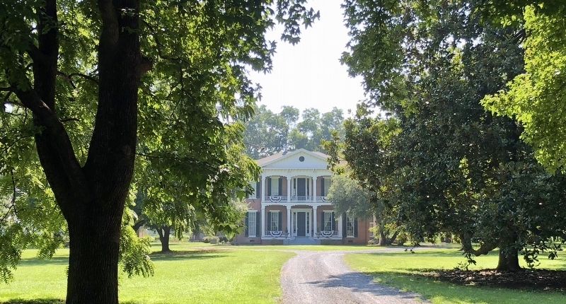
Belmont Plantation
Erected 1975 by Mississippi Department of Archives and History.
Topics and series. This historical marker is listed in these topic lists: Agriculture • Settlements & Settlers • War, US Civil. In addition, it is included in the Mississippi State Historical Marker Program series list. A significant historical year for this entry is 1857.
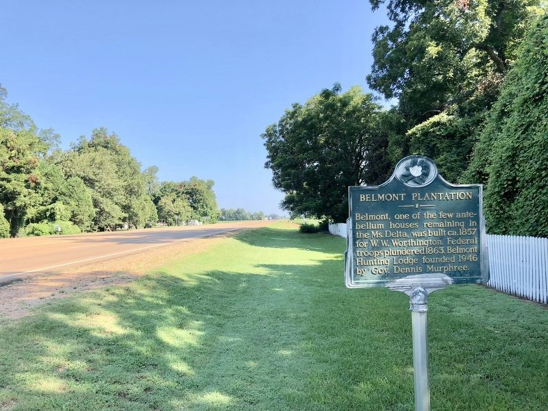
Location. 33° 16.247′ N, 91° 2.049′ W. Marker is in Wayside, Mississippi, in Washington County. Marker is on Mississippi Route 1 north of Mississippi Route 438, on the right when traveling north. Touch for map. Marker is at or near this postal address: 3498 Highway 1 South, Wayside MS 38780, United States of America. Touch for directions.
Other nearby markers. At least 8 other markers are within 8 miles of this marker, measured as the crow flies. Freedom Village (approx. 5.3 miles away); Lakeport Plantation House (approx. 7.1 miles away in Arkansas); Lakeport in the Civil War (approx. 7.1 miles away in Arkansas); "Little Italy" (approx. 7.6 miles away); Greenville Cypress Preserve (approx. 7.7 miles away); Holt Collier (approx. 7.8 miles away); Original Chinese Cemetery (approx. 8 miles away); To John A. Fox (approx. 8.1 miles away).
Credits. This page was last revised on October 5, 2020. It was originally submitted on August 4, 2018, by Mark Hilton of Montgomery, Alabama. This page has been viewed 270 times since then and 28 times this year. Photos: 1, 2, 3. submitted on August 4, 2018, by Mark Hilton of Montgomery, Alabama.


