
Belleville in Sevier County, Arkansas — The American South (West South Central)
Sevier County in the Civil War
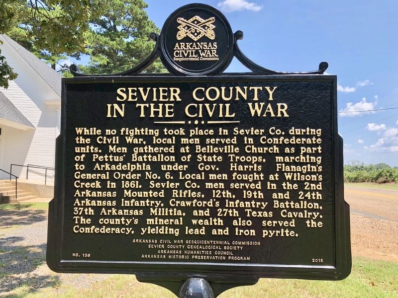
Photographed by Mark Hilton, August 2, 2018
1. Sevier County in the Civil War Marker
Erected 2015 by Arkansas Civil War Sesquicentennial Commission, Sevier County Genealogical Society, Arkansas Humanities Council, Arkansas Historic Preservation Program. (Marker Number 136.)
Topics and series. This historical marker is listed in these topic lists: Natural Resources • Religion & Religious Structures • War, US Civil. In addition, it is included in the Arkansas Civil War Sesquicentennial Commission series list. A significant historical year for this entry is 1861.
Location. 33° 56.212′ N, 94° 10.197′ W. Marker is in Belleville, Arkansas, in
this page online

Regionally, this marker is in Arkansas’ Gulf Coastal Plain and in Caddo Territory. It is also in the American South, specifically in the Upper South, and in the Piney Woods. Globally, it is in North America, the Western Hemisphere, the Western World, and the Anglosphere. Historically, it finds itself in what was once New Spain, the territory of the Mississippian Culture, the Louisiana Purchase, one of the Confederate States of America, and the Antebellum South.
Other nearby markers. At least 6 other markers are within 14 miles of this marker, measured as the crow flies: Sevier County Seat of Justice (approx. 12 miles away); In Appreciation of J. DeGoeijen (approx. 12 miles away); Anderson Ferry (approx. 12½ miles away); Will Reed Farm Home (approx. 12½ miles away); Original Site of Little River County Seat (approx. 12½ miles away); Mills Family Story (approx. 13.7 miles away).
Also see . . . Arkansas Preservation website on the history of the Belleville United Methodist Church.
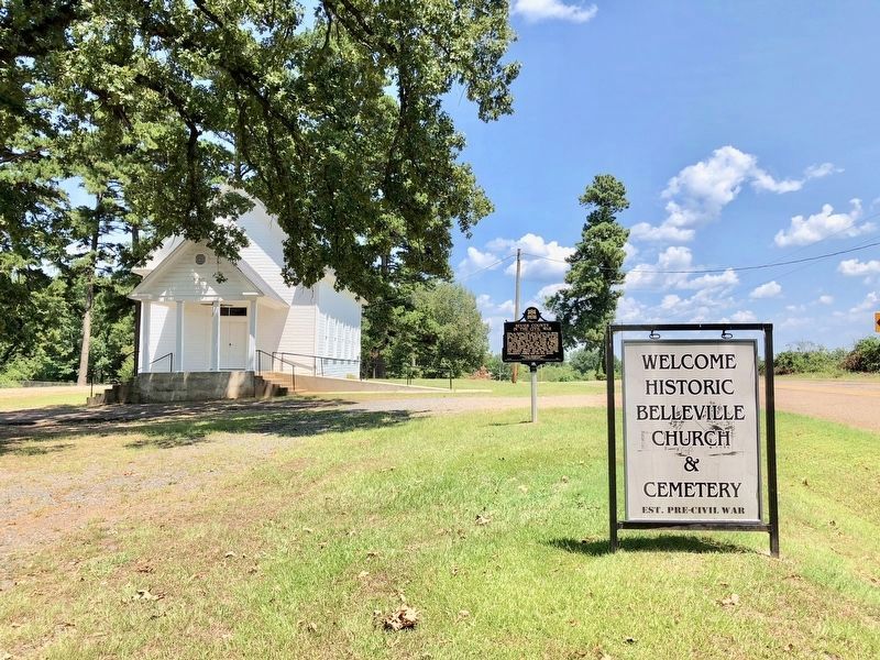
Photographed by Mark Hilton, August 2, 2018
2. View of marker and Old Belleville Church looking east.
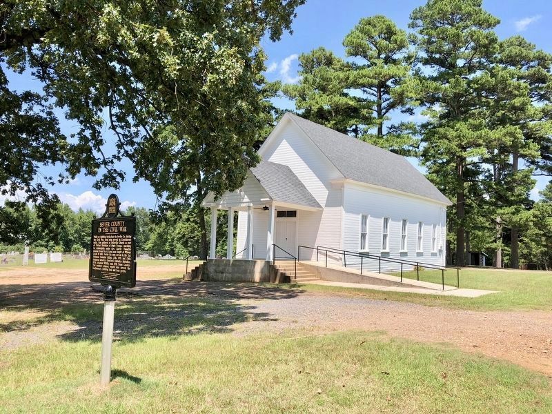
Photographed by Mark Hilton, August 2, 2018
3. View of marker, Belleville United Methodist Church and cemetery.
Credits. This page was last revised on August 5, 2018. It was originally submitted on August 5, 2018, by Mark Hilton of Montgomery, Alabama. This page has been viewed 753 times since then and 62 times this year. Photos: 1, 2, 3. submitted on August 5, 2018, by Mark Hilton of Montgomery, Alabama.
