Center Point in Howard County, Arkansas — The American South (West South Central)
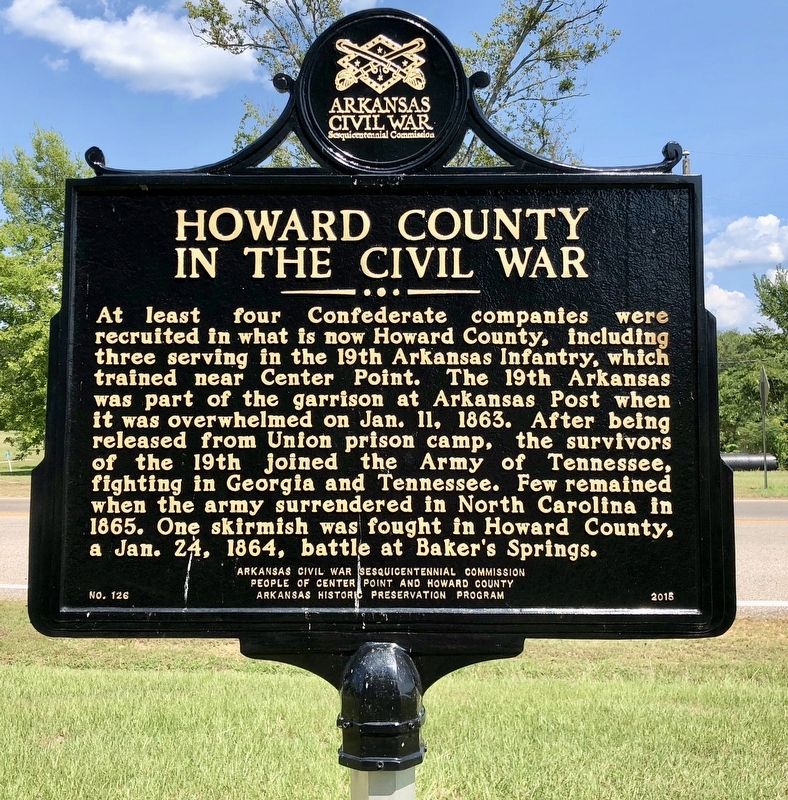
Howard County in the Civil War
Photographed by Mark Hilton, August 2, 2018
1. Howard County in the Civil War Marker
Erected 2015 by Arkansas Civil War Sesquicentennial Commission, People of Center Point and Howard County, Arkansas Historic Preservation Program. (Marker Number 126.)
Topics and series. This historical marker is listed in this topic list: War, US Civil. In addition, it is included in the Arkansas Civil War Sesquicentennial Commission series list. A significant historical date for this entry is January 11, 1863.
Location. 34° 1.61′ N, 93° 56.862′ W. Marker is in Center Point, Arkansas, in Howard County. It is at the intersection of U.S. 278 and 1st Street, on the left when traveling
this page online

Regionally, this marker is in Arkansas’ Ouachita Mountains and in Caddo Territory. It is also in the American South, specifically in the Upper South, and in the Piney Woods. Globally, it is in North America, the Western Hemisphere, the Western World, and the Anglosphere. Historically, it finds itself in what was once New Spain, the territory of the Mississippian Culture, the Louisiana Purchase, one of the Confederate States of America, and the Antebellum South.
Other nearby markers. At least 3 other markers are within 8 miles of this marker, measured as the crow flies: Center Point (a few steps from this marker); Howard County, Arkansas (approx. 7.9 miles away); Isaac C. Perkins (approx. 8 miles away).
Regarding Howard County in the Civil War. At the time of the Civil War, Baker Springs was a spa/resort about 10 miles west of Umpire and a mile north of U.S. Highway 278. The Skirmish at Baker's Springs included over 100 union
Photographed by Mark Hilton, August 2, 2018
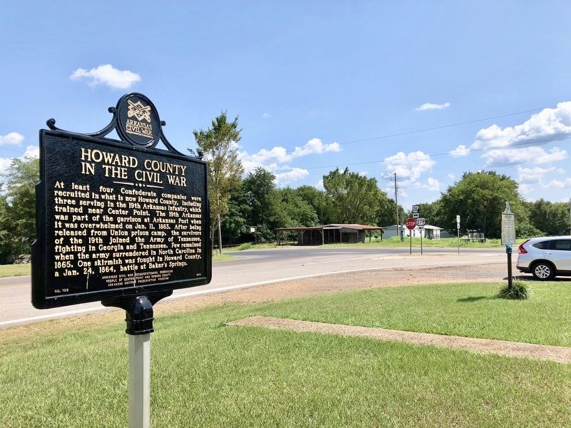
2. view from marker looking south at the U.S. 278/AR-26 intersection.
Photographed by Mark Hilton, August 2, 2018
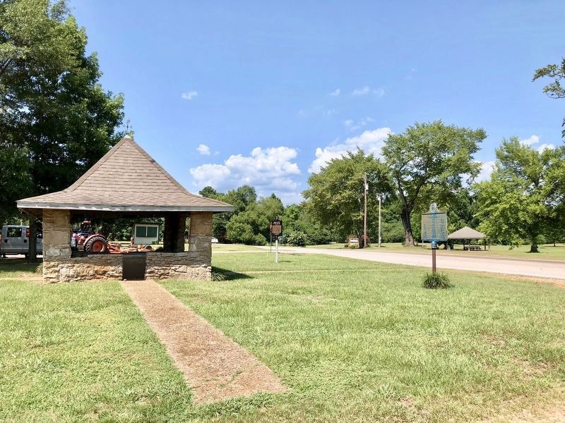
3. Looking north on U.S. 278 and the Jack & Helen Payne Memorial Park in far background.
Credits. This page was last revised on August 5, 2018. It was originally submitted on August 5, 2018, by Mark Hilton of Montgomery, Alabama. This page has been viewed 1,059 times since then and 57 times this year. Photos: 1, 2, 3. submitted on August 5, 2018, by Mark Hilton of Montgomery, Alabama.
