Narrowsburg in Sullivan County, New York — The American Northeast (Mid-Atlantic)
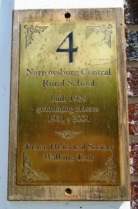
Narrowsburg Central Rural School
Tusten Historical Society Walking Tour
Photographed by William Fischer, Jr., July 10, 2018
1. Narrowsburg Central Rural School Marker
graduating classes
1931 - 2001
Erected by Tusten Historical Society. (Marker Number 4.)
Topics. This historical marker is listed in these topic lists: Education • Man-Made Features. A significant historical year for this entry is 1929.
Location. 41° 36.442′ N, 75° 3.513′ W. Marker is in Narrowsburg, New York, in Sullivan County. It is on Erie Avenue south of Bridge Street (New York State Route 52), on the left when traveling south. Touch for map. Marker is at or near this postal address: 7 Erie Avenue, Narrowsburg NY 12764, United States of America. Touch for directions.

Regionally, this marker is in Upstate New York and in the Hudson Valley. It is also in the American Northeast, in the Mid-Atlantic, in Appalachia, and specifically in Northern Appalachia. Globally, it is in North America, the Western Hemisphere, the Western World, and the Anglosphere. Historically, it finds itself in what was once New Netherland and also one of the original Thirteen Colonies.
Other nearby markers. At least 8 other markers are within walking distance of this marker: St. Paul's Evangelical Lutheran Church (about 300 feet away, measured in a direct line); Town of Tusten (about 300 feet away); Lutheran Church (about 400 feet away); Narrowsburg's History / Main Street (about 400 feet away); Tusten Town Hall (about 400 feet away); The Oasis (about 500 feet away); Dexter Manufacturing (about 600 feet away); Stranahan's Store (about 800 feet away). Touch for a list and map of all markers in Narrowsburg.
this page online
Photographed by William Fischer, Jr., July 10, 2018
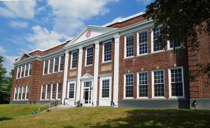
2. Narrowsburg Central Rural School and Marker
Photographed by Unknown, circa 1930s
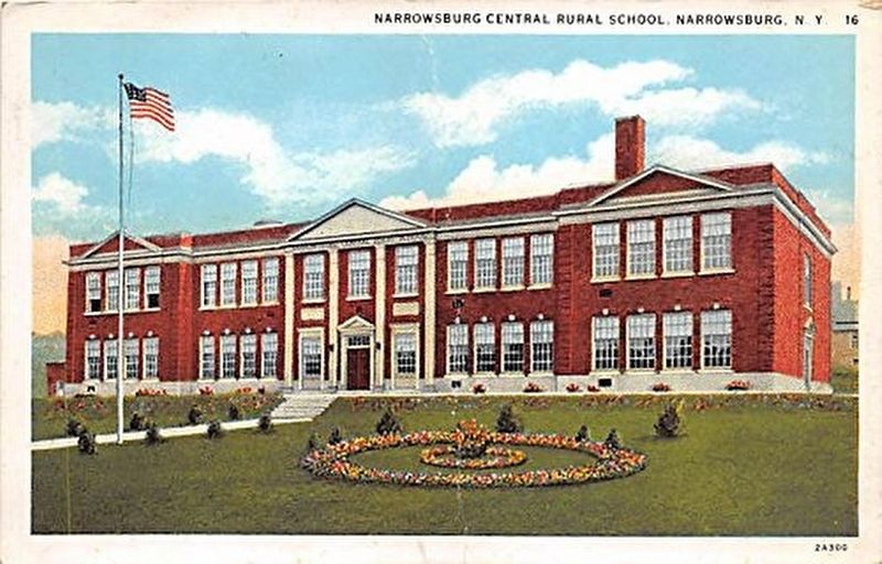
3. Narrowsburg Central Rural School Postcard
Credits. This page was last revised on February 25, 2022. It was originally submitted on August 5, 2018, by William Fischer, Jr. of Reynoldsburg, Ohio. This page has been viewed 610 times since then and 41 times this year. Photos: 1, 2, 3. submitted on August 5, 2018, by William Fischer, Jr. of Reynoldsburg, Ohio.
