Tulip in Dallas County, Arkansas — The American South (West South Central)
Arkansas Military Institute
⎯⎯⎯
Tulip in the Civil War
Photographed by Mark Hilton, August 2, 2018
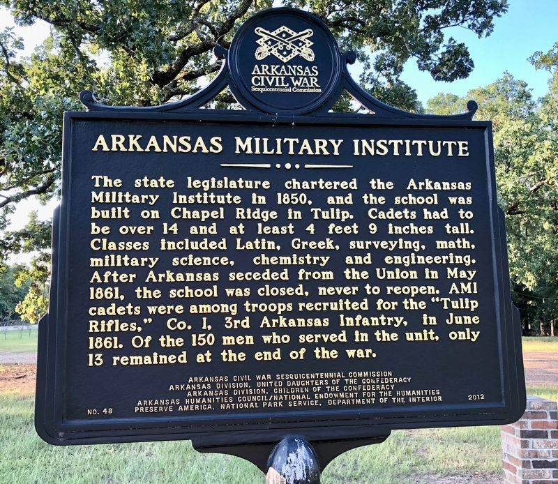
1. Arkansas Military Institute Marker
The state legislature chartered the Arkansas Military Institute in 1850, and the school was built on Chapel Ridge in Tulip. Cadets had to be over 14 and at least 4 feet 9 inches tall. Classes included Latin, Greek, surveying, math, military science, chemistry and engineering. After Arkansas seceded from the Union in May 1861, the school was closed, never to reopen. AMI cadets were among troops recruited for the Tulip Rifles, Co. I, 3rd Arkansas Infantry, in June 1861. Of the 150 men who served in the unit, only 13 remained at the end of the war.
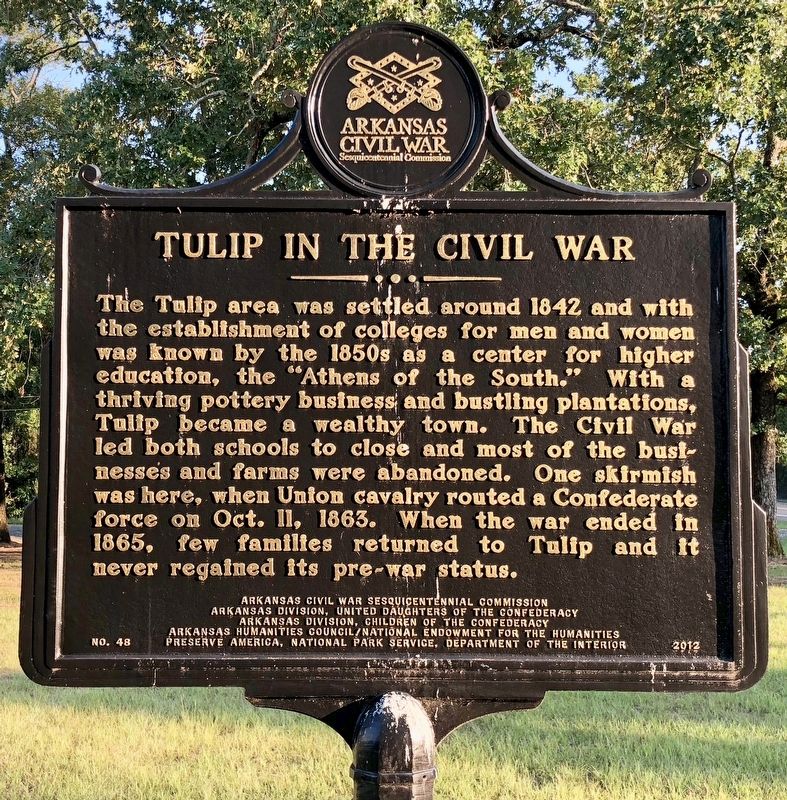
The Tulip area was settled around 1842 and with the establishment of colleges for men and women was known by the 1850s as a center for higher education, the Athens of the South. With a thriving pottery business and bustling plantations, Tulip became a wealthy town. The Civil War led both schools to close and most of the businesses and farms were abandoned. One skirmish was here, when Union cavalry routed a Confederate force on Oct. 11, 1863. When the war ended in 1865, few families returned to Tulip and it never regained
this page online
Erected 2012 by Arkansas Civil War Sesquicentennial Commission Arkansas Division, United Daughters of the Confederacy Arkansas Division, Children of the Confederacy, Arkansas Humanities Council/National Endowment for the Humanities Preserve America, National Park Service, Department of the Interior. (Marker Number 48.)
Topics and series. This historical marker is listed in these topic lists: Education • War, US Civil. In addition, it is included in the Arkansas Civil War Sesquicentennial Commission series list. A significant historical month for this entry is May 1861.
Location. 34° 5.091′ N, 92° 39.259′ W. Marker is in Tulip, Arkansas, in Dallas County. It is on Arkansas Route 9 0.2 miles north of County Road 409. Touch for map. Marker is in this post office area: Leola AR 72084, United States of America. Touch for directions.

Regionally, this marker is in Arkansas’ Gulf Coastal Plain. It is also in the American South, specifically in the Upper South, and in the Piney Woods. Globally, it is in North America, the Western Hemisphere, the Western World, and the Anglosphere. Historically, it finds
Photographed by Mark Hilton, August 2, 2018
2. Tulip in the Civil War Marker
Other nearby markers. At least 8 other markers are within 11 miles of this marker, measured as the crow flies: Old Tulip School House (within shouting distance of this marker); Tulip (within shouting distance of this marker); Skirmish at Guesses Creek (approx. 4.8 miles away); Carthage Historical Marker (approx. 5.8 miles away); Princeton, Arkansas (approx. 7.4 miles away); Officers Killed / Union Wounded (approx. 7.8 miles away); Manning, Arkansas (approx. 9.1 miles away); Red River Campaign (approx. 10.6 miles away). Touch for a list and map of all markers in Tulip.
Another marker is no longer nearby. Confederate Headquarters / Confederate Flank Attack (was approx. 7.6 miles away but has been confirmed missing).
Photographed by Mark Hilton, August 2, 2018
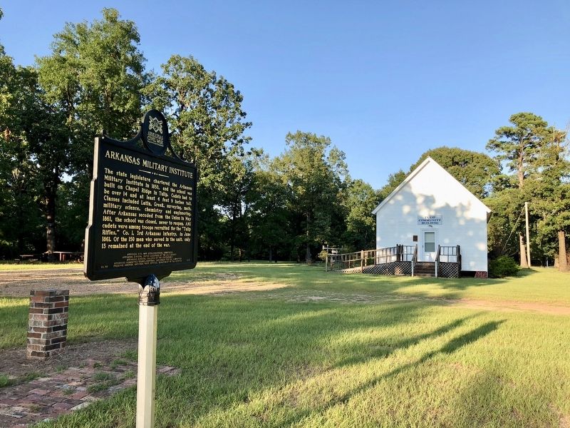
3. View of marker looking at the Tulip Community Center (Old Tulip School House).
Photographed by Mark Hilton, August 2, 2018
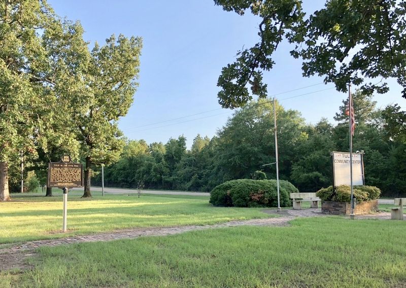
4. View of marker looking south on Arkansas Highway 9.
Credits. This page was last revised on August 6, 2018. It was originally submitted on August 6, 2018, by Mark Hilton of Montgomery, Alabama. This page has been viewed 1,092 times since then and 77 times this year. Photos: 1, 2, 3, 4. submitted on August 6, 2018, by Mark Hilton of Montgomery, Alabama.
