Near Weches in Houston County, Texas — The American South (West South Central)
Pine Springs Campground
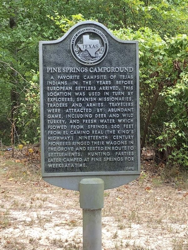
Photographed by Brian Anderson, July 28, 2018
1. Pine Springs Campground Marker
Erected 1972 by Texas Historical Commission. (Marker Number 12086.)
Topics. This historical marker is listed in these topic lists: Indigenous Peoples and Communities • Notable Places.
Location. 31° 28.554′ N, 95° 17.276′ W. Marker is near Weches, Texas, in Houston County. It is on State Highway 21 3½ miles east of Farm to Market Road 1733, on the right when traveling east. Touch for map. Marker is in this post office area: Grapeland TX 75844, United States of America. Touch for directions.

Regionally, this marker is in the American South, specifically in the Deep South,
this page online
Other nearby markers. At least 8 other markers are within 5 miles of this marker, measured as the crow flies: Kings Highway Camino Real — Old San Antonio Road (approx. 1½ miles away); Glover School (approx. 3.3 miles away); a different marker also named Kings Highway Camino Real — Old San Antonio Road (approx. 3.4 miles away); New Energy Cemetery (approx. 3.9 miles away); a different marker also named Kings Highway Camino Real — Old San Antonio Road (approx. 4.2 miles away); Augusta Union Church (approx. 4½ miles away); Hayes Park (approx. 4.6 miles away); Site of Old Town of Augusta (approx. 4.6 miles away). Touch for a list and map of all markers in Weches.
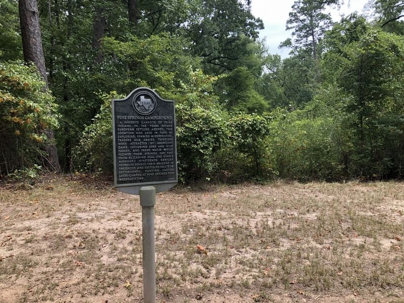
Photographed by Brian Anderson, July 28, 2018
2. Pine Springs Campground Marker
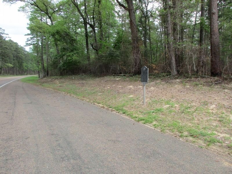
Photographed by Jeff Leichsenring, March 26, 2023
3. Pine Springs Campground Marker
Credits. This page was last revised on March 29, 2023. It was originally submitted on August 7, 2018, by Brian Anderson of New Albany, Ohio. This page has been viewed 1,109 times since then and 120 times this year. Photos: 1, 2. submitted on August 9, 2018, by Brian Anderson of New Albany, Ohio. 3. submitted on March 29, 2023, by Jeff Leichsenring of Garland, Texas. • Andrew Ruppenstein was the editor who published this page.
