El Dorado in Union County, Arkansas — The American South (West South Central)
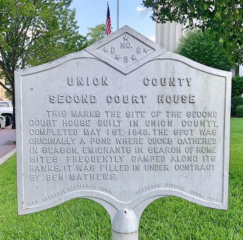
Union County Second Courthouse
Photographed by Mark Hilton, August 1, 2018
1. Union County Second Courthouse Marker
Erected 1936 by 1836 Arkansas Centennial Comm. - Arkansas History Comm. 1936. (Marker Number D-38.)
Topics and series. This historical marker is listed in these topic lists: Government & Politics • Notable Buildings • Waterways & Vessels. In addition, it is included in the Arkansas Centennial Commission series list. A significant historical date for this entry is May 1, 1848.
Location. 33° 12.747′ N, 92° 39.786′ W. Marker is in El Dorado, Arkansas, in Union County. It is at the intersection of East Elm Street and North Jefferson Avenue, on the right when traveling east on East Elm Street. Located on the Union County Courthouse lawn. Touch for map. Marker is at or near this postal address: 196 East Elm Street, El Dorado AR 71730, United States of America. Touch for directions.

Regionally, this marker is in Arkansas’ Gulf Coastal Plain and
this page online
Other nearby markers. At least 8 other markers are within walking distance of this marker: For Service in Iraq and Afghanistan (within shouting distance of this marker); The Gunfight on El Dorado's Courthouse Square, Oct. 9, 1902 (within shouting distance of this marker); The Gunfight on the Square (within shouting distance of this marker); First Union County Courthouse (within shouting distance of this marker); El Dorado Masonic Temple (within shouting distance of this marker); Oil in Arkansas — The Wildcatters (about 400 feet away, measured in a direct line); Oil in Arkansas — The Smackover Field (about 400 feet away); Oil in Arkansas — Chaos (about 400 feet away). Touch for a list and map of all markers in El Dorado.
Also see . . . Wikipedia article on the Union County Courthouse.
Photographed by Mark Hilton, August 1, 2018
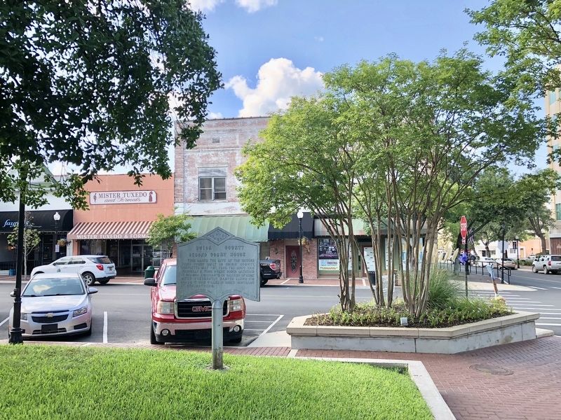
2. Union County Second Courthouse Marker looking north.
Photographed by Mark Hilton, August 1, 2018
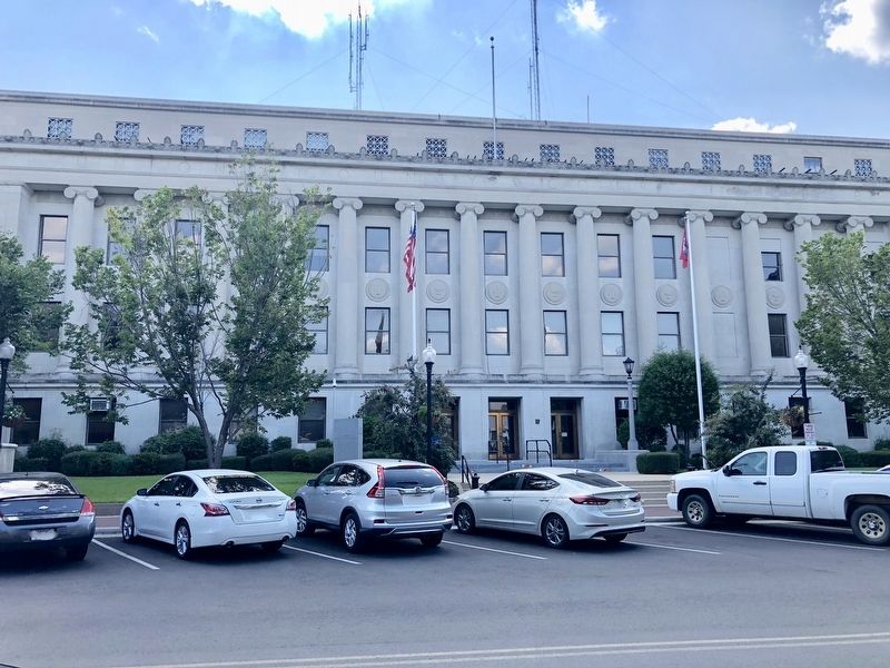
3. East side of the Union County Courthouse - marker is on far left out of view.
Credits. This page was last revised on August 7, 2018. It was originally submitted on August 7, 2018, by Mark Hilton of Montgomery, Alabama. This page has been viewed 459 times since then and 35 times this year. Photos: 1, 2, 3. submitted on August 7, 2018, by Mark Hilton of Montgomery, Alabama.
