New Haven in Franklin County, Missouri — The American Midwest (Upper Plains)
The Lewis and Clark Expedition Across Missouri
Inscription.
”Set out a 7 O’Clock after a hard rain & Wind, & proceed on verry well under Sale… The wind favourable today… we made 18 mile… wind & rain Closed the Day…”
William Clark, May 26, 1804
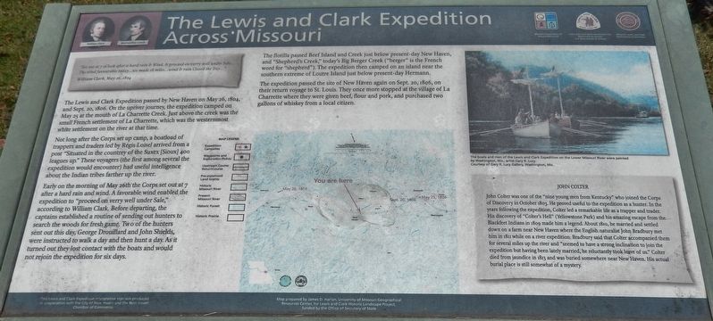
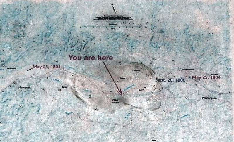
The Lewis and Clark Expedition passed by New Haven on May 26, 1804, and Sept 20, 1806. On the upriver journey, the expedition camped on May 25 at the mouth of La Charrette Creek. Just above the creek was the small French settlement of La Charrette, which was the westernmost white settlement on the river at that time.
Not long after the Corps set up camp, a boatload of trappers and traders led by Regis Loisel arrived from a post "Situated in the countrey of the Suxex [Sioux] 400 leagues up." These voyagers (the first among several the expedition would encounter) had useful intelligence about the Indian tribes farther up the river.
Early on the morning of May 26th the Corps set out at 7 after a hard rain and wind. A favorable wind enabled the expedition to “proceed on verry well under Sale," according to William Clark Before departing, the captains established a routine of sending out hunters to search the woods for fresh game. Two of the hunters sent out this day, George Drouillard and John Shields, were instructed to walk a day and then hunt a day. As it turned out they lost contact with the boats and would not rejoin the expedition for six days.
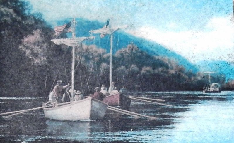
The flotilla passed Beef Island and Creek just below present-day New Haven, and "Shepherd's Creek," today's Big Berger Creek ("berger" is the French word for "shepherd"). The expedition then camped on an island near the southern extreme of Loutre Island just below present-day Hermann.
The expedition passed the site of New Haven again on Sept. 20, 1806, on their return voyage to St. Louis. They once more stopped at the village of La Charrette where they were given beef, flour and pork, and purchased two gallons of whiskey from a local citizen.
John Colter
John Colter was one of the "nine young men from Kentucky" who joined the Corps of Discovery in October 1803. He proved useful to the expedition as a hunter. In the years following the expedition, Colter led a remarkable life as a trapper and trader. His discovery of "Colter's Hell" (Yellowstone Park) and his amazing escape from the Blackfeet Indians in 1809 made him a legend. About 1810, he married and settled down on a farm near New Haven where the English naturalist John Bradbury met him in 1811 while on a river expedition. Bradbury said that Colter accompanied them for several miles up the river and "seemed to have a strong inclination to join the expedition but having been lately married, he reluctantly took leave of us.”
Colter died from jaundice in 1813 and was buried somewhere near New Haven. His actual burial place is still somewhat of a mystery.
Erected by Lewis and Clark National Historic Trail, City of New Haven, and the New Haven Chamber of Commerce.
Topics and series. This historical marker is listed in this topic list: Exploration. In addition, it is included in the Lewis & Clark Expedition series list. A significant historical date for this entry is May 26, 1804.
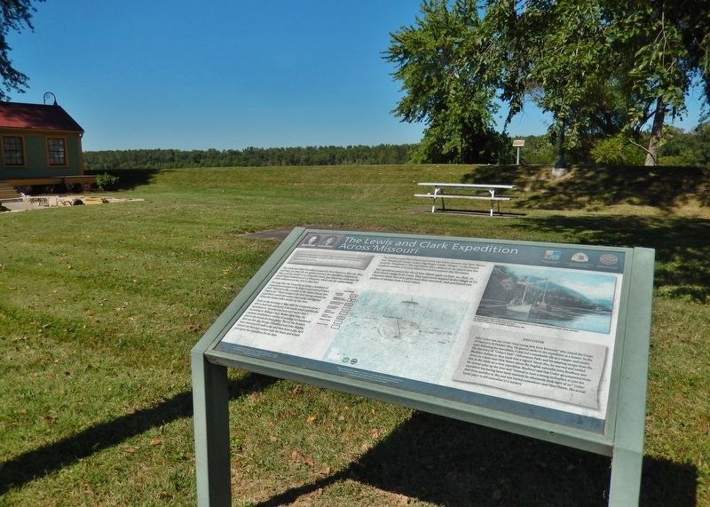
Location. 38° 36.904′ N, 91° 12.824′ W. Marker is in New Haven, Missouri, in Franklin County. Marker is on Main Street west of Miller Street, on the left when traveling east. Marker is located beside the sidewalk, on the north side of Main Street, across the street from the New Haven post office. Touch for map. Marker is in this post office area: New Haven MO 63068, United States of America. Touch for directions.
Other nearby markers. At least 8 other markers are within walking distance of this marker. Miller's Landing (within shouting distance of this marker); The Ferryboat Landing (within shouting distance of this marker); New Haven (within shouting distance of this marker); Private John Colter (within shouting distance of this marker); a different marker also named Private John Colter (within shouting distance of this marker); a different marker also named Private John Colter
(within shouting distance of this marker); Colter's Escape from the Blackfeet (within shouting distance of this marker); The Lewis and Clark Expedition (within shouting distance of this marker). Touch for a list and map of all markers in New Haven.
Related markers. Click here for a list of markers that are related to this marker. John Colter
Credits. This page was last revised on April 26, 2022. It was originally submitted on August 7, 2018, by Cosmos Mariner of Cape Canaveral, Florida. This page has been viewed 202 times since then and 28 times this year. Photos: 1, 2, 3, 4. submitted on August 9, 2018, by Cosmos Mariner of Cape Canaveral, Florida. • Bill Pfingsten was the editor who published this page.


