El Dorado in Union County, Arkansas — The American South (West South Central)
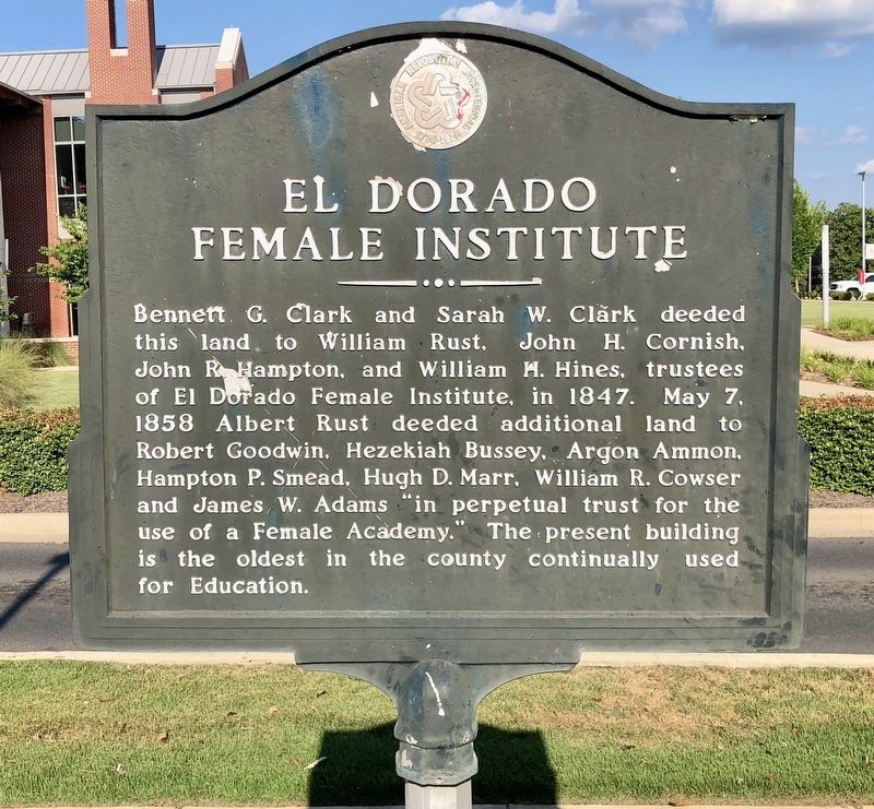
El Dorado Female Institute
Photographed by Mark Hilton, August 1, 2018
1. El Dorado Female Institute Marker
Erected 1976 by American Revolution Bicentennial Commission.
Topics. This historical marker is listed in these topic lists: Education • Women. A significant historical date for this entry is May 7, 1858.
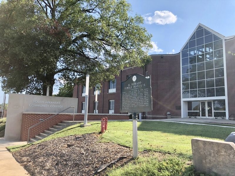
Location. 33° 12.571′ N, 92° 39.94′ W. Marker is in El Dorado, Arkansas, in Union County. It is on South West Avenue south of West Block Street, on the right when traveling south. Located in front of South Arkansas Community College-West Campus. Touch for map. Marker is at or near this postal address: 300 South West Avenue, El Dorado AR 71730, United States of America. Touch for directions.

Regionally, this marker is in Arkansas’ Gulf Coastal Plain
this page online
Other nearby markers. At least 8 other markers are within walking distance of this marker: Oil in Arkansas — The Discovery (approx. 0.2 miles away); Oil in Arkansas — Chaos (approx. 0.2 miles away); Oil in Arkansas — The Smackover Field (approx. 0.2 miles away); Oil in Arkansas — The Wildcatters (approx. 0.2 miles away); El Dorado Masonic Temple (approx. 0.2 miles away); For Service in Iraq and Afghanistan (approx. ¼ mile away); The Gunfight on the Square (approx. ¼ mile away); The Gunfight on El Dorado's Courthouse Square, Oct. 9, 1902 (approx. ¼ mile away). Touch for a list and map of all markers in El Dorado.
Regarding El Dorado Female Institute. Reverend William Lacy established a Presbyterian church in the new county seat.
Photographed by Mark Hilton, August 1, 2018
2. El Dorado Female Institute Marker at the South Arkansas Community College.
Photographed by Mark Hilton, August 1, 2018
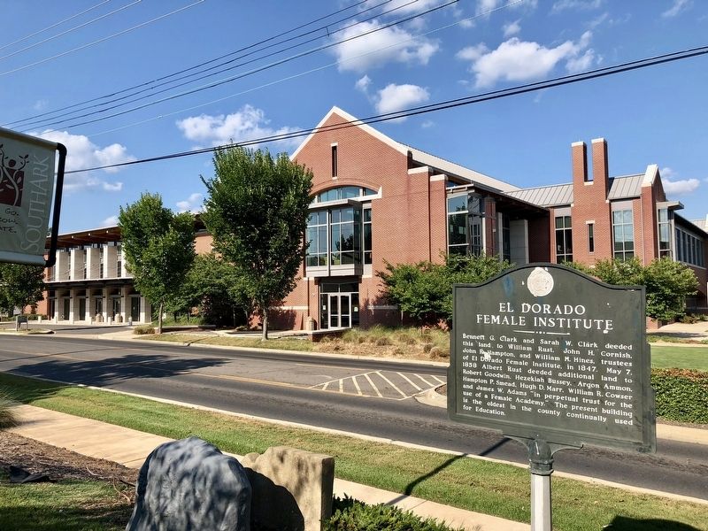
3. View from marker towards the El Dorado Conference Center.
Credits. This page was last revised on August 8, 2018. It was originally submitted on August 8, 2018, by Mark Hilton of Montgomery, Alabama. This page has been viewed 574 times since then and 32 times this year. Photos: 1, 2, 3. submitted on August 8, 2018, by Mark Hilton of Montgomery, Alabama.
