Wilton in Little River County, Arkansas — The American South (West South Central)
Mills Family Story
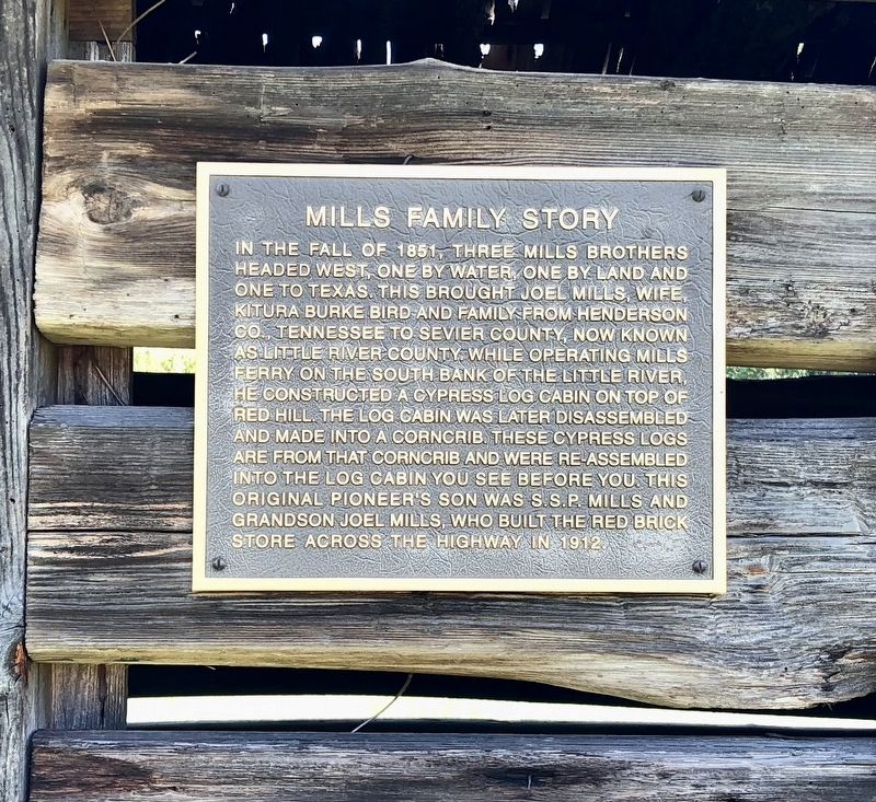
Photographed by Mark Hilton, August 2, 2018
1. Mills Family Story Marker
Topics. This historical marker is listed in these topic lists: Agriculture • Industry & Commerce • Notable Buildings. A significant historical year for this entry is 1851.
Location. 33° 44.419′ N, 94° 8.876′ W. Marker is in Wilton, Arkansas, in Little River County. It is at the intersection of U.S. 59/71 and Texarkana Avenue, on the right when traveling north on U.S. 59/71. Mounted to the wall of the cabin. Touch for map. Marker is in this post office area: Wilton
this page online

Regionally, this marker is in the Gulf Coastal Plain and in Caddo Territory. It is also in the American South, specifically in the Upper South, and in the Piney Woods. Globally, it is in North America, the Western Hemisphere, the Western World, and the Anglosphere. Historically, it finds itself in what was once New Spain, the territory of the Mississippian Culture, the Louisiana Purchase, one of the Confederate States of America, and the Antebellum South.
Other nearby markers. At least 8 other markers are within 14 miles of this marker, measured as the crow flies: Little River County (approx. 4.8 miles away); a different marker also named Little River County (approx. 4.8 miles away); Little River County War Memorial (approx. 4.8 miles away); Anderson Ferry (approx. 6.8 miles away); Original Site of Little River County Seat (approx. 6.8 miles away); Will Reed Farm Home (approx. 6.8 miles away); Confederate Camp at Richmond / Richmond Church and Cemetery (approx. 7.3 miles away); Sevier County in the Civil War (approx. 13.7 miles away).
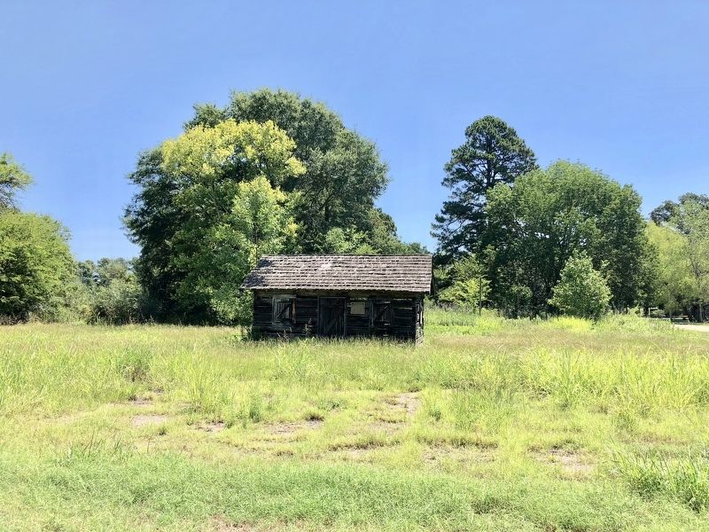
Photographed by Mark Hilton, August 2, 2018
2. Mills Family Story Marker to right of doorway.
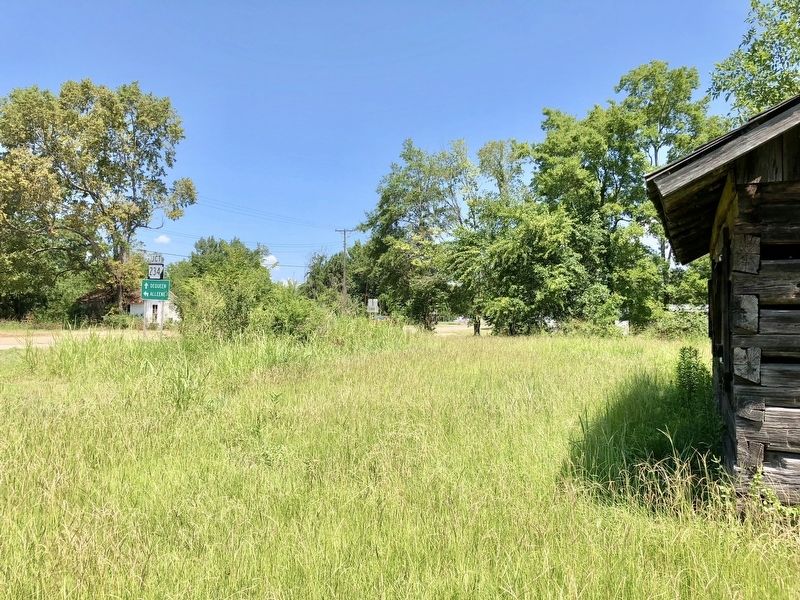
Photographed by Mark Hilton, August 2, 2018
3. View from cabin north towards Lockesburg.
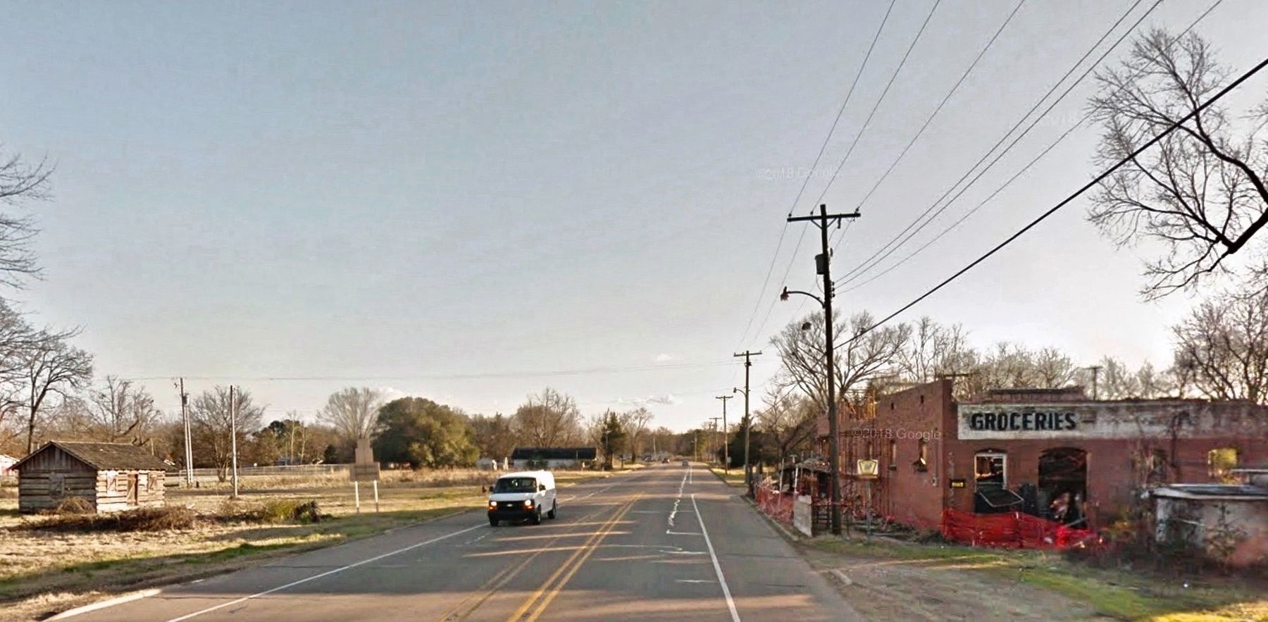
© Google Streetview, January 2016
4. Cabin on left, red brick store on right.
Credits. This page was last revised on November 24, 2024. It was originally submitted on August 8, 2018, by Mark Hilton of Montgomery, Alabama. This page has been viewed 1,010 times since then and 75 times this year. Photos: 1, 2, 3, 4. submitted on August 8, 2018, by Mark Hilton of Montgomery, Alabama.
