Sturbridge in Worcester County, Massachusetts — The American Northeast (New England)
The Graveyard
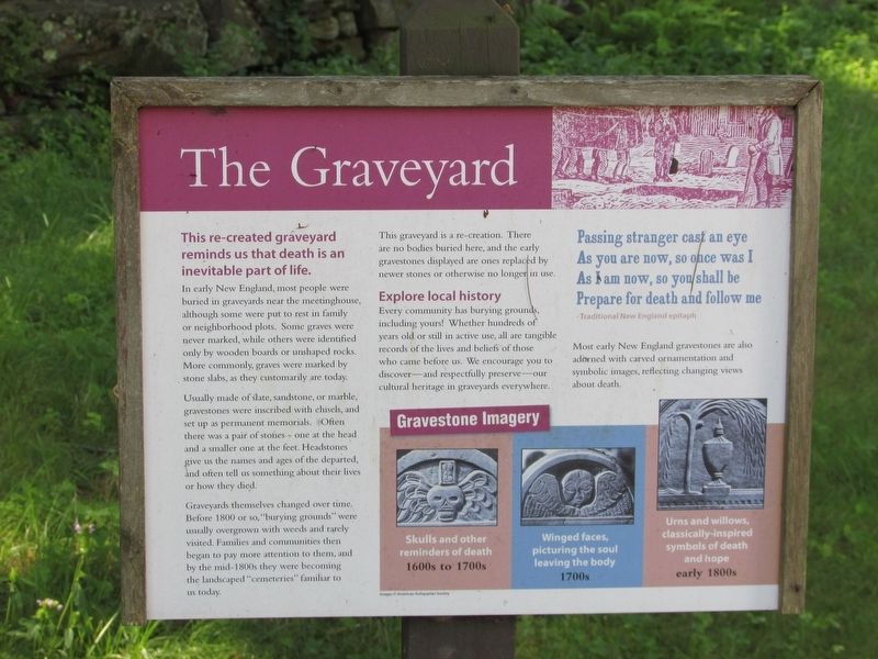
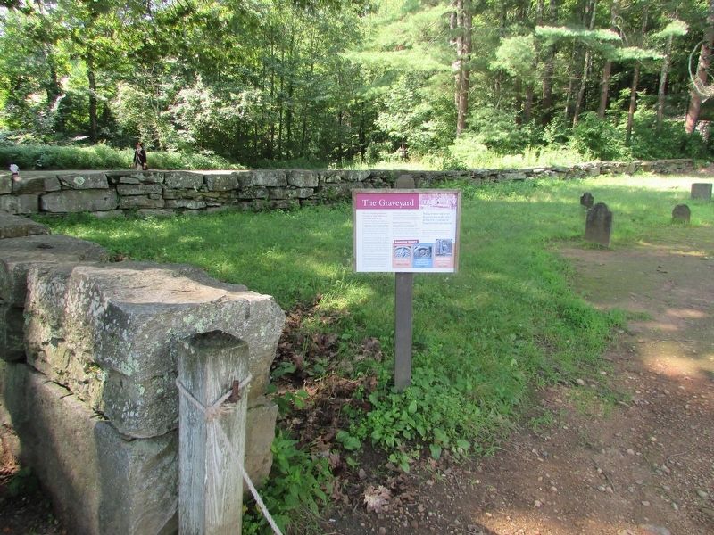
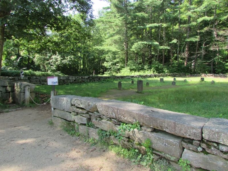
This re-created graveyard reminds us that death is an inevitable part of life.
In early New England, most people were buried in graveyards near the meetinghouse, although some were put to rest in family or neighborhood plots. Some graves were never marked, while others were identified only by wooden boards or unshaped rocks. More commonly, graves were marked by stone slabs, as they customarily are today.
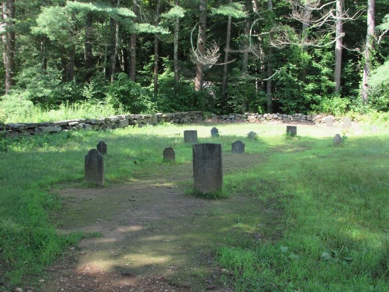
Usually made of slate, sandstone, or marble, gravestones were inscribed with chisels, and set up as permanent memorials. Often there were a pair of stones – one at the head and a smaller one at the feet. Headstones give us the names and ages of the departed, and often tell us something about their lives or how they died.
Graveyards themselves changed over time. Before 1800 or so, “burying grounds” were usually overgrown with weeds and rarely visited. Families and communities then began to pay more attention to them, and by the mid-1800s they were becoming the landscaped “cemeteries” familiar to us today.
This graveyard is a re-creation. There are no bodies buried here, and the early gravestones displayed are ones replaced by newer stones or otherwise in longer in use.
Explore local history
Every community has burying grounds, including yours! Whether hundreds of years old or still in active use, all are tangible records of the lives and beliefs of those who came before us. We encourage you to discover – and respectfully preserve – our cultural heritage in graveyards everywhere.
Passing stranger cast an eye
As you are now, so once was I
As I am now, so you shall be
Prepare for death and follow me.
- Traditional New England epitaph
Most early New England gravestones are also adorned with carved ornamentation and symbolic images, reflecting changing views about death.
Gravestone Imagery
1600s to 1700s
Winged faces, picturing the soul leaving the body
1700s
Urns and willows, classically-inspired symbols of death and hope
early 1800s
Topics. This historical marker is listed in this topic list: Cemeteries & Burial Sites.
Location. 42° 6.374′ N, 72° 5.937′ W. Marker is in Sturbridge, Massachusetts, in Worcester County. Marker is on Old Sturbridge Village Road. Touch for map. Marker is at or near this postal address: 1 Old Sturbridge Village Road, Sturbridge MA 01566, United States of America. Touch for directions.
Other nearby markers. At least 8 other markers are within walking distance of this marker. Controlling Livestock: The Town Pound (within shouting distance of this marker); Farming as a Way of Life (within shouting distance of this marker); The Fire Pit (within shouting distance of this marker); Fitch House Yard (about 300 feet away, measured in a direct line); Getting Water (about 500 feet away); Today we see a different view. (about 500 feet away); Where is the Farm? (about 500 feet away); Brooks Pottery Kiln (about 600 feet away). Touch for a list and map of all markers in Sturbridge.
More about this marker. Photographs of the various carvings on grave markers appear in the Gravestone Imagery sidebar.
Credits. This page was last revised on August 11, 2018. It was originally submitted on August 11, 2018, by Bill Coughlin of Woodland Park, New Jersey. This page has been viewed 149 times since then and 15 times this year. Photos: 1, 2, 3, 4. submitted on August 11, 2018, by Bill Coughlin of Woodland Park, New Jersey.


