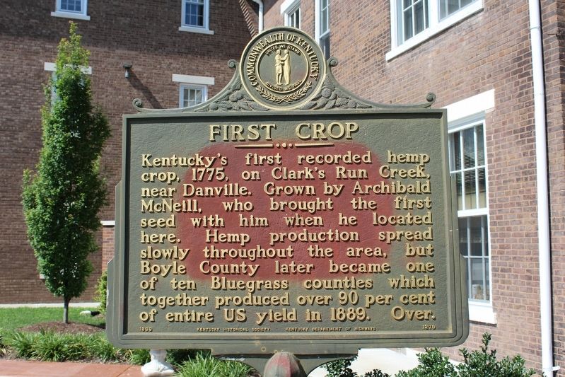
First Crop
⎯⎯⎯
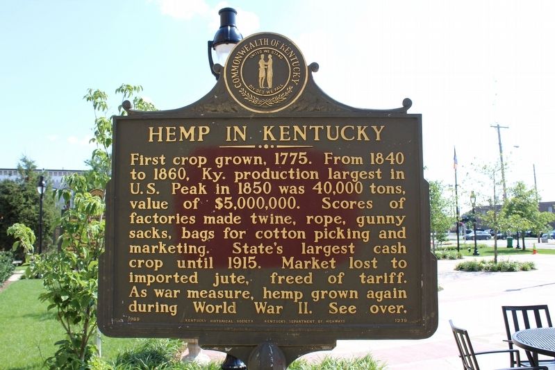
Hemp in Kentucky
(Reverse) First crop grown, 1775. From 1840 to 1860, Ky. production largest in U.S. Peak in 1850 was 40,000 tons, value of $5,000,000. Scores of factories made twine, rope, gunny sacks, bags for cotton picking and marketing. State's largest cash crop until 1915. Market lost to imported jute, freed of tariff. As war measure, hemp grown again during World War II. See over.
Erected 1969 by Kentucky Historical Society & Kentucky Department of Highways. (Marker Number 1279.)
Topics and series. This historical marker is listed in this topic list: Agriculture. In addition, it is included in the Kentucky Historical Society series list. A significant historical year for this entry is 1775.
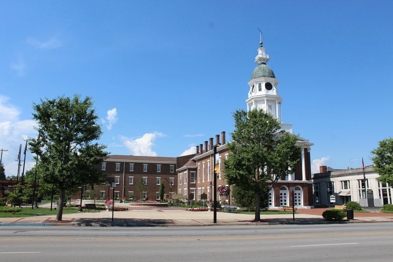
Location. 37° 38.783′ N, 84° 46.411′ W. Marker is in Danville, Kentucky, in Boyle County.
this page online

Regionally, this marker is in Kentucky’s Bluegrass Region. It is also in the American South and specifically in the Upper South. Globally, it is in North America, the Western Hemisphere, the Western World, and the Anglosphere. Historically, it finds itself in what was once the territory of the Mississippian Culture and also the Antebellum South.
Other nearby markers. At least 8 other markers are within walking distance of this marker: John Marshall Harlan / Kentucky's "Great Dissenter" (here, next to this marker); Courthouse a Hospital (a few steps from this marker); Poet, Lawyer and Soldier / Theodore O'Hara (a few steps from this marker); County Named, 1842 (a few steps from this marker); American Revolution Memorial (a few steps from this marker); Boyle County Veterans Memorial (within shouting distance of this marker); Trinity Episcopal Church (within shouting distance of this
Credits. This page was last revised on August 13, 2018. It was originally submitted on August 12, 2018, by Tom Bosse of Jefferson City, Tennessee. This page has been viewed 427 times since then and 18 times this year. Photos: 1, 2, 3. submitted on August 12, 2018, by Tom Bosse of Jefferson City, Tennessee. • Andrew Ruppenstein was the editor who published this page.
