Springfield in Washington County, Kentucky — The American South (East South Central)
Elmwood
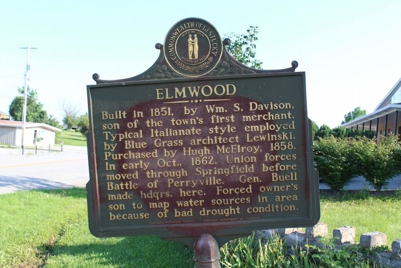
Photographed by Tom Bosse, July 4, 2018
1. Elmwood Marker
Erected 1967 by Kentucky Historical Society & Kentucky Department of Highways. (Marker Number 1040.)
Topics and series. This historical marker is listed in these topic lists: Architecture • War, US Civil. In addition, it is included in the Kentucky Historical Society series list. A significant historical year for this entry is 1851.
Location. 37° 40.546′ N, 85° 13.621′ W. Marker is in Springfield, Kentucky, in Washington County. It is on Lebanon Hill Road (Kentucky Route 528) north of Alma Avenue, on the left when traveling north. Touch for map. Marker is in this post office area: Springfield KY 40069, United States of America. Touch for directions.

Regionally, this marker is in The Knobs. It is also in the American South and specifically in the
this page online
Other nearby markers. At least 8 other markers are within walking distance of this marker: In Honor of Louis Sansbury (approx. 0.7 miles away); The Lincoln Legacy (approx. 0.7 miles away); Was President Lincoln Born Out-Of-Wedlock? (approx. 0.7 miles away); You are in The Holy Land! (approx. 0.7 miles away); Washington County (approx. 0.7 miles away); Lincoln - Hanks (approx. 0.7 miles away); War Memorial (approx. 0.7 miles away); Morgan in Springfield (approx. 0.7 miles away). Touch for a list and map of all markers in Springfield.
Also see . . . Elmwood. Kentucky Historical Society (Submitted on August 12, 2018, by Tom Bosse of Jefferson City, Tennessee.)
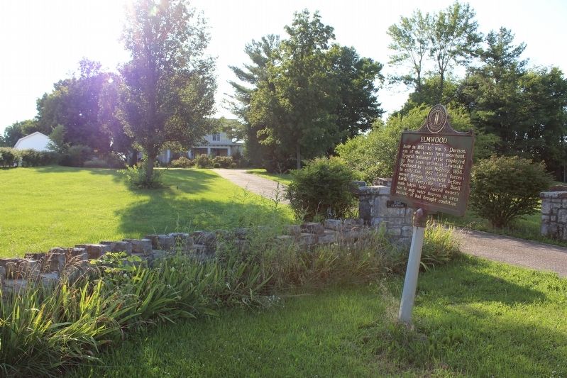
Photographed by Tom Bosse, July 4, 2018
2. Elmwood Marker
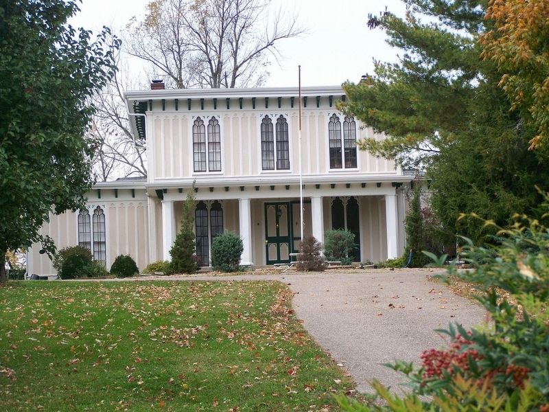
3. Elmwood
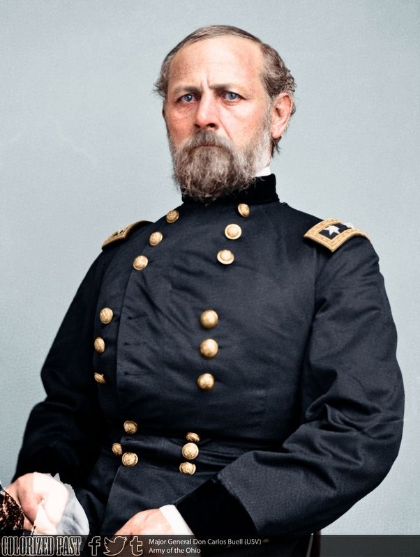
4. Major General Don Carlos Buell, U.S.A.
Credits. This page was last revised on August 13, 2018. It was originally submitted on August 12, 2018, by Tom Bosse of Jefferson City, Tennessee. This page has been viewed 866 times since then and 56 times this year. Photos: 1, 2, 3, 4. submitted on August 12, 2018, by Tom Bosse of Jefferson City, Tennessee. • Bernard Fisher was the editor who published this page.
