Purcell in McClain County, Oklahoma — The American South (West South Central)
Purcell
The Birthplace of Oklahoma
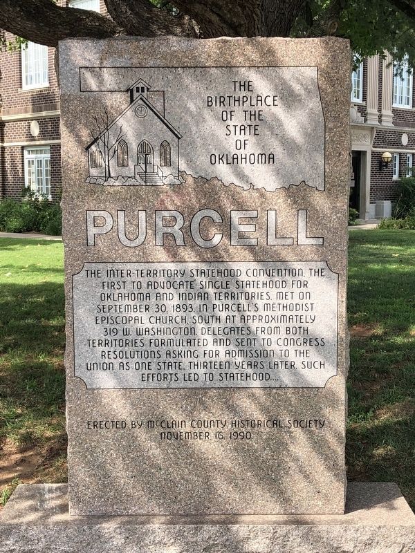
Photographed by Brian Anderson, August 11, 2018
1. Purcell Marker
Erected 1990 by McClain County Historical Society.
Topics. This historical marker is listed in these topic lists: Indigenous Peoples and Communities • Political Subdivisions • Settlements & Settlers. A significant historical date for this entry is September 30, 1893.
Location. 35° 0.807′ N, 97° 21.67′ W. Marker is in Purcell, Oklahoma, in McClain County. It is at the intersection of North 2nd Avenue and West Washington Street (State Highway 39), on the right when traveling south on North 2nd Avenue. Marker is located on the courthouse grounds. Touch for map. Marker is at or near this postal address: 121 North 2nd Avenue, Purcell OK 73080, United States of America. Touch for directions.

Regionally, this marker is in the Chickasaw
this page online
Other nearby markers. At least 8 other markers are within 2 miles of this marker, measured as the crow flies: 46th State (about 500 feet away, measured in a direct line); Confederate Memorial (about 500 feet away); Hotel Love (about 500 feet away); Desert Storm Honor Roll (about 500 feet away); The James C. Nance Bridge (about 700 feet away); Lexington-Purcell Toll Bridges (approx. 0.9 miles away); Run of '89 South Boundary (approx. 1½ miles away); Col. John L. Smith (approx. 1½ miles away). Touch for a list and map of all markers in Purcell.
Also see . . .
1. Purcell - The Encyclopedia of Oklahoma History and Culture. Oklahoma Historical Society (Submitted on August 13, 2018, by Brian Anderson of New Albany, Ohio.)
2. Statehood Movement - The Encyclopedia of Oklahoma History and Culture.
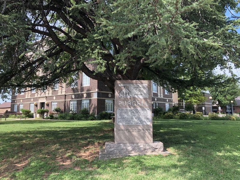
Photographed by Brian Anderson, August 11, 2018
2. Purcell Marker
Credits. This page was last revised on December 30, 2024. It was originally submitted on August 13, 2018, by Brian Anderson of New Albany, Ohio. This page has been viewed 501 times since then and 43 times this year. Photos: 1, 2. submitted on August 13, 2018, by Brian Anderson of New Albany, Ohio. • Andrew Ruppenstein was the editor who published this page.
