Marietta in Love County, Oklahoma — The American South (West South Central)
Love County
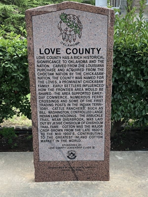
Photographed by Brian Anderson, August 11, 2018
1. Love County Marker
Erected 2007 by Love County Leadership Class IV.
Topics. This historical marker is listed in these topic lists: Indigenous Peoples and Communities • Settlements & Settlers.
Location. 33° 56.233′ N, 97° 7.249′ W. Marker is in Marietta, Oklahoma, in Love County. It is on West Main Street (State Highway 32), on the right when traveling east.
this page online

Regionally, this marker is in the Chickasaw Nation and in South Central Oklahoma—Chickasaw Country. It is also in the American South, specifically on the prairies, and on the Southern Plains. Globally, it is in North America, the Western Hemisphere, the Western World, and the Anglosphere. Historically, it finds itself in what was once New Spain, the territory of the Mississippian Culture, and the Louisiana Purchase.
Other nearby markers. At least 4 other markers are within 14 miles of this marker, measured as the crow flies: Love County Courthouse (within shouting distance of this marker); Love County Veterans Memorial (within shouting distance of this marker); Edmund Pickens (approx. 8.3 miles away); Civilian Conservation Corps and Lake Murray State Park (approx. 13.6 miles away).
Also see . . . Love County - The Encyclopedia of Oklahoma History and Culture. Oklahoma Historical Society (Submitted on August 13, 2018, by Brian Anderson of New Albany, Ohio.)
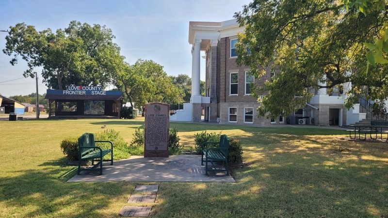
Photographed by James Hulse, September 19, 2025
2. The view of the Love County Marker in front of the county courthouse
Credits. This page was last revised on September 23, 2025. It was originally submitted on August 13, 2018, by Brian Anderson of New Albany, Ohio. This page has been viewed 518 times since then and 56 times this year. Photos: 1. submitted on August 13, 2018, by Brian Anderson of New Albany, Ohio. 2. submitted on September 23, 2025, by James Hulse of Medina, Texas. • Andrew Ruppenstein was the editor who published this page.
