Near Joseph in Nez Perce County, Idaho — The American West (Mountains)
Bredell Family Cemetery
Photographed by Barry Swackhamer, May 6, 2018
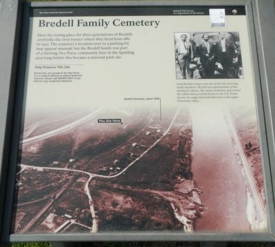
1. Bredell Family Cemetery Marker
Caption: (upper right) Noah Bredell (center) was one of the last surviving family members. His life was representative of the mixing of cultures. He raised racehorses and owned the stables that provided horses to the U.S. Postal Service for stagecoach mail deliveries to the upper Clearwater valley.; (background) Bird's-eye-view of the Bredells farm
Erected by Nez Perce National Historical Park.
Topics. This historical marker is listed in this topic list: Cemeteries & Burial Sites.
Location. 46° 26.832′ N, 116° 49.482′ W. Marker is near Joseph, Idaho, in Nez Perce County. It can be reached from U.S. 95 near 402 Road, on the right when traveling north. This marker is located near the visitors center at Nez Perce National Historical Park, Spalding's Mission site. Touch for map. Marker is at or near this postal address: 39063 U.S Highway 95, Lapwai ID 83540, United States of America. Touch for directions.

Regionally, this marker is in North Idaho — Idaho’s Panhandle, on Nez Perce Tribal Land, and in the Palouse. It is also in the American Mountain West, specifically in the Pacific Northwest,
this page online
Other nearby markers. At least 8 other markers are within walking distance of this marker: Nez Perce Village Site (about 600 feet away, measured in a direct line); Indian Agent's Residence (approx. 0.3 miles away); Coming of the Railroad (approx. 0.3 miles away); Watson's Store (approx. 0.4 miles away); Spalding’s Presbyterian Church (approx. 0.4 miles away); Spalding’s Gristmill Canals (approx. 0.4 miles away); Spalding's Mission (approx. half a mile away); Lapwai Mission Cemetery (approx. half a mile away).
Photographed by Barry Swackhamer, May 6, 2018
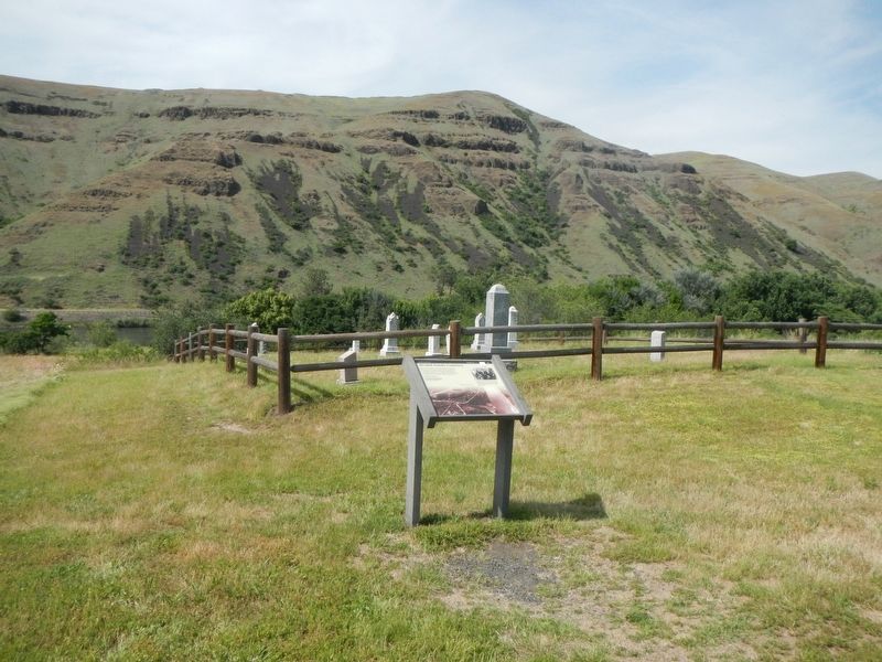
2. Bredell Family Cemetery and Marker
Photographed by Barry Swackhamer, May 6, 2018
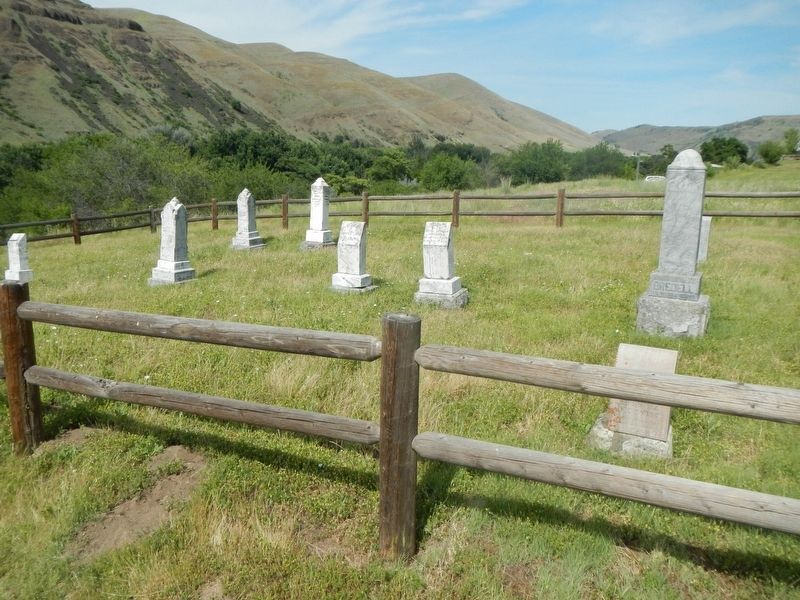
3. Bredell Family Cemetery
Credits. This page was last revised on August 13, 2018. It was originally submitted on August 13, 2018, by Barry Swackhamer of Brentwood, California. This page has been viewed 414 times since then and 32 times this year. Photos: 1, 2, 3. submitted on August 13, 2018, by Barry Swackhamer of Brentwood, California.
