
Near Mule Creek in Grant County, New Mexico — The American Mountains (Southwest)
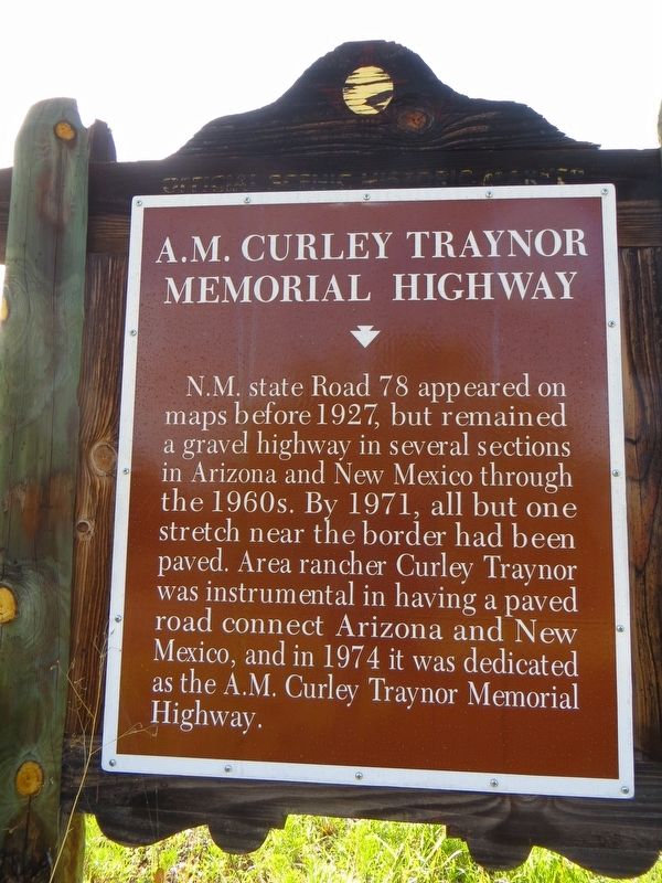
A.M. Curley Traynor Memorial Highway
Photographed by Bill Kirchner, August 11, 2018
1. A.M. Curley Traynor Memorial Highway Marker
Erected by New Mexico Historic Preservation Division.
Topics. This historical marker is listed in this topic list: Roads & Vehicles. A significant historical year for this entry is 1927.
Location. 33° 6.437′ N, 109° 2.809′ W. Marker is near Mule Creek, New Mexico, in Grant County. It is on State Road 78 at milepost 0.1, on the right when traveling east. Touch for map. Marker is in this post office area: Mule Creek NM 88051, United States of America. Touch for directions.

Regionally, this marker is in Southwest New Mexico. It is also in the American Southwest. Globally, it is in North America, the Western Hemisphere, the Western World, and the Anglosphere. Historically, it finds itself in what was once New Spain and also the Gadsden Purchase.
this page online
Photographed by Bill Kirchner, August 11, 2018
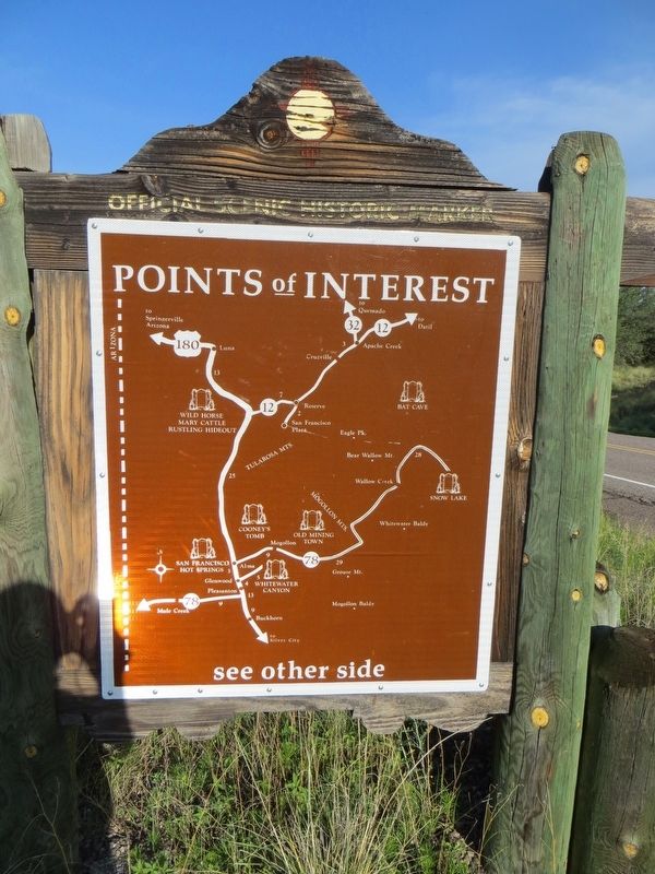
2. Back of A.M. Curley Traynor Memorial Highway Marker
Points of Interest
New Mexico's Historic Markers typically have a map on the back side showing the location of other OSHM's. This is an excellent source of information when exploring for other Historical Markers and locations.
New Mexico's Historic Markers typically have a map on the back side showing the location of other OSHM's. This is an excellent source of information when exploring for other Historical Markers and locations.
Photographed by Bill Kirchner, August 11, 2018
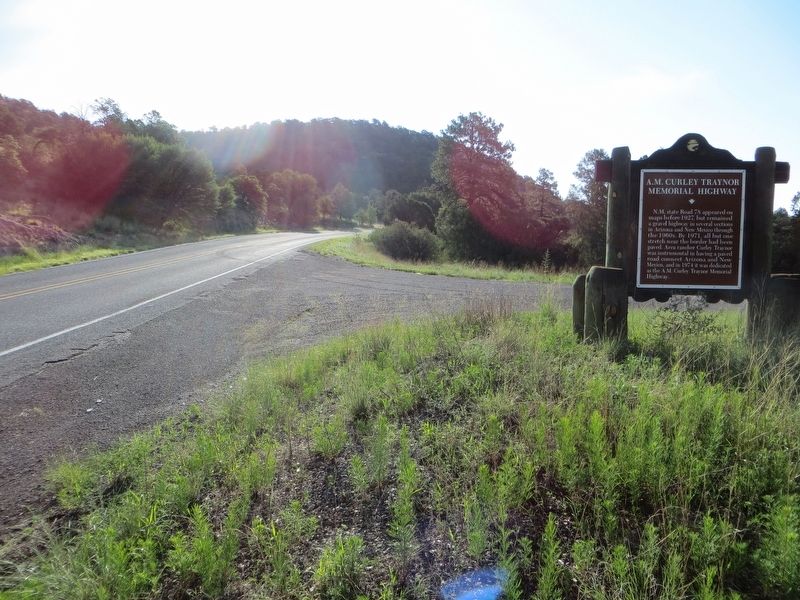
3. A.M. Curley Traynor Memorial Highway Marker
View east on NM-78
Photographed by Bill Kirchner, August 11, 2018
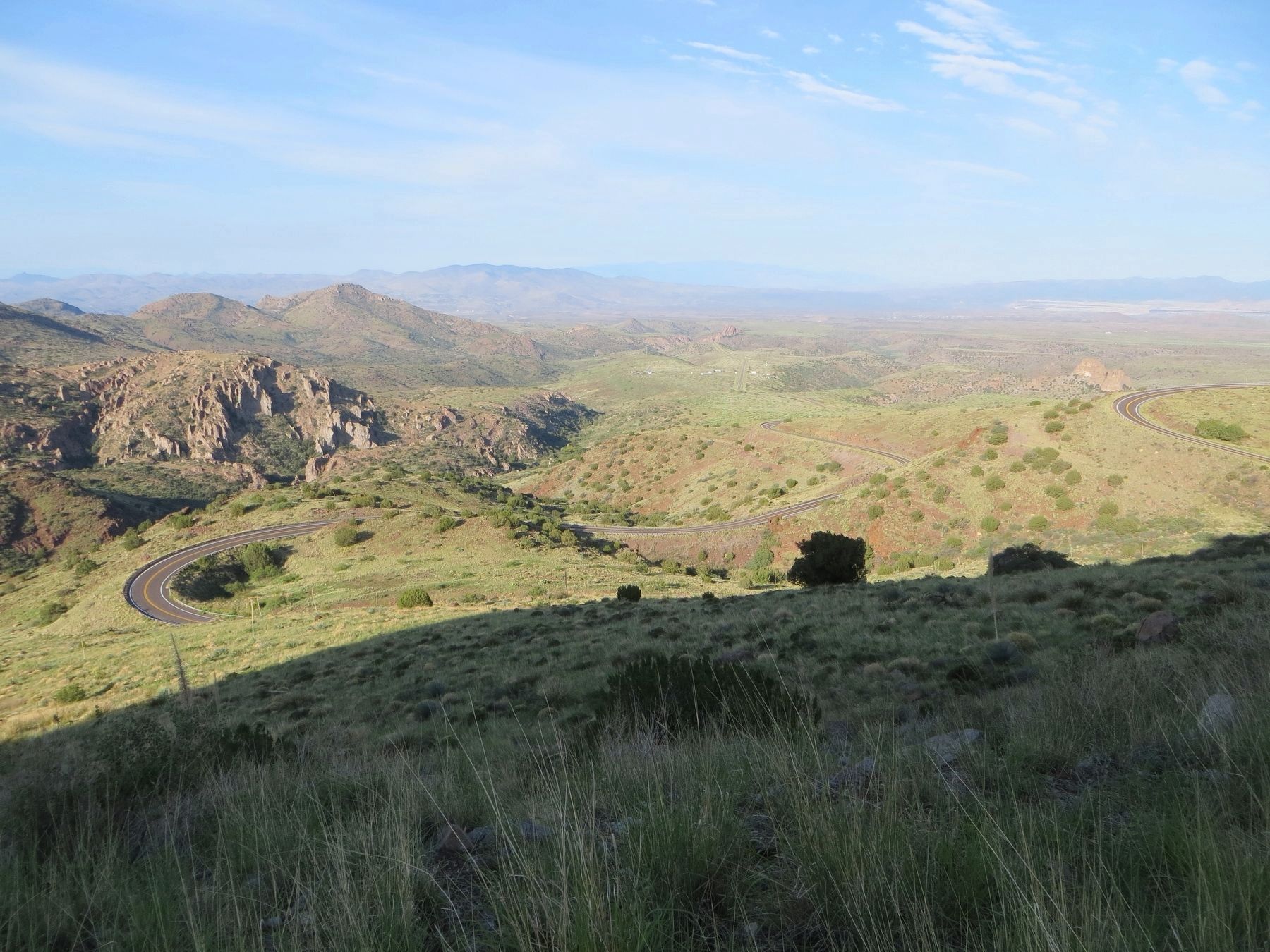
4. A.M. Curley Traynor Memorial Highway
View west on Arizona highway 78.
Credits. This page was last revised on August 15, 2018. It was originally submitted on August 13, 2018, by Bill Kirchner of Tucson, Arizona. This page has been viewed 502 times since then and 40 times this year. Photos: 1, 2, 3. submitted on August 13, 2018, by Bill Kirchner of Tucson, Arizona. 4. submitted on August 15, 2018, by Bill Kirchner of Tucson, Arizona.
