Kelseyville in Lake County, California — The American West (Pacific Coastal)
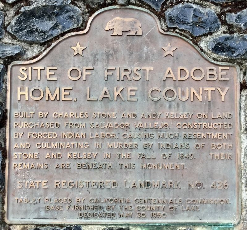
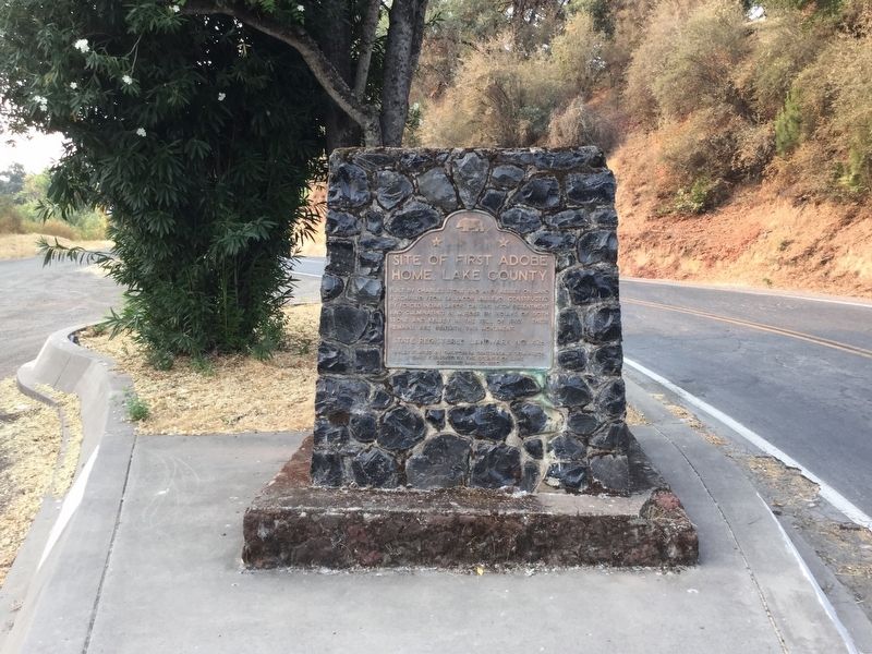
Site of First Adobe Home, Lake County
Erected 1950 by California Centennials Commission, and Lake County. (Marker Number 426.)
Topics and series. This historical marker is listed in these topic lists: Native Americans • Settlements & Settlers. In addition, it is included in the California Historical Landmarks series list. A significant historical year for this entry is 1849.
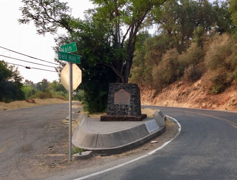
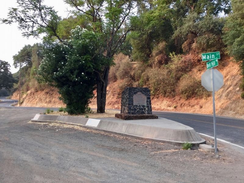
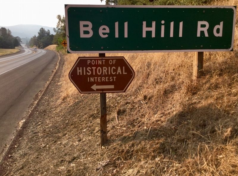
Location. 38° 58.707′ N, 122° 50.605′ W. Marker is in Kelseyville, California, in Lake County. Marker is at the intersection of Bell Hill Road (County Road 510) and Main Street, on the right when traveling north on Bell Hill Road. Touch for map. Marker is in this post office area: Kelseyville CA 95451, United States of America. Touch for directions.
Other nearby markers. At least 8 other markers are within 14 miles of this marker, measured as the crow flies. Lake County Courthouse (approx. 5.9 miles away); Ranch House (approx. 8.6 miles away); Sulphur Bank Mine (approx. 10.9 miles away); The Pomo (approx. 12 miles away); Clear Lake Habitat (approx. 12 miles away); Bloody Island (Bo-no-po-ti) (approx. 12 miles away); Bloody Island (approx. 12.1 miles away); Drug and Prescription Store (approx. 13.3 miles away).
Related marker. Click here for another marker that is related to this marker. Bloody Island (Bo-no-po-ti)
Credits. This page was last revised on August 14, 2018. It was originally submitted on August 14, 2018, by Craig Baker of Sylmar, California. This page has been viewed 399 times since then and 70 times this year. Photos: 1, 2, 3, 4, 5. submitted on August 14, 2018, by Craig Baker of Sylmar, California. • Syd Whittle was the editor who published this page.
