Near Sharpsburg in Washington County, Maryland — The American Northeast (Mid-Atlantic)
Snavely's Ford
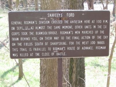
Photographed by Craig Swain, March 29, 2008
1. Snavely's Ford Marker
Topics. This historical marker is listed in this topic list: War, US Civil. A significant historical month for this entry is September 1785.
Location. Marker has been reported missing. It was located near 39° 26.452′ N, 77° 44.042′ W. Marker was near Sharpsburg, Maryland, in Washington County. It could be reached from Old Burnside Bridge Road, on the right when traveling south. Located along a walking trail to Snavely's Ford, which starts at the parking area for stop 9, Burnside Bridge, of the driving tour of Antietam Battlefield. Touch for map. Marker was in this post office area: Sharpsburg MD 21782, United States of America. Touch for directions.

Regionally, this marker was in Western Maryland. It was also in the American Mid-Atlantic,
this page online
Other nearby markers. At least 8 other markers are within walking distance of this location: 12th Ohio Volunteer Infantry (approx. half a mile away); We Poured Volley After Volley, Doubtless With Terrible Execution (approx. half a mile away); 16th Connecticut Volunteer Infantry (approx. 0.6 miles away); William McKinley (approx. 0.6 miles away); The Burnside Bridge (approx. 0.6 miles away); Jackson's Command (approx. 0.6 miles away); As The Georgians Saw It (approx. 0.6 miles away); 1st Battery Ohio Light Artillery (approx. 0.6 miles away). Touch for a list and map of all markers in Sharpsburg.
Another marker is no longer nearby. Walker's Division, Longstreet's Command (was approx. 0.6 miles away but has been confirmed missing).
Also see . . . Antietam Battlefield. National Park Service site. (Submitted on April 1, 2008, by Craig Swain of Leesburg, Virginia.)
Additional commentary.
1.
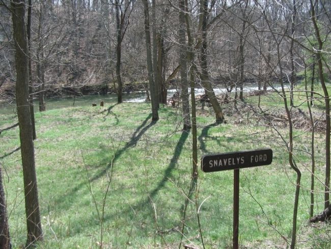
Photographed by Craig Swain, March 29, 2008
2. Snavely's Ford
I would like to note that Snavely's Ford itself is a private tract of land, as it was during the battle, and is NOT open to the public. The picture shown in your website shows that privately owned land. The signpost marking Snavely's Ford is, however, on National Park property and is reachable via the trail as noted.
— Submitted March 13, 2009.
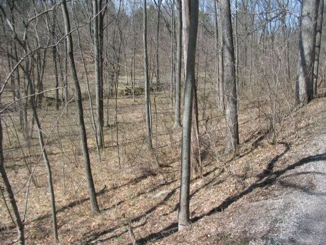
Photographed by Craig Swain, March 29, 2008
3. Rodman's Line of Advance
Rodman's Division marched up the ravine in the direction of Sharpsburg. The arrival of Rodman's force on west side of the creek, coupled with the forcing of the Burnside Bridge by the two 51sts, forced Toombs' Brigade away from the creek crossing sites.
Credits. This page was last revised on August 18, 2018. It was originally submitted on April 1, 2008, by Craig Swain of Leesburg, Virginia. This page has been viewed 2,798 times since then and 89 times this year. Last updated on August 14, 2018, by Shane Oliver of Richmond, Virginia. Photos: 1, 2, 3. submitted on April 1, 2008, by Craig Swain of Leesburg, Virginia. • Andrew Ruppenstein was the editor who published this page.
