
Near Hanover in Grant County, New Mexico — The American Mountains (Southwest)
Mimbres Valley
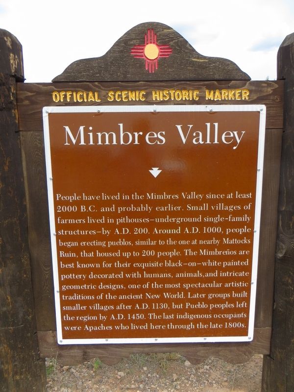
Photographed by Bill Kirchner, August 11, 2018
1. Mimbres Valley Marker
Erected by New Mexico Historic Preservation Division.
Topics. This historical marker is listed in this topic list: Indigenous Peoples and Communities. A significant historical year for this entry is 2000.
Location. 32° 48.054′ N, 107° 55.927′ W. Marker is near Hanover, New Mexico, in Grant County. It is on State Road 35 0.2 miles north of State Road 152, on the right when traveling north. Touch for map. Marker
this page online

Regionally, this marker is in Southwest New Mexico. It is also in the American Southwest. Globally, it is in North America, the Western Hemisphere, the Western World, and the Anglosphere. Historically, it finds itself in what was once New Spain and also the Gadsden Purchase.
Other nearby markers. At least 8 other markers are within 9 miles of this marker, measured as the crow flies: The Mattocks Ruin (approx. 3.4 miles away); The Discovery (approx. 8.2 miles away); The Early Mining Years (approx. 8.2 miles away); Open Pit Mining (approx. 8.2 miles away); The Companies & People (approx. 8.2 miles away); Santa Rita Copper Mine (approx. 8.2 miles away); Modern Mining & Processing (approx. 8.2 miles away); Reclaiming the Land (approx. 8.2 miles away).
Photographed by Bill Kirchner, August 11, 2018
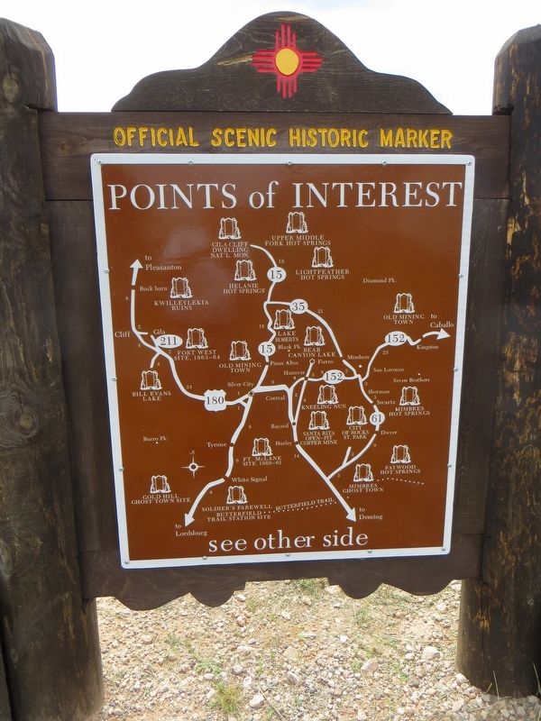
2. Mimbres Valley Marker Back of Marker
Points of Interest
New Mexico's Historic Markers typically have a map on the back side showing the location of other OSHM's. This is an excellent source of information when exploring for other Historical Markers and locations.
New Mexico's Historic Markers typically have a map on the back side showing the location of other OSHM's. This is an excellent source of information when exploring for other Historical Markers and locations.
Photographed by Bill Kirchner, August 11, 2018
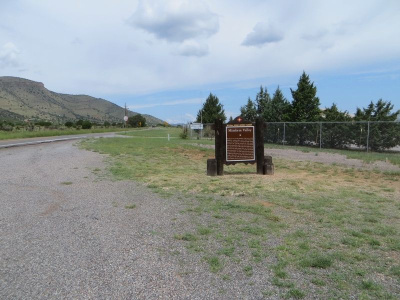
3. Mimbres Valley Marker
Credits. This page was last revised on August 15, 2018. It was originally submitted on August 15, 2018, by Bill Kirchner of Tucson, Arizona. This page has been viewed 778 times since then and 64 times this year. Photos: 1, 2, 3. submitted on August 15, 2018, by Bill Kirchner of Tucson, Arizona.
