Bainbridge in Decatur County, Georgia — The American South (South Atlantic)
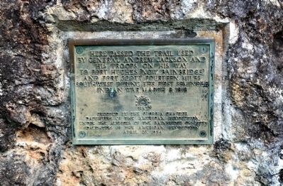
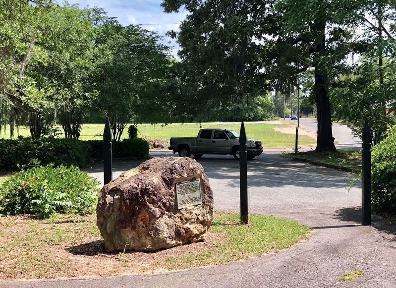
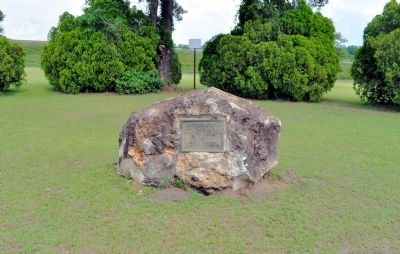
General Andrew Jackson Trail
Erected 1934 by Georgia Chapter, Daughters of the American Revolution under the auspices of the Bainbridge Chapter, Daughters of the American Revolution.
Topics and series. This historical marker is listed in these topic lists: Roads & Vehicles • Wars, US Indian. In addition, it is included in the Daughters of the American Revolution, and the Former U.S. Presidents: #07 Andrew Jackson series lists. A significant historical month for this entry is March 1931.
Location. 30° 54.488′ N, 84° 34.755′ W. Marker is in Bainbridge, Georgia, in Decatur County. Marker can be reached from the intersection of West Jackson Street and North Florida Street, on the right when traveling west. Located in Chason Park. Touch for map. Marker is at or near this postal address: West Jackson Street, Bainbridge GA 39818, United States of America. Touch for directions.
Other nearby markers. At least 8 other markers are within walking distance of this marker. The Battle of Fowltown (a few steps from this marker); The Second Creek War and Removal in the Decatur County Area (a few steps from this marker); Decatur County During the Creek and Seminole Wars Era (a few steps from this marker); The First Seminole War in Decatur County (a few steps from this marker); Fort Scott Memorial (within shouting distance of this marker); The J.D. Chason Memorial Park / The J.D. Chason Memorial Park History (within shouting distance of this marker); Fort Hughes (about 800 feet away, measured in a direct line); Decatur County (approx. 0.2 miles away). Touch for a list and map of all markers in Bainbridge.
More about this marker. The rock was originally located in a grassy area near the exit ramp at the Boat Basin but because it was not in a location that people could park at, it was moved to Chason Park.
Credits. This page was last revised on June 6, 2020. It was originally submitted on June 7, 2012, by David Seibert of Sandy Springs, Georgia. This page has been viewed 876 times since then and 38 times this year. Last updated on August 15, 2018, by Douglass Halvorsen of Klamath Falls, Oregon. Photos: 1. submitted on June 7, 2012, by David Seibert of Sandy Springs, Georgia. 2. submitted on May 6, 2018, by Mark Hilton of Montgomery, Alabama. 3. submitted on June 7, 2012, by David Seibert of Sandy Springs, Georgia. • Syd Whittle was the editor who published this page.


