Near Lewiston in Nez Perce County, Idaho — The American West (Mountains)
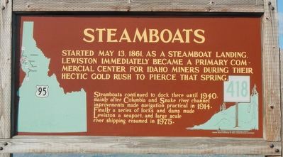
Steamboats
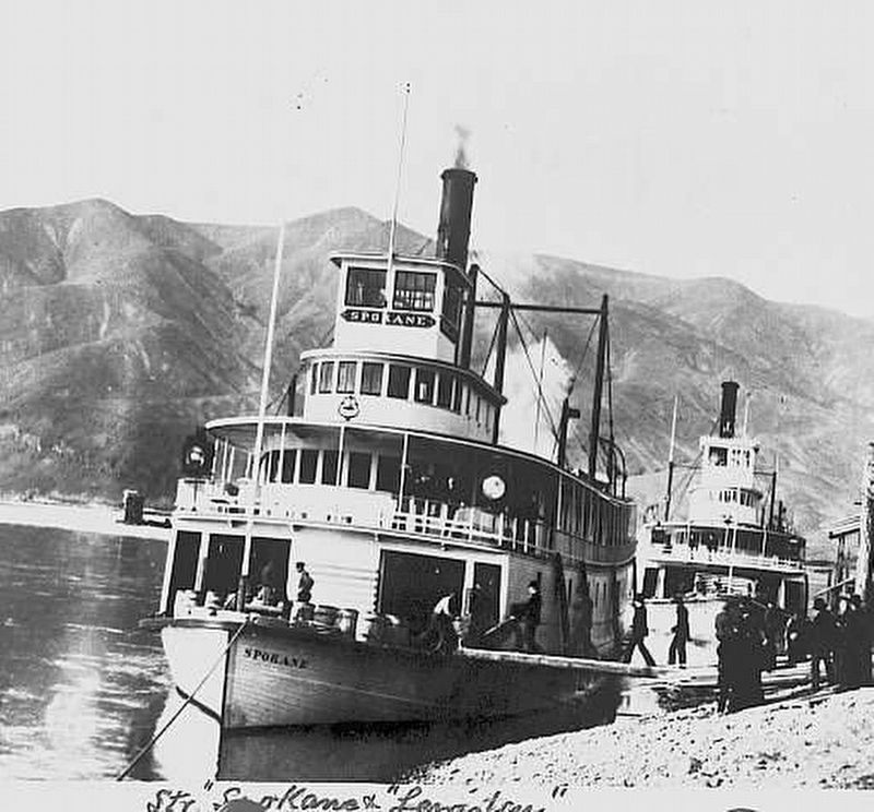
Steamboats continued to dock there until 1940, mainly after Columbia and Snake river channel improvements made navigation practical in 1914. Finally a series of locks and dams made Lewiston a seaport, and large scale river shipping resumed in 1975.
Erected by Idaho Department of Transportation. (Marker Number 418.)
Topics and series. This historical marker is listed in this topic list: Waterways & Vessels. In addition, it is included in the Idaho State Historical Society series list. A significant historical date for this entry is May 31, 1861.
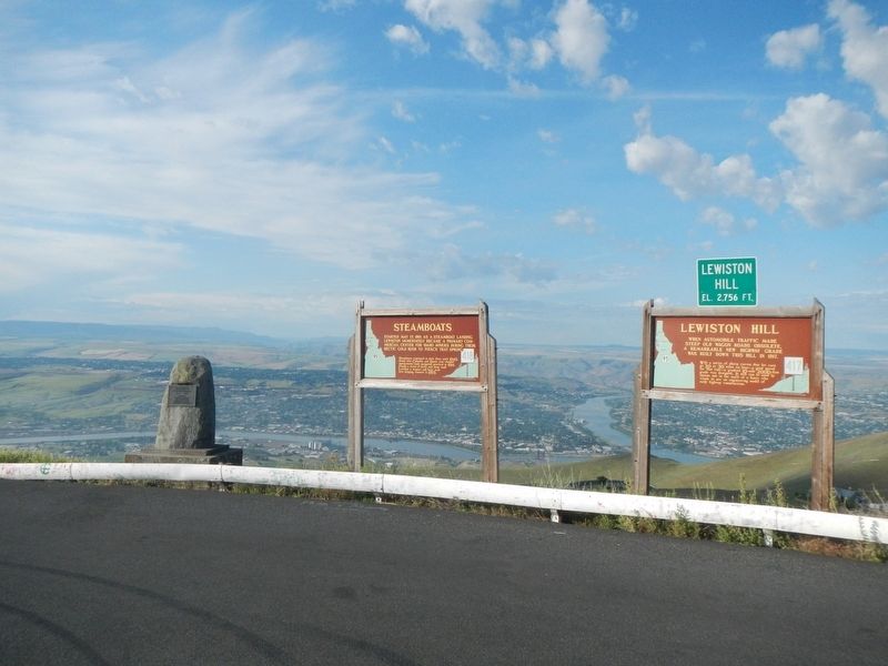
Location. 46° 27.612′ N, 117° 0.984′ W. Marker is near Lewiston, Idaho, in Nez Perce County. Marker is at the intersection of Old Spiral Highway and Beacon Drive, on the left when traveling west on Old Spiral Highway. Touch for map. Marker is at or near this postal address: 22729 Old Spiral Highway, Lewiston ID 83501, United States of America. Touch for directions.
Other nearby markers. At least 8 other markers are within 3 miles of this marker, measured as the crow flies. Lewiston Hill (a few steps from this marker); Bert Zimmerly (about 400 feet away, measured in a direct line); Mackenzie's Post (approx. 1.2 miles away); Lewis Clark State College (approx. 1.2 miles away); The First Capital (approx. 1.2 miles away); John Silcott (approx. 2˝ miles away); 18th St. Bridge (approx. 2˝ miles away); Lewis and Clark (approx. 2.6 miles away). Touch for a list and map of all markers in Lewiston.
Also see . . . Grand Steamboats Came to Lewiston in Their Glory Days - Lewiston Tribune. ----The Spray, the Cascadillia, the Harvest Queen the names have a ring to them, even though it's been many years since the sound of their whistles floated out over the everyday sounds of life in the Lewiston-Clarkston Valley. They are just a few in a long line of steamboats which served the area from the gold rush days until the last one left Lewiston in 1940. (Submitted on August 17, 2018, by Barry Swackhamer of Brentwood, California.)
Credits. This page was last revised on August 17, 2018. It was originally submitted on August 17, 2018, by Barry Swackhamer of Brentwood, California. This page has been viewed 206 times since then and 25 times this year. Photos: 1, 2, 3. submitted on August 17, 2018, by Barry Swackhamer of Brentwood, California.


