Bardstown in Nelson County, Kentucky — The American South (East South Central)
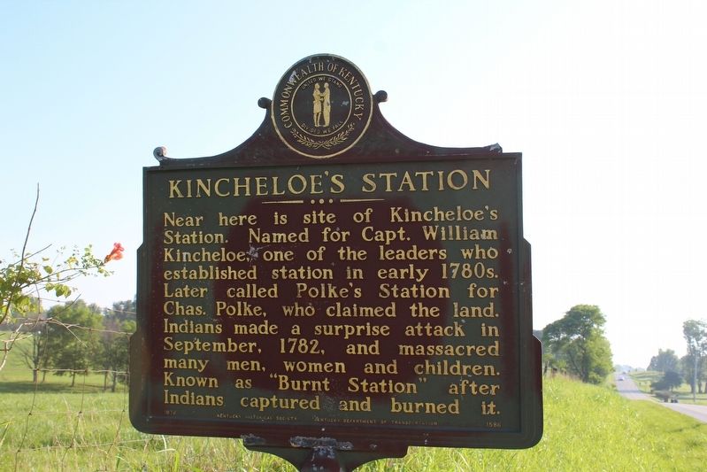
Kincheloe's Station
Erected 1976 by Kentucky Historical Society & Kentucky Department of Highways. (Marker Number 1586.)
Topics and series. This historical marker is listed in these topic lists: Forts and Castles • Native Americans • Wars, US Indian. In addition, it is included in the Kentucky Historical Society series list. A significant historical month for this entry is September 1782.
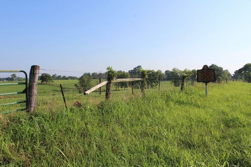
Location. 37° 51.421′ N, 85° 20.394′ W. Marker is in Bardstown, Kentucky, in Nelson County. Marker is at the intersection of Bloomfield Road (U.S. 62) and Brown's Lane (County Route 2230), on the left when traveling north on Bloomfield Road. Touch for map. Marker is in this post office area: Bardstown KY 40004, United States of America. Touch for directions.
Other nearby markers. At least 8 other markers are within 7 miles of this marker, measured as the crow flies. Camp Charity (approx. 1.9 miles away); Romantic 1825 Tragedy (approx. 4.3 miles away); Walnut Groves Farm (approx. 4.7 miles away); Ham Brown Log Cabin (approx. 4.9 miles away); Ferguson Chapel Site (approx. 6 miles away); Nazareth College (approx. 6.6 miles away); Washington County (approx. 6.6 miles away); Civil War in Bardstown (approx. 6.6 miles away). Touch for a list and map of all markers in Bardstown.
Also see . . . Kincheloe Fort & Bryan Stations. (Submitted on August 18, 2018, by Tom Bosse of Jefferson City, Tennessee.)
Credits. This page was last revised on August 21, 2018. It was originally submitted on August 18, 2018, by Tom Bosse of Jefferson City, Tennessee. This page has been viewed 1,156 times since then and 104 times this year. Photos: 1, 2. submitted on August 18, 2018, by Tom Bosse of Jefferson City, Tennessee. • Bill Pfingsten was the editor who published this page.

