
Merton in Greater London, England, United Kingdom — Northwestern Europe (the British Isles)
Merton Place

Photographed by Michael Herrick, July 28, 2018
1. Merton Place Marker
Topics. This historical marker is listed in this topic list: Wars, Non-US.
Location. 51° 24.936′ N, 0° 11.308′ W. Marker is in Merton, England, in Greater London. It is at the intersection of Merton High Street and Doel Close, on the left when traveling west on Merton High Street. Touch for map. Marker is in this post office area: Merton, England SW19 2XH, United Kingdom. Touch for directions.

Regionally, this marker is in London and in the Greater South East. Globally, it is on the Atlantic Ocean, in the North Atlantic Region, in Europe, in Atlantic Europe, on one of the British Isles, in the Western World, and in the Anglosphere. Historically, it finds itself in what was once the Roman Empire.
Other nearby markers. At least 8 other markers are within 6 kilometers of this marker, measured as the crow flies:
this page online
Regarding Merton Place. The site of Merton Place, Nelson's home, is now occupied by The Nelson Arms pub.
Related marker. Click here for another marker that is related to this marker. Where Admiral Lord Nelson was mortally wounded on HMS Victory at the Battle of Trafalgar
Also see . . . Horatio Nelson, 1st Viscount Nelson on Wikipedia. (Submitted on August 19, 2018, by Michael Herrick of Southbury, Connecticut.)

Photographed by Michael Herrick, July 28, 2018
2. Merton Place Marker

Photographed by Michael Herrick, July 28, 2018
3. The Nelson Arms
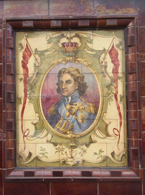
Photographed by Michael Herrick, July 28, 2018
4. Admiral Lord Nelson
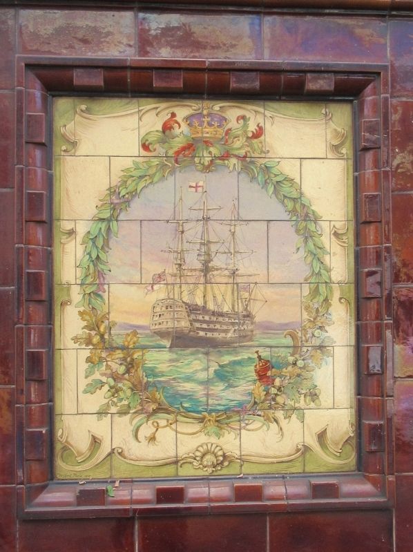
Photographed by Michael Herrick, July 28, 2018
5. HMS Victory
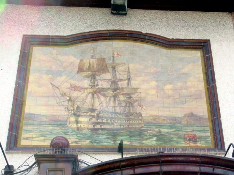
Photographed by Michael Herrick, July 28, 2018
6. HMS Victory
Credits. This page was last revised on January 27, 2022. It was originally submitted on August 19, 2018, by Michael Herrick of Southbury, Connecticut. This page has been viewed 658 times since then and 111 times this year. Photos: 1, 2, 3, 4, 5, 6. submitted on August 19, 2018, by Michael Herrick of Southbury, Connecticut.
